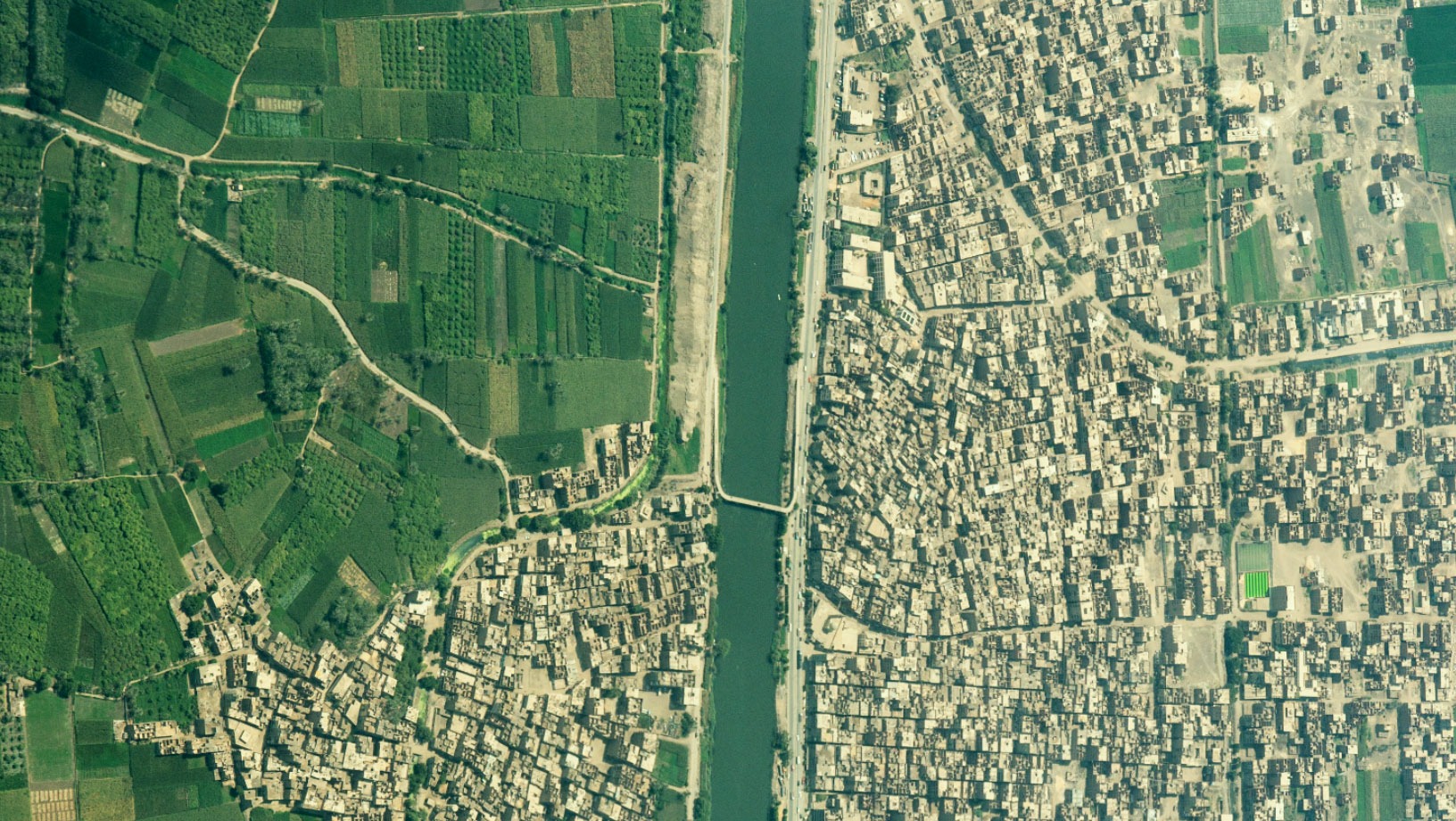
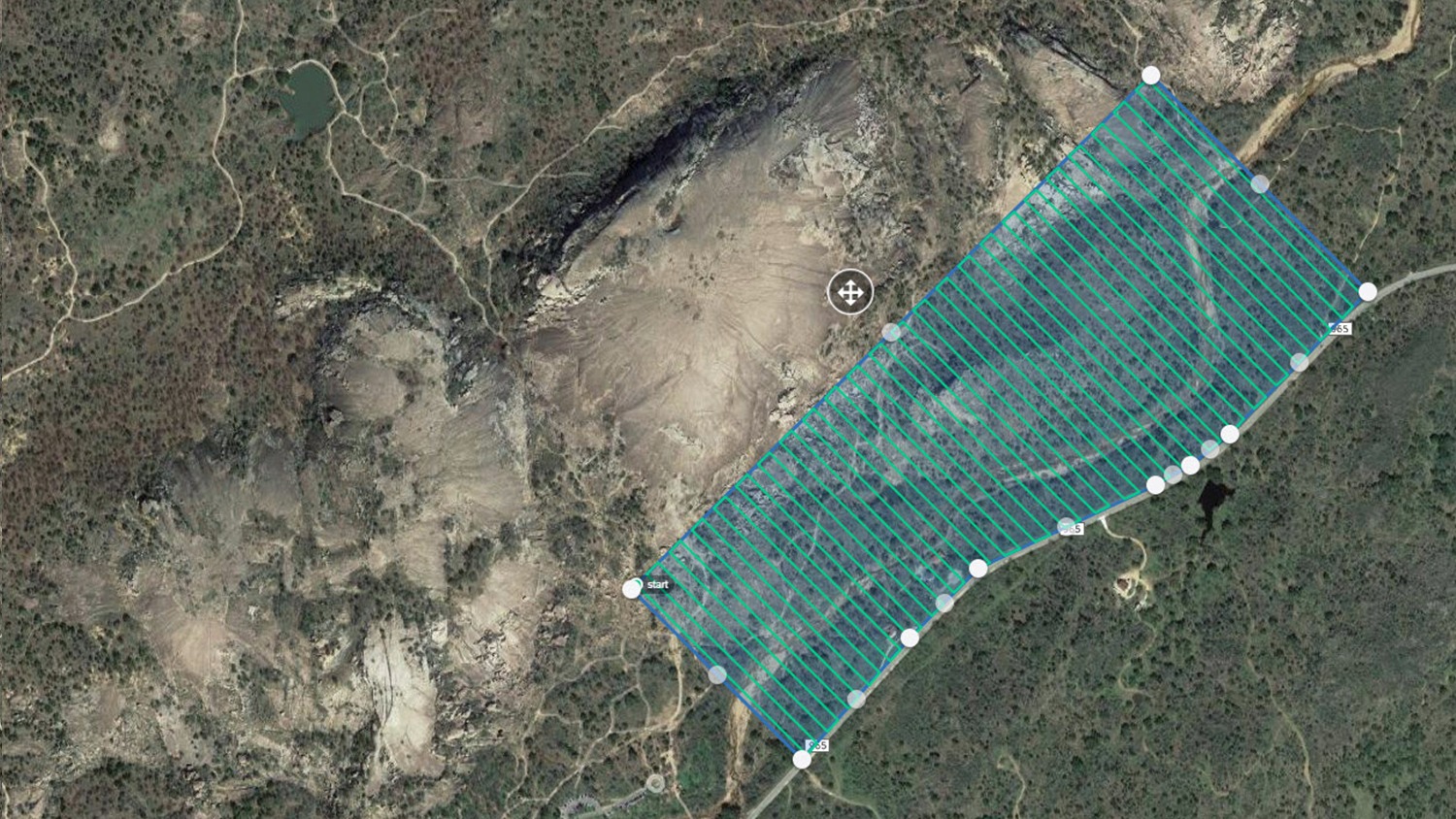
Encroachment Detection
Within the field of Geographic Information Systems (GIS), encroachment management and detection have emerged as critical responsibilities for land administration, infrastructure development,
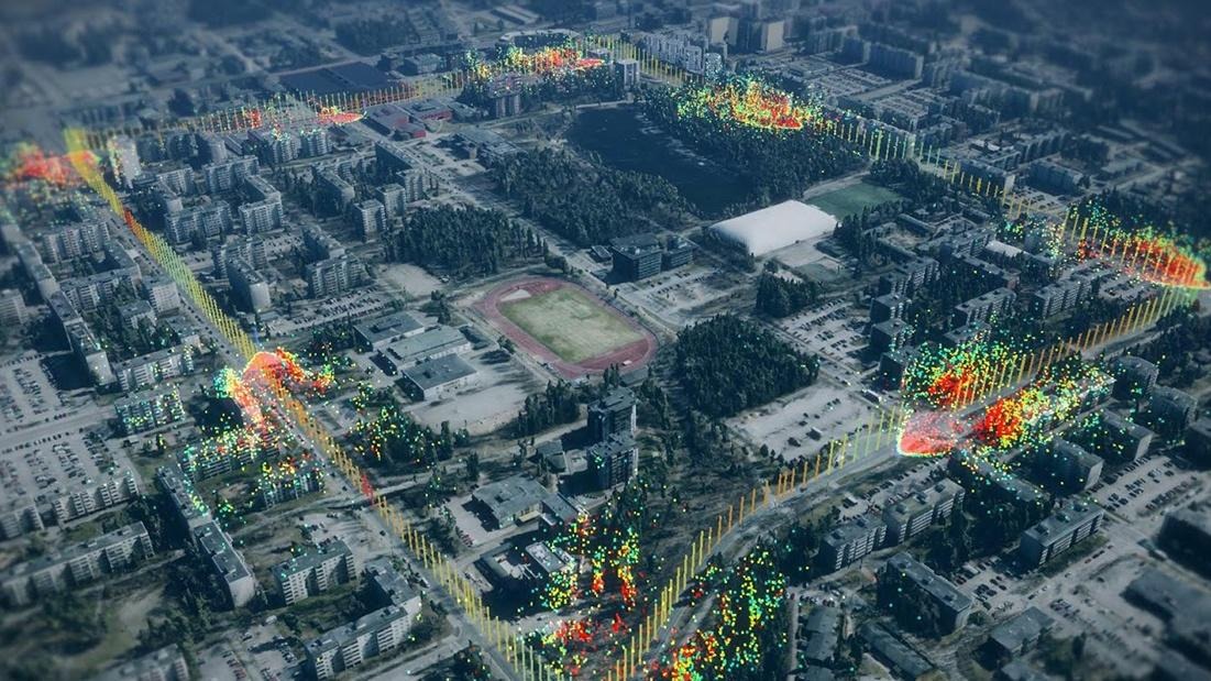
Geospatial Technology used for Digital Twin
Geospatial technology has become a potent tool in the quickly changing technological landscape, revolutionizing our understanding of and interactions with our surroundings.
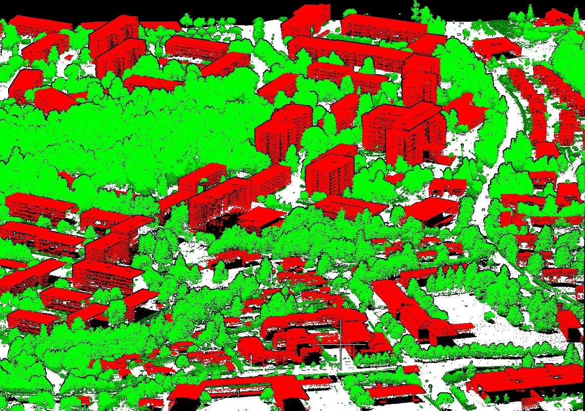
What are the applications of LiDAR in GIS?
What is LiDAR in GIS? GIS has seen a revolution in technology with the emergence of LiDAR, or Light Detection and Ranging.
What is Orthorectification?
Orthorectification is a critical step in the Geographic Information Systems (GIS) domain that guarantees the precision and dependability of spatial data. This
Ground Control Points (GCPs)
Accuracy and precision are critical in the ever-changing field of Geographic Information Systems (GIS). To guarantee the accuracy of geographical data, GIS
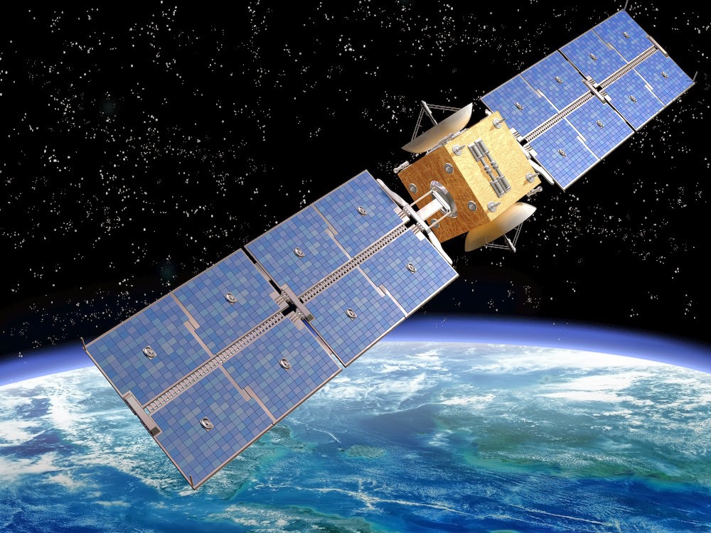
What Is Satellite Remote Sensing and Its Applications?
In Geographic Information Systems, satellite remote sensing has become a ground-breaking technology that is revolutionizing how we view and manage our globe.