Digital Terrain Model (DTM)
TERRAIN MODELING (DTM)
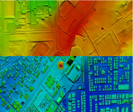
Digital terrain model (DTM), also known as Digital elevation model (DEM), is the practice of creating a digital representation of ground topography and terrain. A digital terrain models usually includes only the earth’s surface, excluding vegetation as well as buildings or other man-made features.
This is sometimes referred to as a bare-earth model. A digital surface model, by contrast, shows these features in addition to the natural terrain. DTM is the collection of mass points of elevations and 3D breaklines at each change of terrain. The mass points are collected at a grid spacing that meets project requirements. A Digital Terrain Model represents the terrain accurately enough to generate contours that meet specific standards.
Our highly experienced team at SATPALDA creates the most sophisticated Digital Terrain Models (DTMs) which is the source for our value added services such as contour extraction, orthorectification, watershed modelling, slope and aspect maps. We also specialize in 3D modeling, volumetric calculations, and powerline surveys by generating high resolution DEMs. Large numbers of DTM points are automatically extracted from stereo pair images and we emphasize in using advanced post-processing tools and methods to overcome anomalies in DTM and generate high accuracy deliverables. The client can specify the output format as required.