
Satellite Imagery of the Earth
The term “satellite imagery” describes the image of the Earth’s surface that is obtained by satellites in orbit and these photos are
GIS Applications in Civil Engineering
Geographic Information System technology is now widely used in many different industries with significant applications in civil engineering and the spatial viewpoint
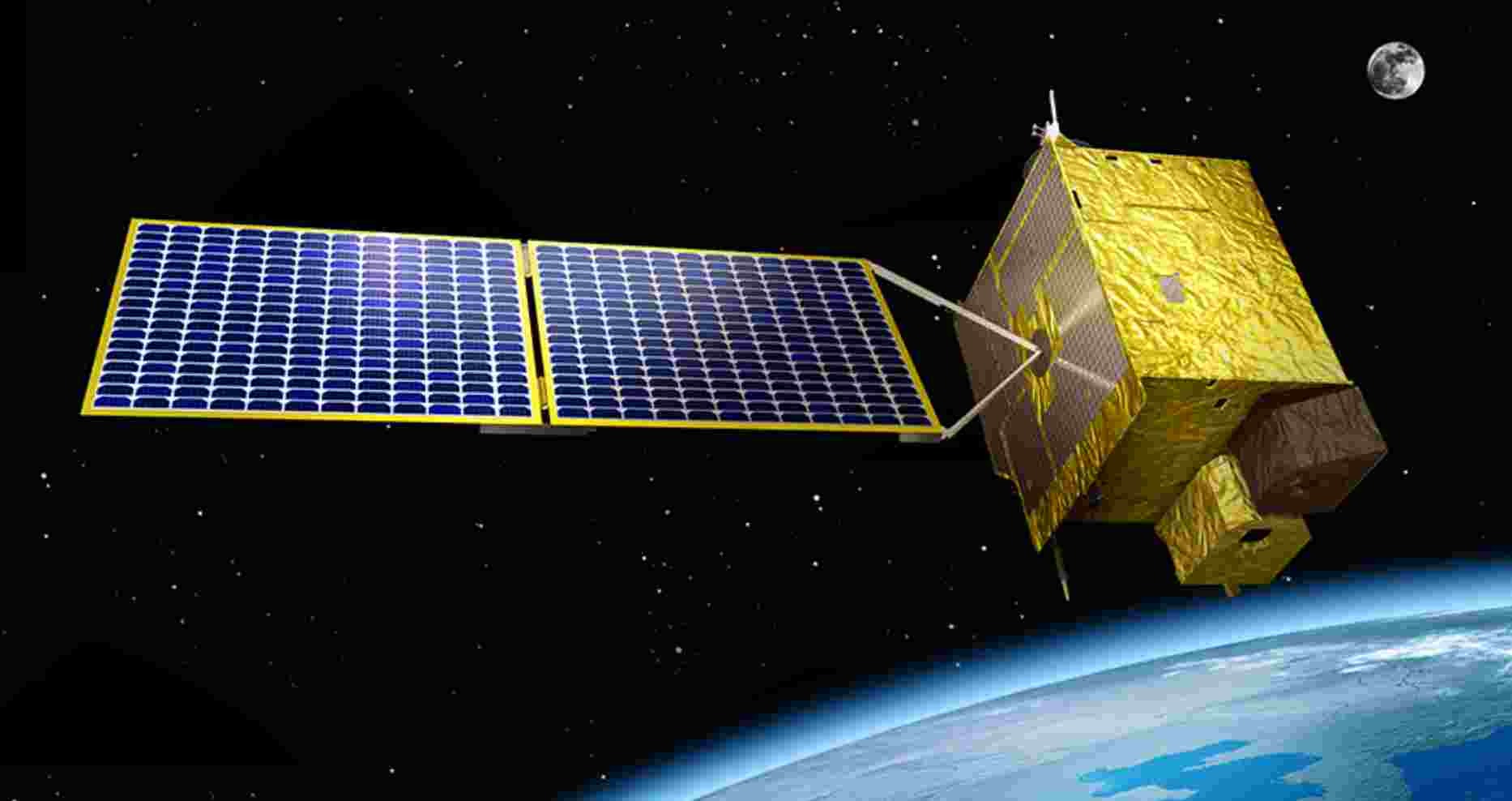
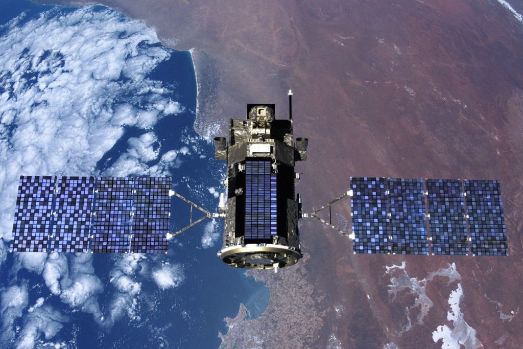
KOMPSAT
Within the dynamic field of Geographic Information Systems, satellite technology is essential for gathering, analyzing and sharing geospatial data. The Korea Multi-Purpose
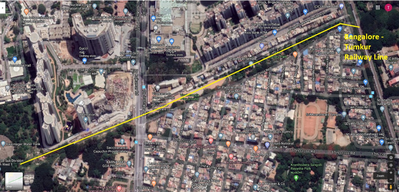
Railway Corridor Mapping
The process of producing precise and in-depth spatial representations of railroad infrastructure and its surroundings is known as “railway corridor mapping. To
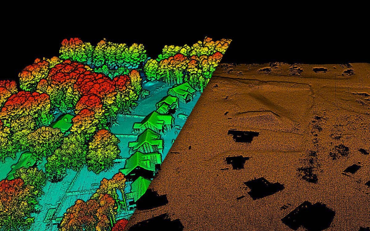
Digital Elevation Models
What is a digital elevation model (DEM)? A Digital Elevation Model (DEM) is a representation of the bare ground (bare earth) topographic surface
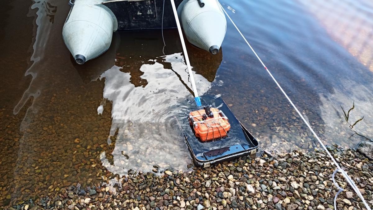
Ground Penetrating Radar (GPR)
Technological developments in the field of Geographic Information Systems (GIS) are always pushing the frontiers of investigation and analysis. Ground Penetrating Radar