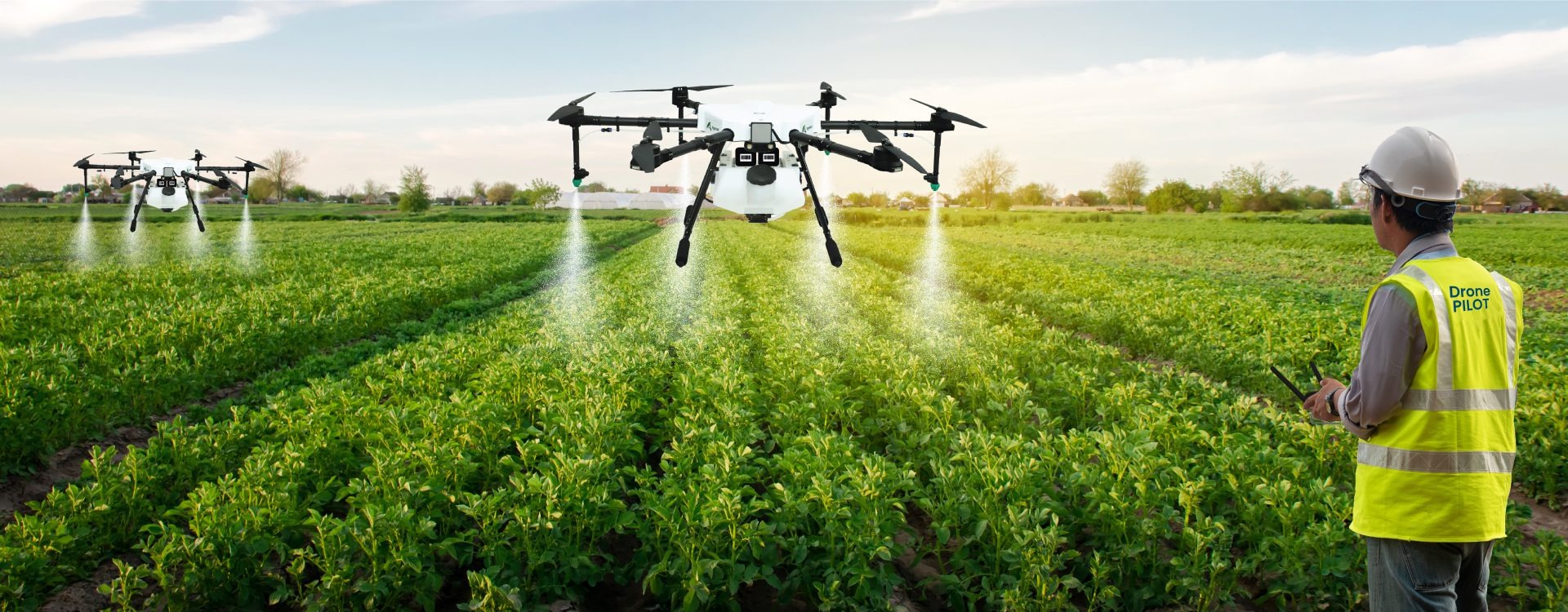
Drones in Agriculture
With the introduction of innovative technologies, the agricultural landscape has undergone a dramatic transition in recent years and the use of drones
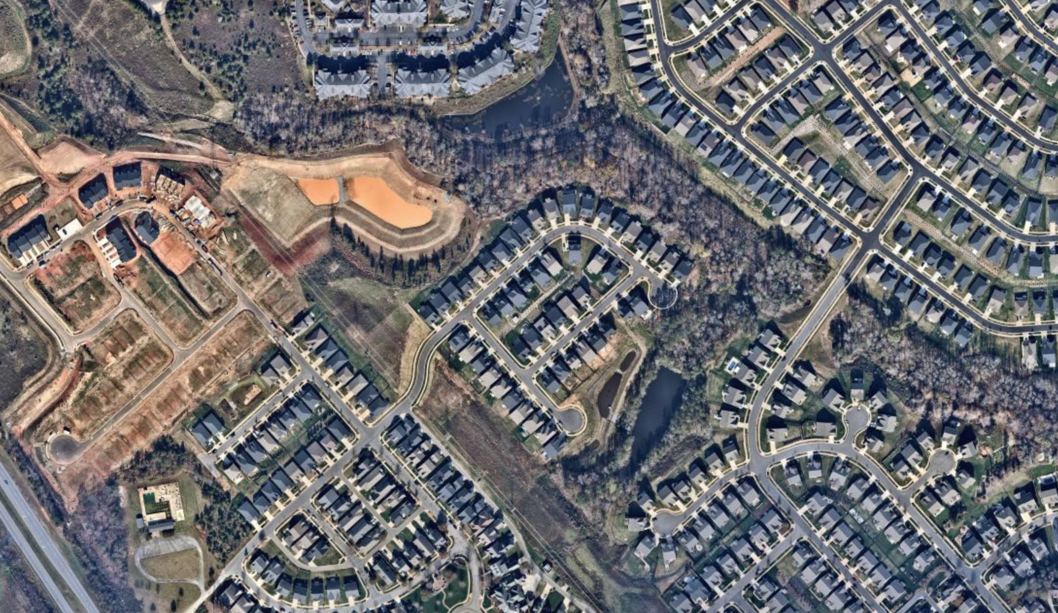
What is Aerial Photogrammetry?
Aerial photogrammetry is a process that involves the collection and interpretation of spatial data from aerial photographs where these photographs often captured
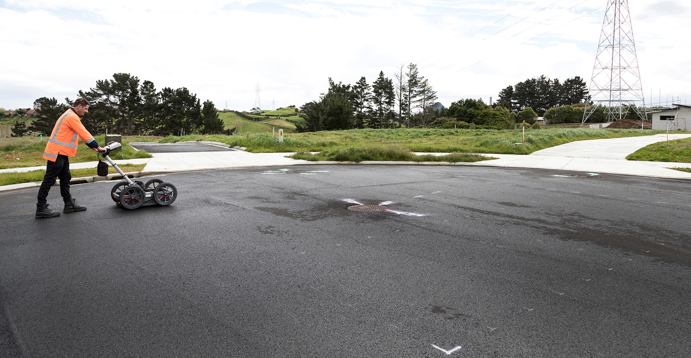
Ground Penetrating Radar Survey
A geophysical technique called ground penetrating radar survey (GPR Survey) uses electromagnetic waves to image and assess underlying objects where the system
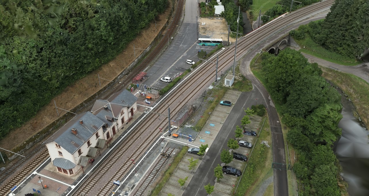
What Is Photogrammetry?
The concepts of triangulation and stereoscopy are the foundation of photogrammetry where triangulation entails calculating the angles created by the point being
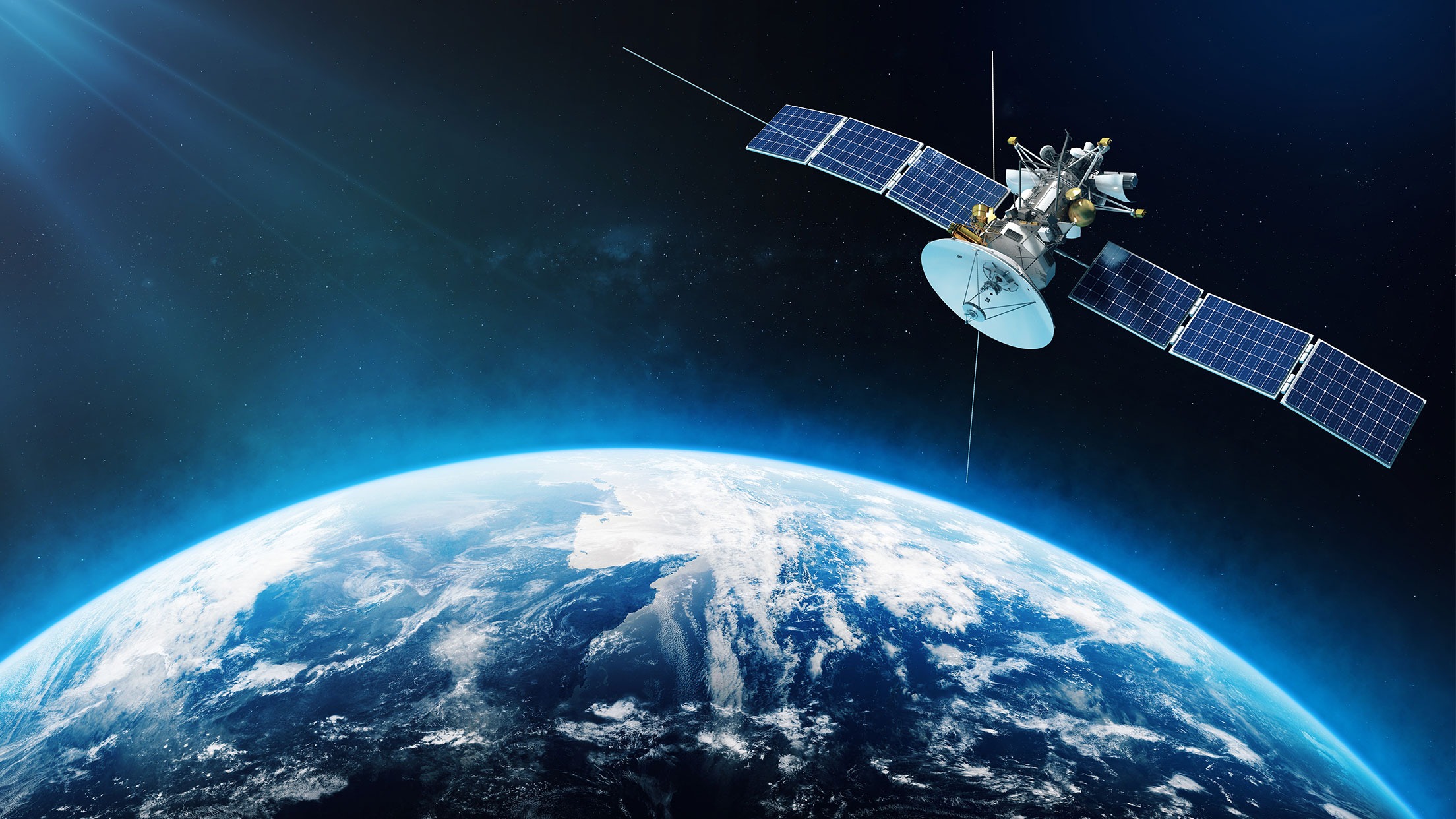
Applications Of Satellite Imagery
The field of Geographic Information Systems relies heavily on satellite imagery to collect, analyze, and interpret spatial data. Satellite photography which is
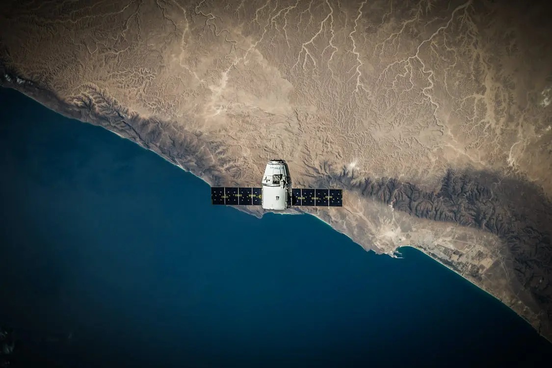
Top 10 Free Satellite Imagery Providers
The term “satellite imagery” describes the picture of the Earth’s surface that is taken by imaging satellites in orbit around the planet