| Coverage |
Worldwide |
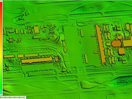
| Data Type |
Digital Surface Model (DSM) |
| Posting |
6.0 m (nominal, varies by latitude) |
| Absolute Vertical Accuracy |
3.0 m LE90 |
| Absolute Horizontal Accuracy |
5.0 m CE90 |
| Projection/Datum |
Geographic, WGS84 datum, EGM2008 geoid |
| Certification (Planned) |
Commission Implementing Regulation (EU) 2017/373 (EASA type 1 certification) RTCA DO-200B, RTCA DO-276C, RTCA DO-291 |
| Building Models |
> 80 % of buildings globally, in populated areas |
| Data Update |
Continually updated |
| Hydro Enforcement |
Flattened Water Bodies Rivers (double-line drains) |
| Airport Details |
Over 12,000 airports |
| Licensing |
Annual subscription |