Pleiades-1A
Pleiades-1A
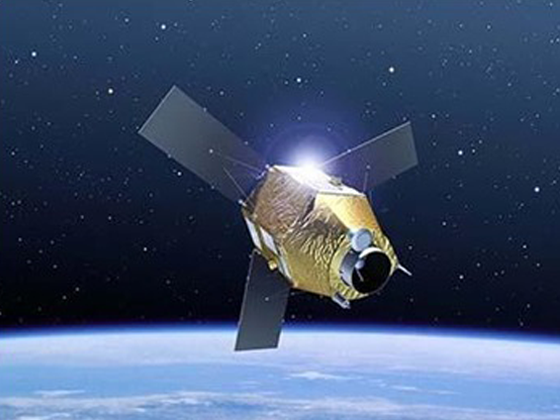
AIRBUS Defence & Space Pleiades-1A satellite sensor was successfully launched on December 16, 2011 and provides 0.5m high resolution satellite image data. The Pleiades-1A satellite is capable of providing Orthorectified color data at 0.5-meter resolution and revisiting any point on Earth as it covers a total of 1 million square kilometres (approximately 386,102 square miles) daily.
Specifications of the satellite
| Resolution | 50-cm black and white 50-cm color Multispectral 2.0 m Bundle: 50-cm B&W and 2-meter multispectral |
| Nominal swath width | 20km at Nadir |
| Spectral Bands | Pan: 450-830 nm Blue: 430-550 nm Green: 500-620 nm Red: 590-710 nm Near IR: 740-940 nm |
| Archive availability | From September 2012 |
| Pre-processing Levels | Sensor, Ortho |
| Programmability | Yes |
| Image Location Accuracy | With ground control points: 1m Without ground control points: 3m (CE90) |
| Minimum area of purchase | 25 sq. km. for Archive Imagery 100 sq. km. for New Collect imagery |
| Stereo available | Yes |
| Best scale | 1 : 2000 |
| Imaging Capacity | Daily constellation capacity: 1,000,000 sq.km. Strip mapping (mosaic): 100 km x 100 km Stereo imaging: 20 km x 280 km Max. spots over 100 km x 200 km: 30 (crisis mode) |