Leading Global Innovation in Geospatial Intelligence
Delivering high-resolution satellite imagery and geospatial analytics to governments, enterprises, and research organizations globally.
Our Partners
Our International Satellite partners


Satellite imagery and Geospatial services provider
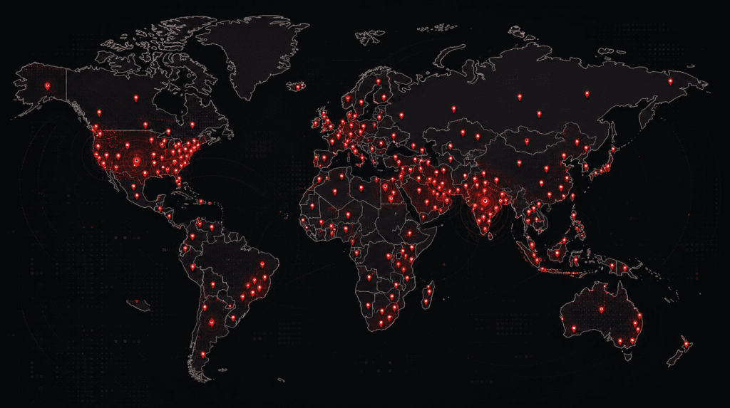
From regional mapping projects to large-scale international operations, Satpalda supports organizations worldwide with advanced satellite imagery, GIS, and geospatial intelligence solutions across diverse industries and geographies.

9+ Years of Global Geospatial Leadership
For over a decade, SATPALDA has been delivering advanced satellite imagery and geospatial intelligence solutions to organizations across the world. With deep expertise in Earth observation, GIS Mapping, Remote Sensing, and Spatial Analytics, we help governments, enterprises, and industry leaders make faster, smarter, and more informed decisions. Our commitment to innovation, accuracy, and scalable geospatial solutions has positioned SATPALDA as a trusted Global Partner for critical mapping, monitoring, and Intelligence-driven projects across diverse industries.
Years of Expertise
Countries Served
Projects Completed
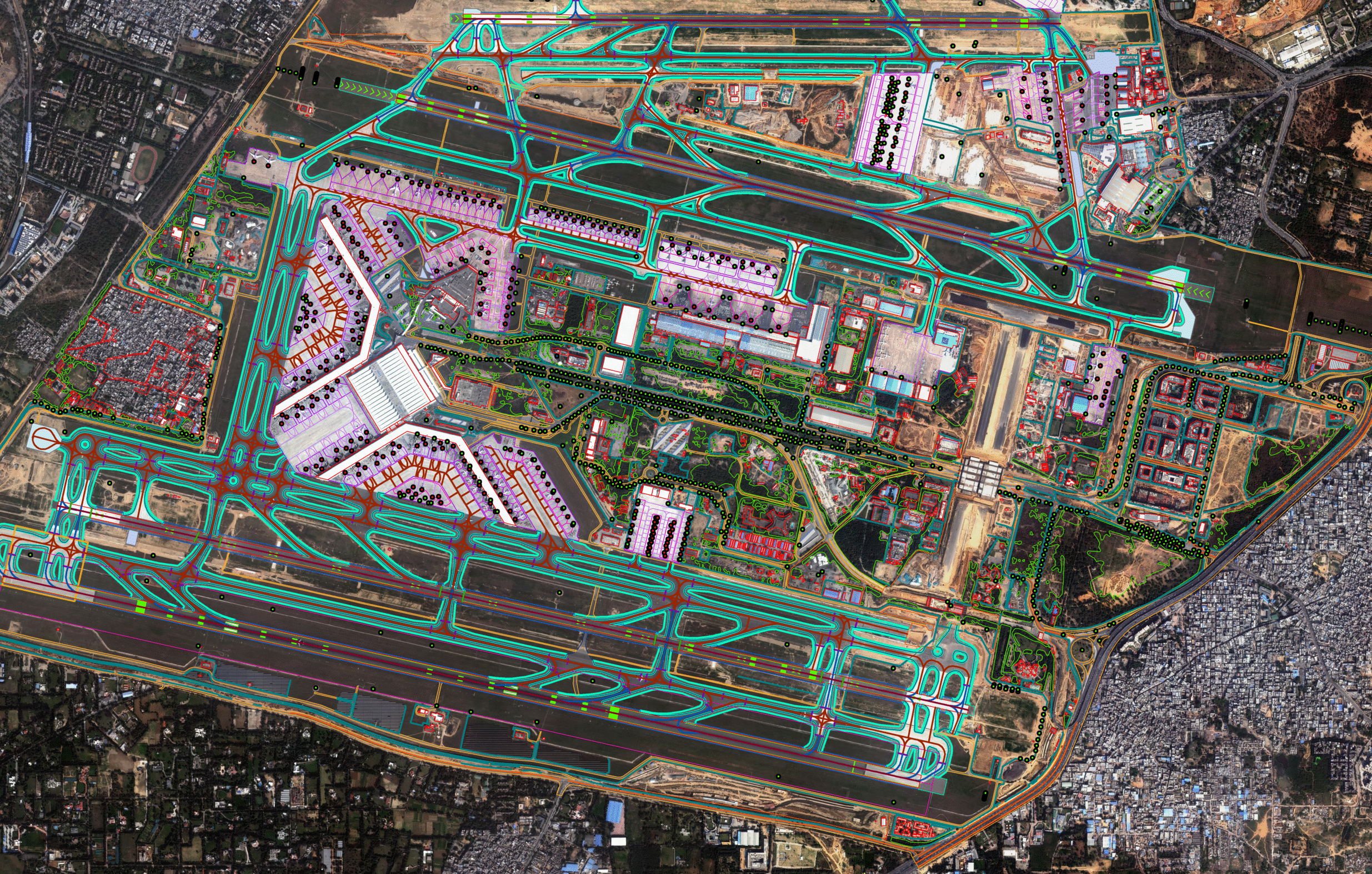
Our Gallery
Image of the week
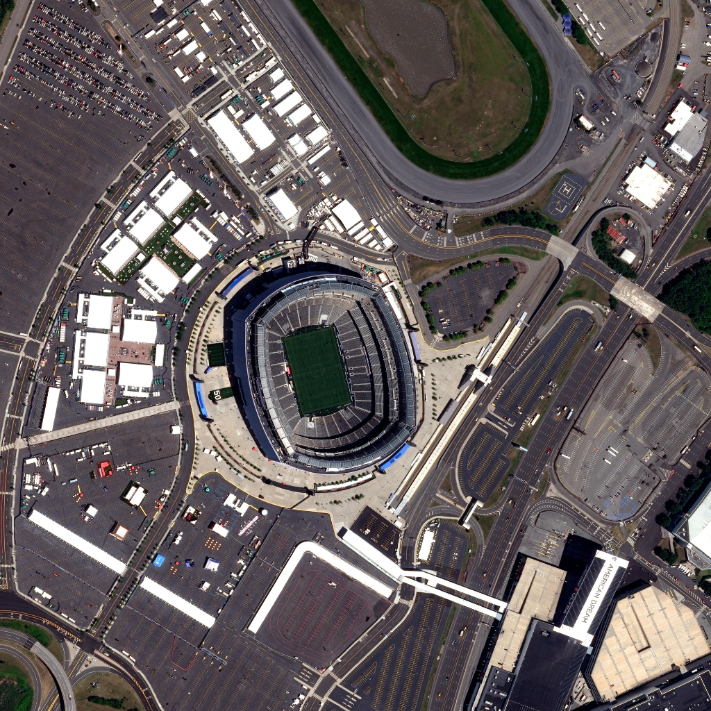
MetLife Stadium, New Jersey, USA
30 Cm Satellite Imagery
Explore MetLife Stadium, East Rutherford, New Jersey, USA, through 30 cm high-resolution Mono Imagery. Captured during the excitement of the FIFA World Cup, this detailed satellite image highlights one of the tournament’s premier venues along with its surrounding transportation network, parking facilities, and urban infrastructure.
The exceptional clarity of 30 cm Mono Imagery supports urban mapping, infrastructure monitoring, GIS analysis, and geospatial intelligence. It demonstrates how high-resolution satellite data enables accurate planning, event monitoring, and informed decision-making for large-scale sporting venues and modern urban environments.
Real-World success stories
Reduced project delays by 30% in urban infrastructure projects through the integration of high-resolution satellite imagery and advanced geospatial analytics. Satpalda’s solutions enable organizations to monitor construction progress, analyze land use changes, and identify potential risks with greater accuracy and speed.


Why Choose
SATPALDA Satellite Imagery Solutions
SATPALDA delivers advanced Geospatial solutions powered by high-resolution satellite imagery, GIS Mapping, and Earth observation technologies. With extensive industry expertise and access to global geospatial data sources, we help organizations transform complex spatial information into actionable intelligence. Our focus on accuracy, scalability, and customized solutions enables governments, enterprises, and organizations worldwide to make informed decisions across critical industries including agriculture, defense, infrastructure, mining, and environmental monitoring.
Global Geospatial Expertise
With years of experience in satellite imagery and geospatial intelligence, Satpalda delivers reliable solutions tailored to complex industry requirements across global markets.
Advanced Data & Technology Access
We leverage high-resolution satellite imagery, GIS technologies, remote sensing, and spatial analytics to provide accurate and scalable geospatial insights.
Industry-Focused Solutions
Our solutions are designed to address real-world challenges across multiple industries, enabling better planning, monitoring, and data-driven decision-making.
Got a Satellite Imagery Project in Mind?
Tell us your requirements and get high-resolution satellite data tailored to your project—any location, any scale, any industry.
Excellence across the industries
International operations
Delivering Geospatial Solutions Across the Globe