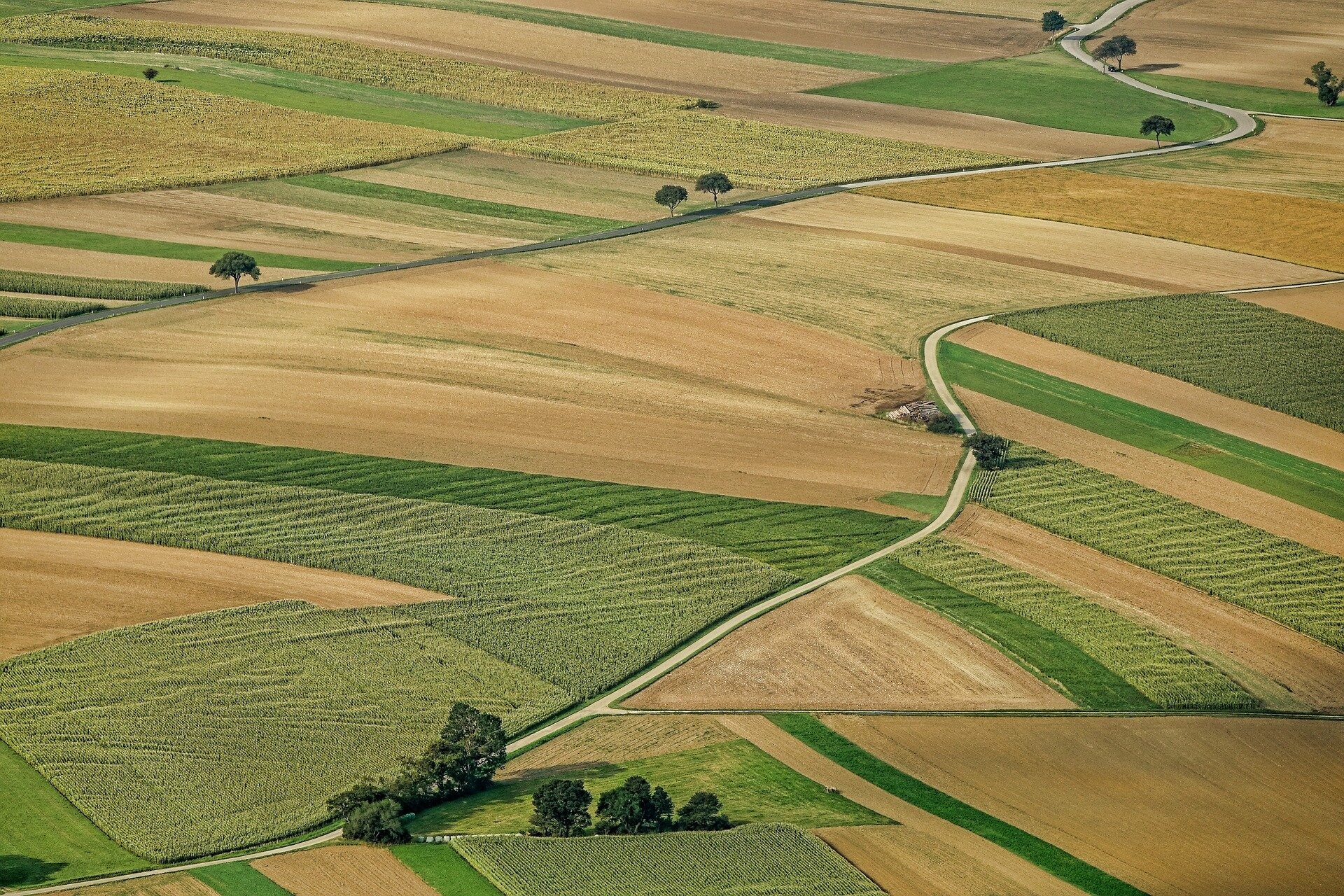
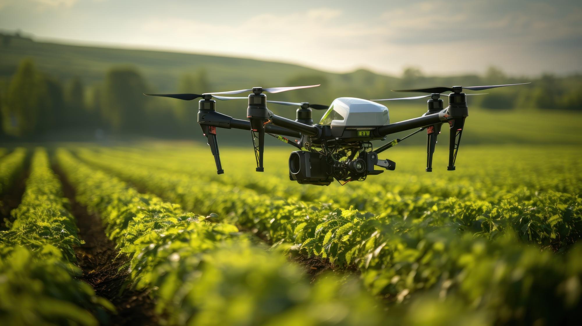
Agriculture Mapping
Farmers have always been at the forefront of technological innovation in agriculture, looking for new and creative ways to maximize crop yields,
Drone Agriculture Mapping
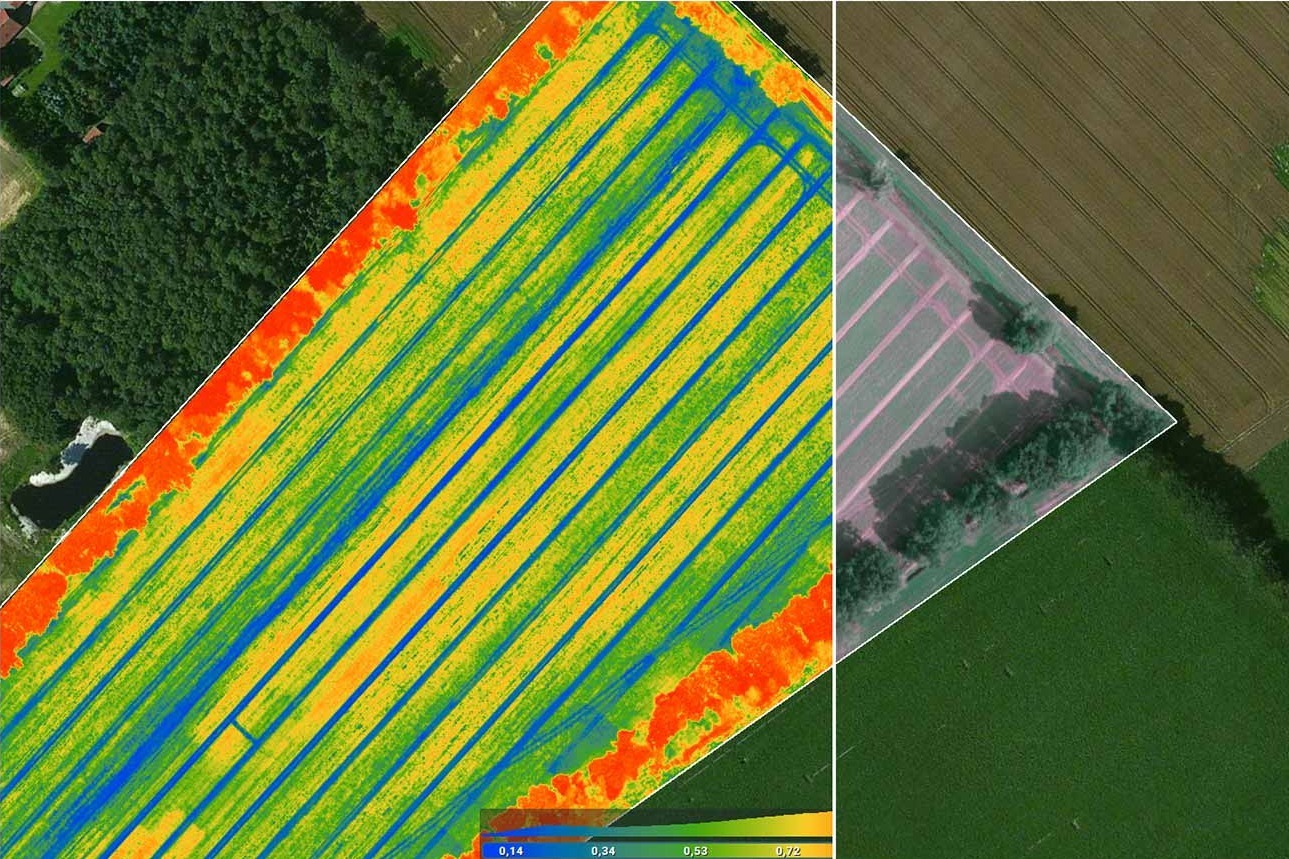
Using Unmanned Aerial Vehicles (UAVs) or drones to map agricultural landscapes and gather spatial data, drone agriculture mapping entails taking high-resolution aerial
Stereo Imagery
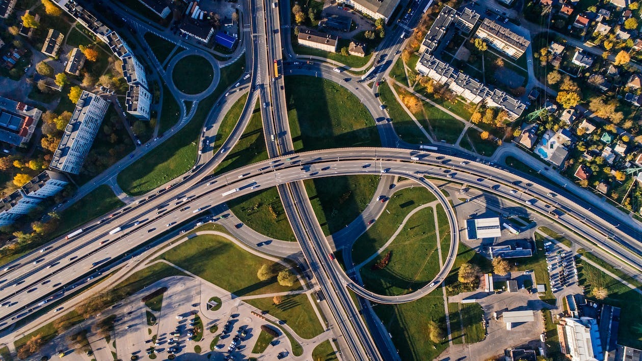
GIS is now an essential tool for contemporary mapping and spatial analysis where stereo imagery is one GIS tool that sticks out
KOMPSAT-3A Satellite Sensor
When it comes to obtaining high-resolution pictures for a variety of uses including disaster management, environmental monitoring and urban planning, satellite technology
Types of Drones in Agriculture
The agricultural industry has experienced a technological revolution in recent years adopting creative solutions to boost productivity and efficiency where the use
Types of Aerial Photogrammetry
Aerial photogrammetry is a basic method for gathering and interpreting spatial data and by using aerial imagery to gather geospatial data, this