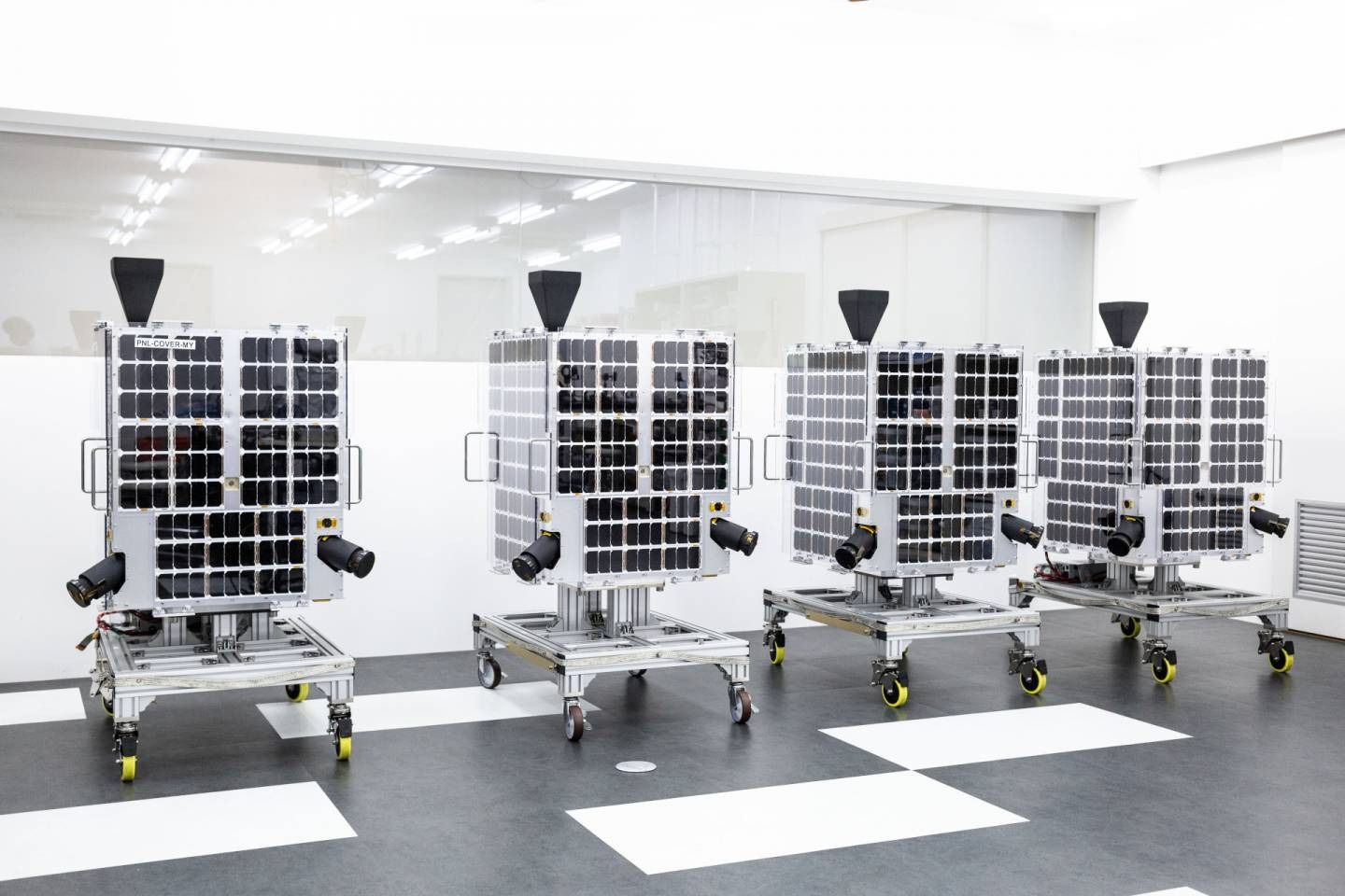
GRUS
GRUS is a significant advancement in satellite technology created to satisfy the expanding needs of the GIS sector where the satellite which
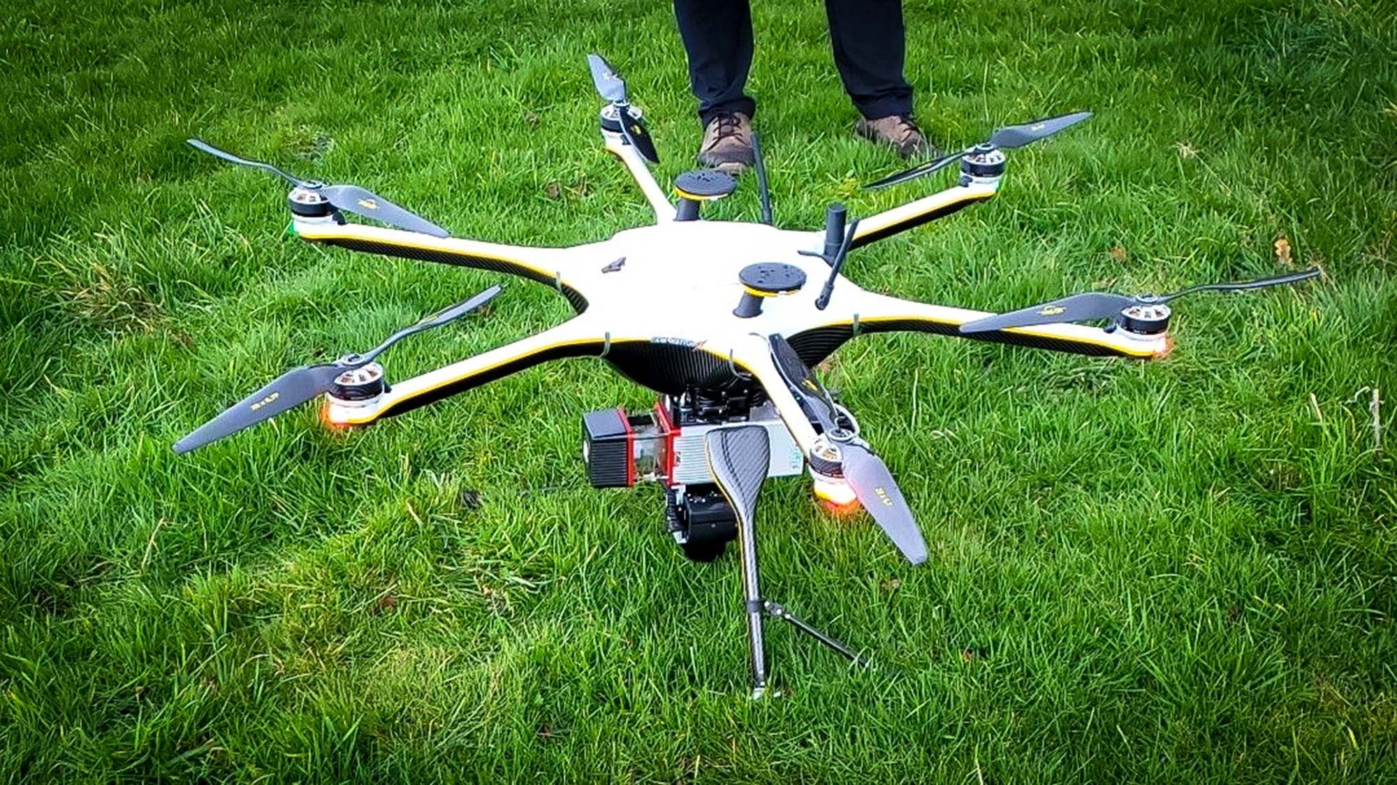
Drone Survey
Drone surveys have been around since the early 20th century but they have come of age as a GIS powerhouse in the
GIS Drone Photography and Video
The field of geospatial data capture has seen a dramatic change as a result of the incorporation of drone photography and video
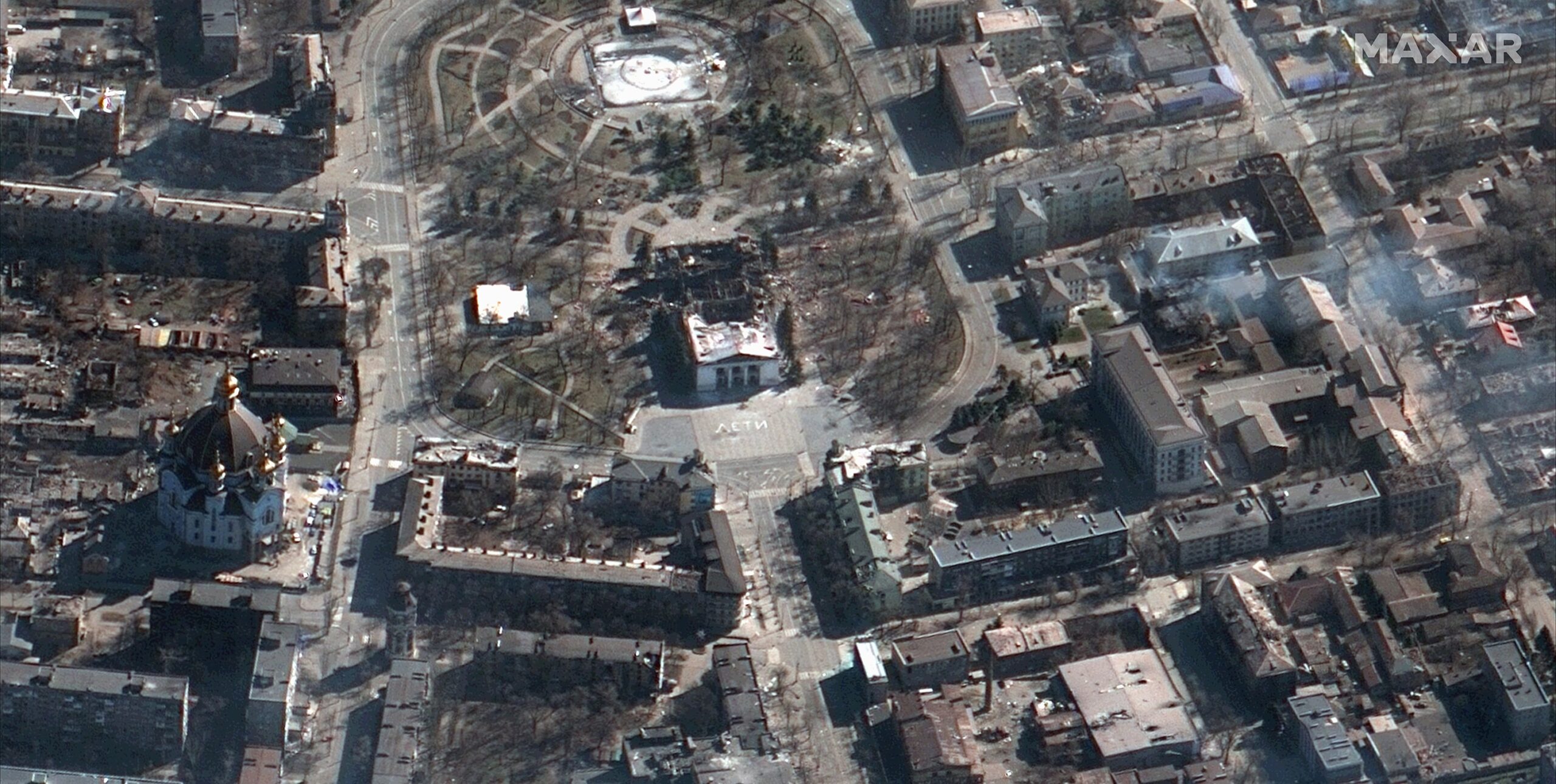
MAXAR Imagery
MAXAR operates the WorldView-1, WorldView-2, WorldView-3 and WorldView-4 advanced satellite constellations where modern imaging sensors on these satellites allow them to take
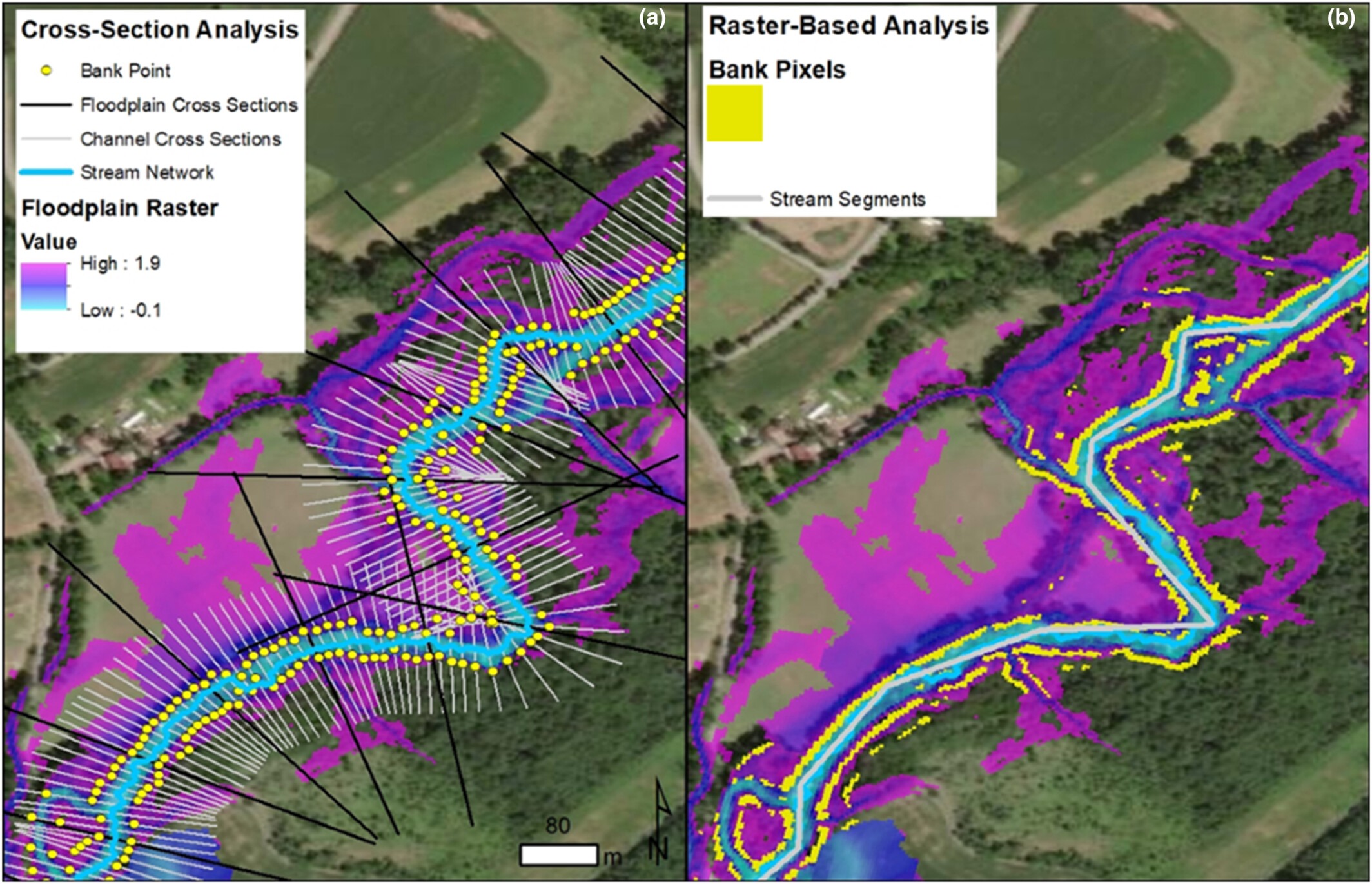
Floodplain Mapping
Floodplain mapping is a critical aspect of disaster management and urban planning leveraging advanced GIS technologies. Floods have been perennial threats to
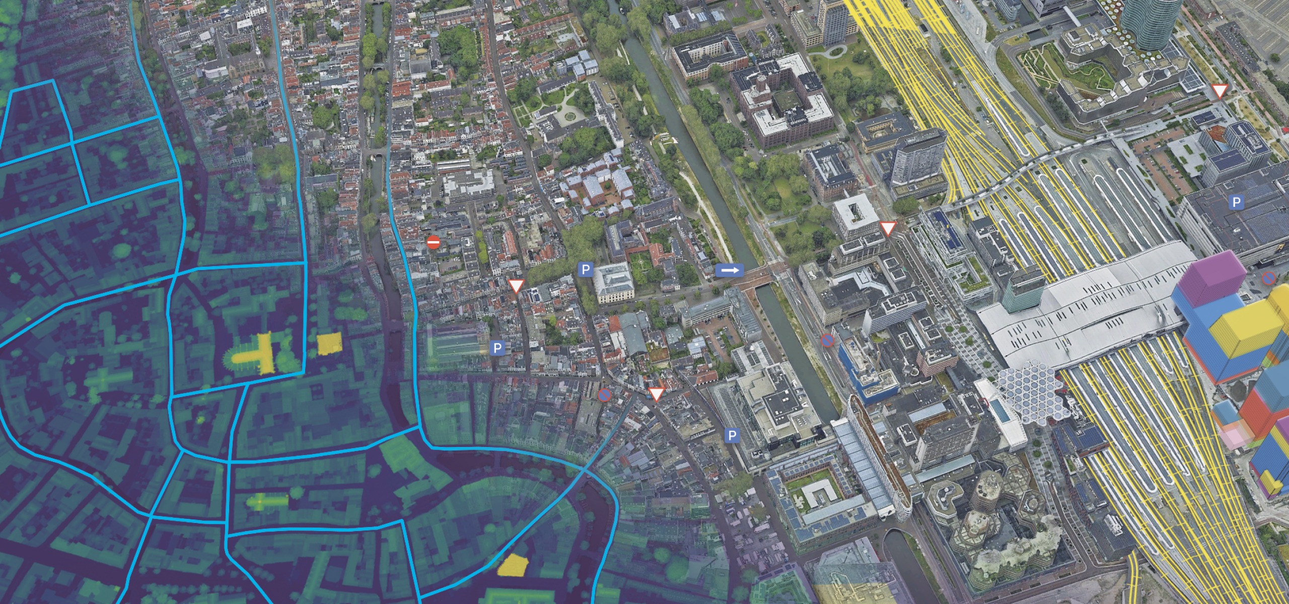
Web GIS
Web GIS: Technologies and Its Applications The word “web GIS,” which stands for “web geographic information systems,” refers to the way that