In Geographic Information Systems, satellite remote sensing has become a ground-breaking technology that is revolutionizing how we view and manage our globe. This cutting-edge method uses satellites in orbit to gather information about the Earth’s surface, atmosphere, and seas. New opportunities for scientific study, environmental monitoring, disaster management, urban planning, and other fields have been made possible by combining satellite remote sensing and GIS technologies. This article delves into the complexities of satellite remote sensing, examining its essential elements, uses, and crucial function in the GIS sector.
Satellite Remote Sensing Foundations
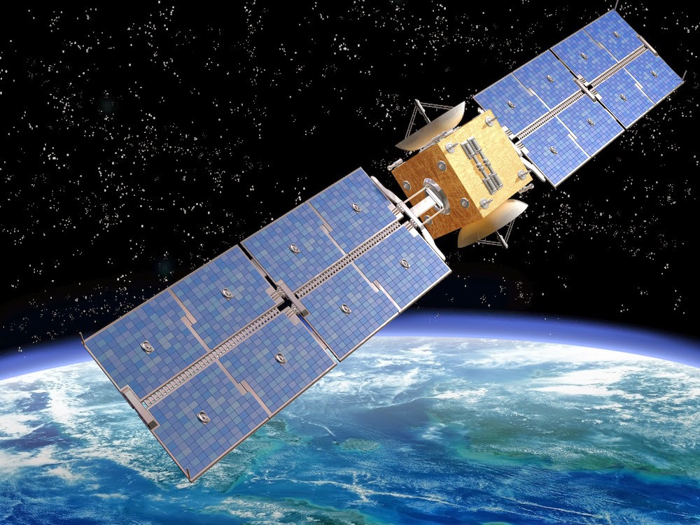
- Platforms and Sensors:
Sophisticated sensors installed on multiple platforms circling the Earth are the foundation of satellite remote sensing. With the use of these sensors, which can detect electromagnetic radiation at various wavelengths, multispectral images with great detail can be produced. Earth Observing Satellites (EOS) are among the platforms that house these sensors. They orbit at various altitudes and collect a variety of data for various uses. For visual interpretation and analysis, optical sensors—such as those that use visible and infrared wavelengths—capture imagery. Conversely, microwave sensors can reach through cloud cover and offer useful information for uses such as radar mapping and soil moisture evaluation.
- The Spectral Bands and Resolution:
In satellite remote sensing, resolution plays a critical role in determining the amount of detail that is collected in a picture. The lowest detectable object’s size in an image is referred to as spatial resolution, whilst the number and width of the spectral bands that the sensor was able to capture are referred to as spectral resolution. For applications where precise information is required, such as urban planning, agriculture, and forestry, high-resolution imaging is critical. On the other hand, for more general applications like climate monitoring, lesser resolutions might be adequate.
Applications of Satellite Remote Sensing
- Environmental Surveillance:
One powerful technique for tracking and evaluating environmental changes is satellite remote sensing. Satellites offer a bird’s-eye view that helps with the understanding of complex environmental dynamics, from deforestation and changes in land cover to the detection of pollution and natural disasters. To collect and analyze this data and help scientists and politicians make decisions about conservation efforts, sustainable resource management, and mitigating the effects of climate change, GIS is essential.
- Agriculture and Accurate Farming:
The agricultural sector has experienced a considerable impact from the marriage of GIS with satellite remote sensing. Farmers can monitor crop health, evaluate soil conditions, and optimize irrigation techniques with the use of remote sensing data. After processing this data, GIS platforms provide intricate maps that serve as a reference for precision agricultural methods. By helping to identify regions in need of particular interventions, like insect management or fertilization, these maps ultimately improve crop yields and resource efficiency.
- Response and Management of Disasters:
Since satellite remote sensing can provide precise and timely information during natural disasters like earthquakes, hurricanes, and floods, it is essential to disaster management efforts. Satellite imagery is integrated into GIS applications to evaluate damage levels, pinpoint regions of vulnerability, and develop efficient response plans. Satellite data in real-time supports early warning systems, allowing authorities to strategically deploy resources and evacuate populations that pose a risk.
- Development of Infrastructure and Urban Planning:
Satellite remote sensing in conjunction with GIS is essential for infrastructure development and urban planning in quickly expanding urban areas. Monitoring changes in urban sprawl, charting land use, and assessing the effects of infrastructure improvements are all made easier with the use of high-resolution satellite images. City planners can use this data to help them make well-informed decisions on environmental sustainability, transit networks, and zoning.
Future Directions
- Processing and Volume of Data:
The growing amount of data from satellite remote sensing is resolving processing, transmission, and storage issues. Large datasets produced by high-resolution photography call for a strong computing infrastructure to be analyzed effectively. The GIS sector is currently tackling these issues by utilizing cloud computing and creating cutting-edge algorithms that enable quicker and more precise data processing.
- Artificial Intelligence (AI) Integration:
A revolutionary development is the incorporation of artificial intelligence (AI) into GIS and satellite remote sensing. Artificial intelligence algorithms facilitate the automation of data analysis and enable the useful extraction of information from large databases. Mapping and monitoring procedures become more precise and effective with the use of machine learning techniques like object detection and image categorization.
- New Developments in Technology:
Satellite remote sensing is a field that advances along with technology. More frequent and detailed data will be available soon thanks to emerging technologies like constellation deployment of small satellites and hyperspectral imaging. These developments will improve the functionality of GIS applications even more, allowing for more in-depth sector-specific monitoring and analysis.
The foundation of the modern GIS sector is satellite remote sensing, which demonstrates its essential function in utilizing spatial data for a variety of uses. This technology, which is distinguished by the use of Earth-observing satellites, makes it possible to obtain geographical data on a worldwide basis with unmatched accuracy and regularity. Businesses, governments, and academic institutions can gain vital insights into changing land cover, resource management, and dynamic environmental processes thanks to the collaboration of GIS and satellite remote sensing. Redefining the GIS sector, satellite remote sensing is at the forefront of technological innovation. Its uses are numerous and varied, spanning from urban planning and catastrophe management to environmental monitoring. A new era of data-driven decision-making has begun with the integration of satellite data with GIS technology, enabling corporations, governments, and scientists to tackle global concerns with previously unheard-of precision. The combination of satellite remote sensing and GIS will surely be crucial to our drive for a sustainable and knowledgeable future as we continue to push the boundaries of technology.
High-resolution satellite sensors and improved spectral and temporal capabilities have ushered in a new era of data richness and analytical depth for the GIS landscape. This convergence has sparked innovations in domains including agriculture, urban planning, disaster management, and climate studies in addition to improving our capacity to observe and simulate Earth’s surface. Moreover, decision-making and spatial analysis procedures have been expedited by the incorporation of satellite-derived data into GIS platforms, providing a comprehensive viewpoint for well-informed decision-making. Satellite remote sensing’s dynamic and real-time characteristics make it a priceless tool for tracking and reducing environmental changes and promoting sustainable development strategies. The symbiotic link with satellite remote sensing is still critical as the GIS sector develops. Spatial technologies may be seamlessly combined to address complex global concerns, spur innovation, and build a more resilient future. In our quest for a more sustainable and connected world, utilizing satellite remote sensing to its fullest extent inside the GIS framework is not just a technological but also a strategic imperative.


