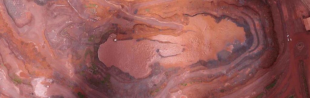
Orthorectification is a critical step in the Geographic Information Systems (GIS) domain that guarantees the precision and dependability of spatial data. This advanced method is essential for correcting distortions brought about by sensor characteristics and terrain relief, which in turn helps with accurate mapping and analysis. We will examine the importance, methods, and uses of orthorectification in the GIS sector as we delve into this complex field in this post. In the processing of GIS data, orthorectification is an essential step, especially when working with remotely sensed imagery. Geometric distortions caused by the curvature of the Earth, topography relief, and sensor alignment must be corrected during the procedure. To accurately perform spatial analysis, the picture must be converted from a perspective projection to an orthographic projection, aligned with a reference surface, and free of distortions.
Important Issues that Orthorectification Addresses
Relief Distortions in Terrain: The effect that terrain relief has on photography is one of the main issues that orthorectification attempts to solve. Significant geometric distortions in remotely sensed data can be caused by changes in elevation. By removing these distortions, orthorectification guarantees that the image faithfully captures the surface of the Earth.
Features of the Sensor: Geometric distortions result from sensors on satellites and aerial platforms capturing imagery from particular angles and heights. To create precise, planimetrically correct images, orthorectification corrects the distortions caused by various sensor properties, such as off-nadir viewing angles.
Methodologies for Orthorectification
The orthorectification process uses several approaches, each designed to handle certain difficulties. The desired level of precision, sensor qualities, and available data all play a role in the method selection. Several often employed methods of orthorectification include:
Extensive Sensor Models: Strict sensor models make use of specific data regarding the properties of the sensor, such as sensor orientation, focal length, and lens distortion. By using mathematical descriptions of the imaging process, these models enable accurate geometric rectification.
DEMs, or digital elevation models: Because they provide the terrain’s elevation, DEMs are essential to orthorectification. Orthorectification produces more accurate georeferencing by taking into account variations in terrain elevation by integrating DEM data into the correcting process.
Ground Control Points (GCPs): These are well-defined locations on Earth’s surface with known coordinates. Through the identification of related points in the imagery, orthorectification algorithms correct the picture to match the placements of these GCPs, consequently increasing accuracy.
Uses for Orthorectification
Precision Agriculture: Precision agriculture makes extensive use of orthorectified imagery for resource management, production prediction, and crop monitoring. Farmers may make well-informed decisions about pest management, fertilizer, and irrigation with the use of accurate spatial information.
Environmental Surveillance: An orthorectification is a useful tool in environmental research because it may be used to track changes in land cover, evaluate deforestation, and analyze the effects of natural disasters. Precise geographical information is essential for comprehending and alleviating environmental issues.
Urban Planning and Infrastructure Development: Accurate mapping of transportation networks, infrastructure, and land use is made possible by orthorectified imagery, which is invaluable in urban planning. Policymakers and municipal planners need this information to make well-informed decisions regarding development initiatives.
Disaster Management and Reaction: When natural catastrophes like earthquakes or floods occur, orthorectified imagery helps with damage assessment and resource allocation quickly. To organize and carry out efficient disaster response plans, emergency responders depend on precise spatial data.
Orthorectification Services for Geospatial Data:
Orthorectification arises as a key component of correct spatial data processing in the dynamic area of GIS. Orthorectification guarantees that remotely sensed imagery matches with real-world coordinates by correcting issues related to terrain relief, sensor characteristics, and other distortions. This allows for more accurate mapping and analysis. Orthorectification techniques will develop along with technology, improving the accuracy and usefulness of spatial data in a variety of businesses. It is impossible to overestimate how orthorectification has shaped our knowledge of the Earth’s surface in a world where geospatial information is becoming more and more important.


