The agricultural industry has experienced a technological revolution in recent years adopting creative solutions to boost productivity and efficiency where the use of drones in precision farming stands out among these innovations as a game-changer. With their state-of-the-art Geographic Information System (GIS) technology, these unmanned aerial vehicles have completely changed how farmers handle their crops.
Fixed-Wing Drones: Fixed-wing drones are a prominent choice for large-scale agricultural operations due to their ability to cover vast areas efficiently and unlike their rotary-wing counterparts, fixed-wing drones resemble traditional airplanes and are designed for long-endurance flights. Equipped with advanced GIS sensors, these drones capture high-resolution imagery enabling farmers to gather detailed spatial data about their fields.
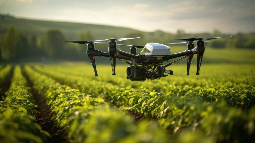
Rotary-Wing Drones: Rotary-wing drones, commonly known as quadcopters or hexacopters are characterized by their vertical take-off and landing capabilities where these drones are versatile and well-suited for smaller farms or areas with irregular terrain providing farmers with a closer and more detailed view of their crops.
Hybrid Drones: Hybrid drones combine the advantages of both fixed-wing and rotary-wing models where these UAVs are capable of vertical take-off and landing while also possessing the efficiency and endurance of fixed-wing counterparts. Hybrid drones are particularly valuable for large-scale farms with diverse topography.
VTOL (Vertical Take-Off and Landing) Drones: VTOL drones are designed to take off and land vertically, similar to rotary-wing drones, but transition to fixed-wing flight for efficient cruising over larger areas. This dual functionality makes VTOL drones particularly effective in scenarios where both agility and endurance are essential.
Role of GIS in Agricultural Drone Technology
Remote Sensing: GIS-enabled drones leverage remote sensing technologies to capture data through various sensors such as RGB and multispectral cameras, thermal imaging and LiDAR where these sensors collect information on crop health, soil moisture and topography enabling the creation of detailed maps for informed decision-making.
Spatial Analysis: GIS facilitates spatial analysis by processing and interpreting the data collected by drones where this analysis involves mapping and monitoring crop conditions, identifying areas of stress or disease and assessing the overall health of the agricultural landscape. Spatial analysis helps farmers make targeted interventions optimizing resource allocation and improving yield.
Precision Agriculture: The integration of GIS and drone technology enables precision agriculture practices and by precisely mapping variations in soil composition, moisture levels and crop health, farmers can implement site-specific management strategies. This targeted approach minimizes input wastage, reduces environmental impact and enhances overall agricultural efficiency.
Data Visualization: GIS technology enables the visualization of drone-generated data in the form of maps, charts and 3D models where this visual representation enhances the interpretation of complex agricultural information allowing farmers to easily identify patterns, trends and potential areas for improvement.
Agriculture has been transformed by the incorporation of several drone models with Geographic Information System (GIS) technology offering farmers potent instruments for optimizing resources, making informed decisions and engaging in precision farming. A wide range of drones including hybrid, VTOL, fixed-wing and rotary-wing models are available to meet various agricultural requirements and terrains. The combination of GIS and agricultural drones will become more and more important as technology develops to ensure sustainable and productive farming methods. As these advancements continue to strengthen the agriculture sector and usher in a new era of environmental stewardship and productivity, there are a lot of exciting possibilities ahead.


