Aerial photogrammetry is a basic method for gathering and interpreting spatial data and by using aerial imagery to gather geospatial data, this technique makes precise mapping, surveying and analysis possible. From infrastructure construction and catastrophe management to urban planning and environmental monitoring, aerial photogrammetry is essential to many different industries. Different aerial photogrammetry techniques are used in the GIS field each with a distinct set of criteria and applications in mind.
Traditional Photogrammetry: Modern approaches have been developed from the basis of traditional or analog photogrammetry and by utilizing overlapping pairs of aerial pictures, this technique builds a three-dimensional model of the terrain based on the concepts of stereoscopic vision. To improve accuracy, ground control points (GCPs) are set up where precise measurements and mathematical calculations are used to calculate elevation, distances and angles. Traditional photogrammetry is still used for some applications even with the introduction of digital technologies particularly where historical data is involved.
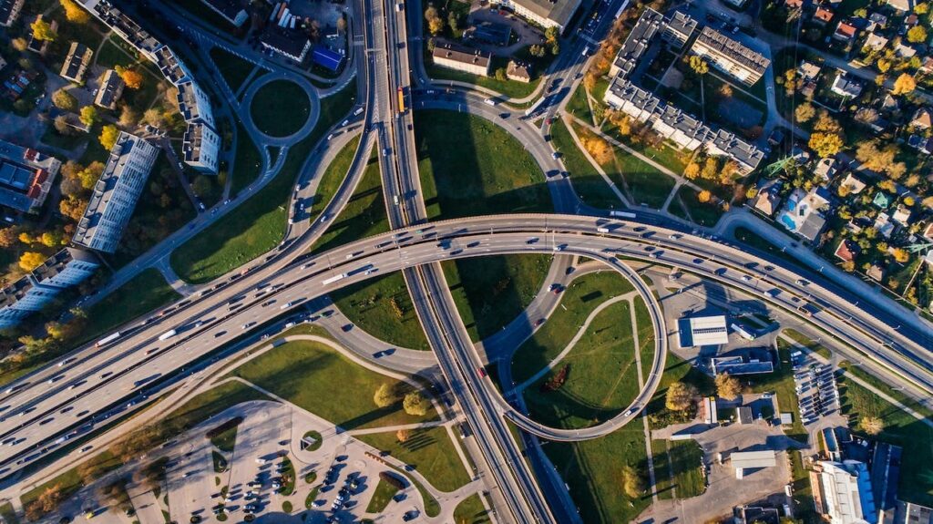
Digital Photogrammetry: With the advent of digital technology, conventional techniques were replaced with digital photogrammetry which is a more effective and adaptable strategy. Digital cameras and other sensors installed on aerial platforms such as drones or airplanes are used in digital photogrammetry and after the photos are taken, sophisticated software is used to process them and produce precise and comprehensive geographical models. This method is essential to contemporary GIS applications because it provides faster data processing, improved precision and the capacity to work with big datasets.
Close-Range Photogrammetry: This type of photogrammetry aims to collect high-resolution images in constrained spaces where applications like forensics, infrastructure inspection and archaeology can all benefit from this technique. Close-range photogrammetry uses short focal length cameras and exact camera placements to create detailed, accurate and high-resolution 3D models that are appropriate for complex analyses and measurements.
Oblique Photogrammetry: This type of photogrammetry uses an angle instead of a direct above view to capture photos and in urban planning where vertical imaging might not give a complete view of buildings and structures, this technique is useful. Analysts can obtain extensive information on building facades, heights and other factors that are essential for urban modeling and planning by obtaining oblique images.
Multi-Spectral Photogrammetry: By gathering information throughout a range of spectral bands, multi-spectral photogrammetry expands the potential of conventional images where land cover classification, agriculture and environmental monitoring all benefit greatly from this technique. Multi-spectral photography analyzes numerous light wavelengths to offer insights into the health of vegetation, the composition of soil and changes in the environment. This information can help inform decision-making across a range of industries.
Photogrammetry in Surveying
In the field of Geographic Information Systems, photogrammetry is a cutting-edge method for surveying that uses accurate imaging and computational analysis to extract spatial information from images. This technique uses high-resolution satellite or aerial photos to produce detailed 3D models of the Earth’s surface revolutionizing conventional surveying methods in the process.
Photogrammetry gives surveyors precise measurements, elevations and locations of objects and terrain by using stereoscopic vision and trigonometric computations. Ground control points which anchor the model to actual coordinates and tie points which define connections between overlapping images are essential steps in this procedure.
Photogrammetry is a critical tool used by the GIS sector for environmental monitoring, land-use planning and mapping and this method gives unmatched precision in addition to being economical and efficient making it an indispensable tool for infrastructure development and resource management.
The variety of aerial photogrammetry methods used in the GIS sector demonstrates the field’s adaptability and inventiveness where every technique starting from cutting-edge technology like LiDAR and multi-spectral photography to conventional analog approaches has a distinct function and adds to the reliability of geospatial data collection and processing. The combination of these photogrammetric techniques with new technologies promises to change the field of spatial data intelligence and offer planners and decision-makers useful insights as GIS applications spread throughout different industries.


