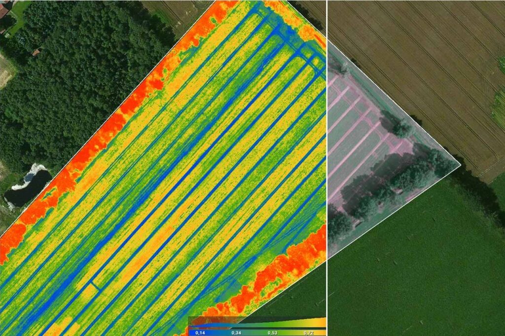
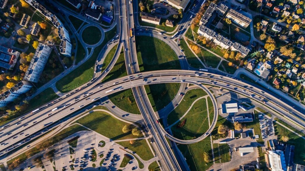
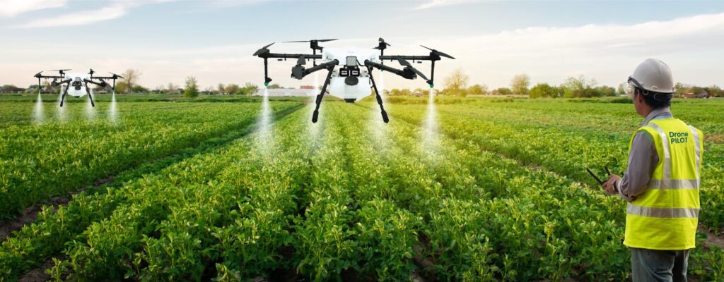
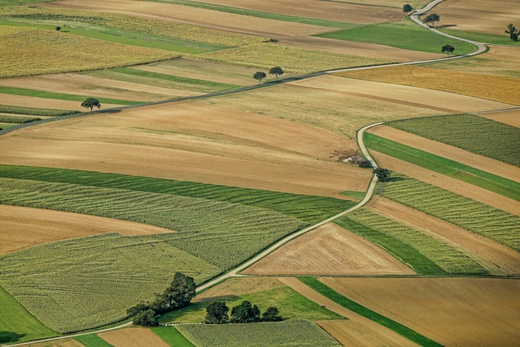
satpalda

Agriculture Mapping

Farmers have always been at the forefront of technological innovation in agriculture, looking for new and creative ways to maximize crop yields, reduce their environmental impact and guarantee food security. Geographic Information Systems is a ground-breaking technology that has completely changed the agricultural environment where farmers and agricultural professionals may analyze data, make decisions and …

Agriculture Mapping Read More »

Drone Agriculture Mapping

Using Unmanned Aerial Vehicles (UAVs) or drones to map agricultural landscapes and gather spatial data, drone agriculture mapping entails taking high-resolution aerial photos. Many sensors such as multispectral, hyperspectral and LiDAR (Light Detection and Ranging) sensors which collect data outside of the visible spectrum are installed on these drones. Drones gather enormous volumes of georeferenced …

Drone Agriculture Mapping Read More »

Stereo Imagery

GIS is now an essential tool for contemporary mapping and spatial analysis where stereo imagery is one GIS tool that sticks out for its unmatched precision in providing three-dimensional insights. Using sophisticated stereoscopy techniques, spatial information can be extracted leading to a more thorough understanding of the Earth’s surface. Process of Stereo Imagery Acquisition The …

Stereo Imagery Read More »

KOMPSAT-3A Satellite Sensor

When it comes to obtaining high-resolution pictures for a variety of uses including disaster management, environmental monitoring and urban planning, satellite technology is essential. The KOMPSAT-3A satellite is one of the state-of-the-art satellites that is fueling this technological revolution. KOMPSAT-3A which was launched by the Korea Aerospace Research Institute (KARI) is a prime example of …

KOMPSAT-3A Satellite Sensor Read More »

Types of Drones in Agriculture

The agricultural industry has experienced a technological revolution in recent years adopting creative solutions to boost productivity and efficiency where the use of drones in precision farming stands out among these innovations as a game-changer. With their state-of-the-art Geographic Information System (GIS) technology, these unmanned aerial vehicles have completely changed how farmers handle their crops. …

Types of Drones in Agriculture Read More »

Types of Aerial Photogrammetry

Aerial photogrammetry is a basic method for gathering and interpreting spatial data and by using aerial imagery to gather geospatial data, this technique makes precise mapping, surveying and analysis possible. From infrastructure construction and catastrophe management to urban planning and environmental monitoring, aerial photogrammetry is essential to many different industries. Different aerial photogrammetry techniques are …

Types of Aerial Photogrammetry Read More »

Drones in Agriculture

With the introduction of innovative technologies, the agricultural landscape has undergone a dramatic transition in recent years and the use of drones in agriculture is one such innovation that has become rather popular. Precision agriculture has been ushered in by unmanned aerial vehicles (UAVs) which have changed traditional farming operations with their advanced sensors and …

Drones in Agriculture Read More »

What Is Photogrammetry?

The concepts of triangulation and stereoscopy are the foundation of photogrammetry where triangulation entails calculating the angles created by the point being observed, another point with known coordinates and a camera. Contrarily, stereoscopy uses minute variations in perspective between two photos taken from various angles to produce the illusion of three dimensions. What is Photogrammetry? …

What Is Photogrammetry? Read More »