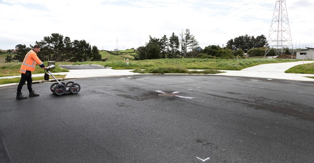
A geophysical technique called ground penetrating radar survey (GPR Survey) uses electromagnetic waves to image and assess underlying objects where the system is made up of a receiver antenna that captures the reflections or echoes from various subsurface materials and a transmitter antenna that sends radiofrequency pulses into the earth. GIS experts can produce intricate representations of the subsurface by examining these reflections; these images can provide important information about the makeup of the soil, hidden structures and geological formations.
Key Components:
Antennas: Ground-coupled and air-coupled antennas are the two types of antennas used in GPR systems and while ground-coupled antennas go deeper into the subsurface, air-coupled antennas are best suited for shallow applications. The goals of the survey and the necessary level of research will determine which antenna to use.
Frequency: GPR systems function at several frequencies each of which has special benefits and while lower frequencies offer poorer resolution but penetrate deeper, higher frequencies offer higher resolution for shallower depths. Based on the particular requirements of the survey, GIS specialists choose the right frequency.
Survey Configuration: Antenna layout and scanning pattern are two important aspects of the survey setup that affect the quality of GPR data where line scans, 3D grids and 2D profiles are typical setups. The choice is dependent on the desired level of detail and the nature of the subsurface.
Applications of Ground Penetrating Radar (GPR)
Archaeological Studies: GPR has shown to be a vital instrument in archeological research and through the discovery of buried buildings, relics and prehistoric topography, archaeologists can reconstruct historical sites with astounding accuracy. Because GPR is non-invasive, there is less chance that priceless artifacts may be harmed during excavation.
Civil Engineering and Infrastructure Assessment: GPR is used in the civil engineering profession for evaluating infrastructure such as buildings, bridges and highways and thanks to the technology’s ability to detect subsurface anomalies like voids, fissures or decaying materials, engineers may take action before such problems get worse.
Environmental Studies: GPR plays a key role in environmental studies, especially when it comes to identifying contaminants and mapping subsurface soil layers where effective environmental management is aided by the technology’s ability to identify groundwater flow patterns, define aquifers and monitor soil moisture content.
Utility Mapping: Precise mapping of subterranean utilities is essential for building and urban planning initiatives and by using GPR to find pipelines, cables and other subsurface infrastructure, excavation activities can be conducted with a lower chance of unintentional damage. This application improves construction and utility maintenance projects’ safety and efficiency.
Future Developments and Trends
Integration with GIS Platforms: GPR data is becoming more easily integrated with GIS platforms and with the ability to overlay GPR results on pre-existing geospatial datasets, GIS specialists can offer a thorough understanding of both surface and subsurface data. A geographic area’s entire understanding is improved by this integration.
Developments in Data Processing: To increase the speed and precision of GPR interpretation, current research is concentrated on creating sophisticated data processing algorithms and to decrease the amount of manual labor needed for data analysis, machine learning and artificial intelligence approaches are being used to automate the detection of subsurface features.
Miniaturization and Portability: As hardware design advances, more compact and portable GPR systems are being created which allows for greater flexibility in surveying challenging terrains and confined spaces, expanding the range of applications for GPR technology.
Ground Penetrating Radar Survey has become a highly valuable tool since it provides a productive and non-destructive way to explore the subsurface where the combination of GPR with GIS platforms and improved data processing methods are set to substantially expand the capabilities of this potent instrument as technology develops. With applications in utility mapping, environmental research, civil engineering and archaeology, GPR is leading the way in uncovering the mysteries lying beneath our feet and opening the door to a more sustainable and knowledgeable future for the GIS sector.


