Aerial photogrammetry is a process that involves the collection and interpretation of spatial data from aerial photographs where these photographs often captured by remote sensing devices mounted on aircraft or unmanned aerial vehicles (UAVs) serve as the foundation for generating accurate and detailed spatial models. The key to the success of aerial photogrammetry lies in the intricate interplay of geometry, mathematics and advanced software solutions.
Work-Flow
Image Acquisition: The process begins with the acquisition of high-resolution aerial imagery which can be obtained through various platforms including traditional piloted aircraft or modern UAVs equipped with remote sensing devices like cameras and LiDAR sensors.
Ground Control Points (GCPs) Establishment: To ensure accuracy, a network of ground control points is established on the Earth’s surface where these points whose precise coordinates are known, serve as reference markers for subsequent calculations during the photogrammetric process.
Aerial Triangulation: Aerial triangulation involves determining the exterior orientation parameters of the images including the position and orientation of the camera at the time of capture where this process is crucial for establishing a spatial relationship between the images.
Image Matching and Dense Point Cloud Generation: Modern photogrammetric software utilizes advanced algorithms to match common features in overlapping images creating a dense point cloud where this point cloud represents the 3D coordinates of the terrain and objects in the images.
Digital Surface Model (DSM) and Digital Terrain Model (DTM) Generation: The point cloud is further processed to generate a Digital Surface Model (DSM) representing the Earth’s surface and all objects on it and by subtracting the terrain elevation, a Digital Terrain Model (DTM) is derived providing a detailed representation of the bare Earth.
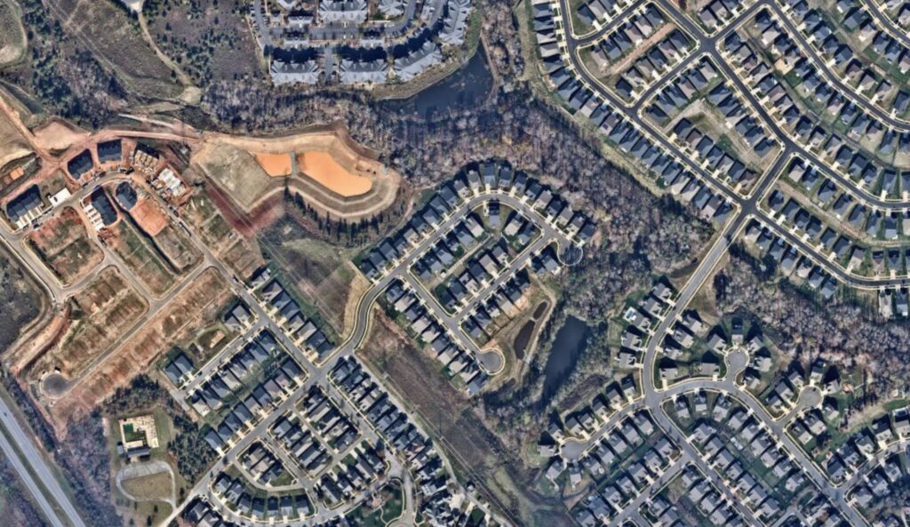
Orthophoto Generation: Orthophotos are geometrically corrected images that eliminate distortions caused by terrain variations and camera angles where these orthophotos serve as accurate and visually consistent maps.
Applications of Aerial Photogrammetry
Urban Planning and Development: Aerial photogrammetry plays a pivotal role in urban planning by providing precise spatial information for land use analysis, infrastructure planning and environmental impact assessments.
Environmental Monitoring: Monitoring and managing natural resources such as forests, water bodies and ecosystems benefit from aerial photogrammetry’s ability to capture detailed and accurate data over large areas.
Disaster Management: During natural disasters or emergencies, aerial photogrammetry aids in rapid damage assessment, resource allocation and disaster response planning through the creation of up-to-date and detailed maps.
Precision Agriculture: Agriculture benefits from the precision of aerial photogrammetry for crop monitoring, yield prediction and resource management where the technology assists farmers in optimizing their practices and increasing productivity.
Infrastructure and Engineering: Aerial photogrammetry supports the design, construction and maintenance of infrastructure projects by providing detailed information on terrain, topography and existing structures.
Aerial photogrammetry stands as a testament to the evolution of spatial data acquisition techniques within the GIS industry where its ability to transform high-resolution aerial imagery into precise and actionable spatial information has positioned it as an invaluable tool across various sectors. As technology continues to advance, the future of aerial photogrammetry holds promises of increased automation, integration with emerging technologies and expanded applications, further solidifying its role in shaping the landscape of GIS and spatial analysis.


