- All Blogs
- Back
The process of producing precise and in-depth spatial representations of railroad infrastructure and its surroundings is known as “railway corridor mapping. To create detailed maps and…
What is a digital elevation model (DEM)? A Digital Elevation Model (DEM) is a representation of the bare ground (bare earth) topographic surface of the Earth excluding…

Technological developments in the field of Geographic Information Systems (GIS) are always pushing the frontiers of investigation and analysis. Ground Penetrating Radar (GPR) is one such…
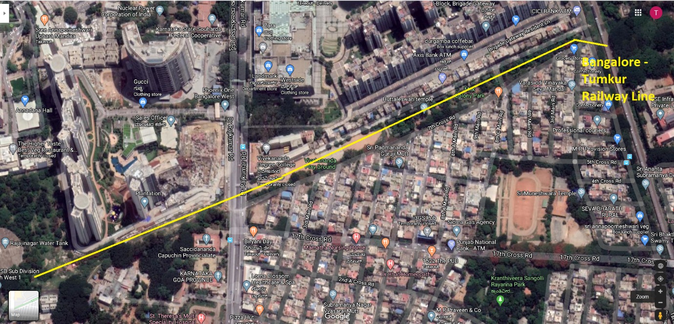
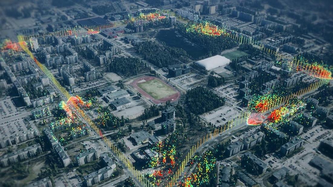
Within the field of Geographic Information Systems (GIS), encroachment management and detection have emerged as critical responsibilities for land administration, infrastructure development, and urban planning. Maintaining…
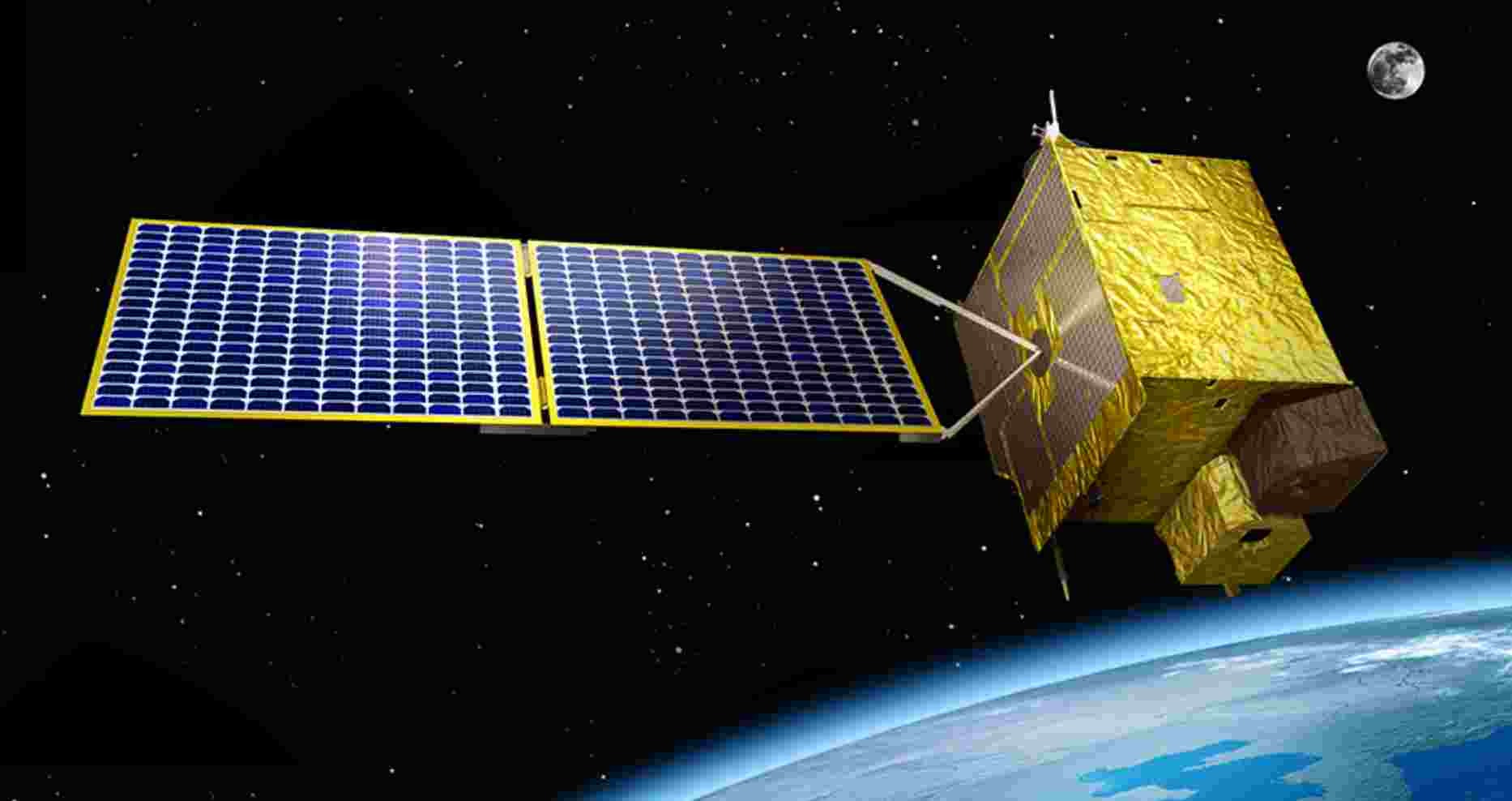
Geospatial technology has become a potent tool in the quickly changing technological landscape, revolutionizing our understanding of and interactions with our surroundings. The development and use…
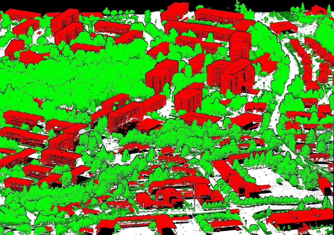
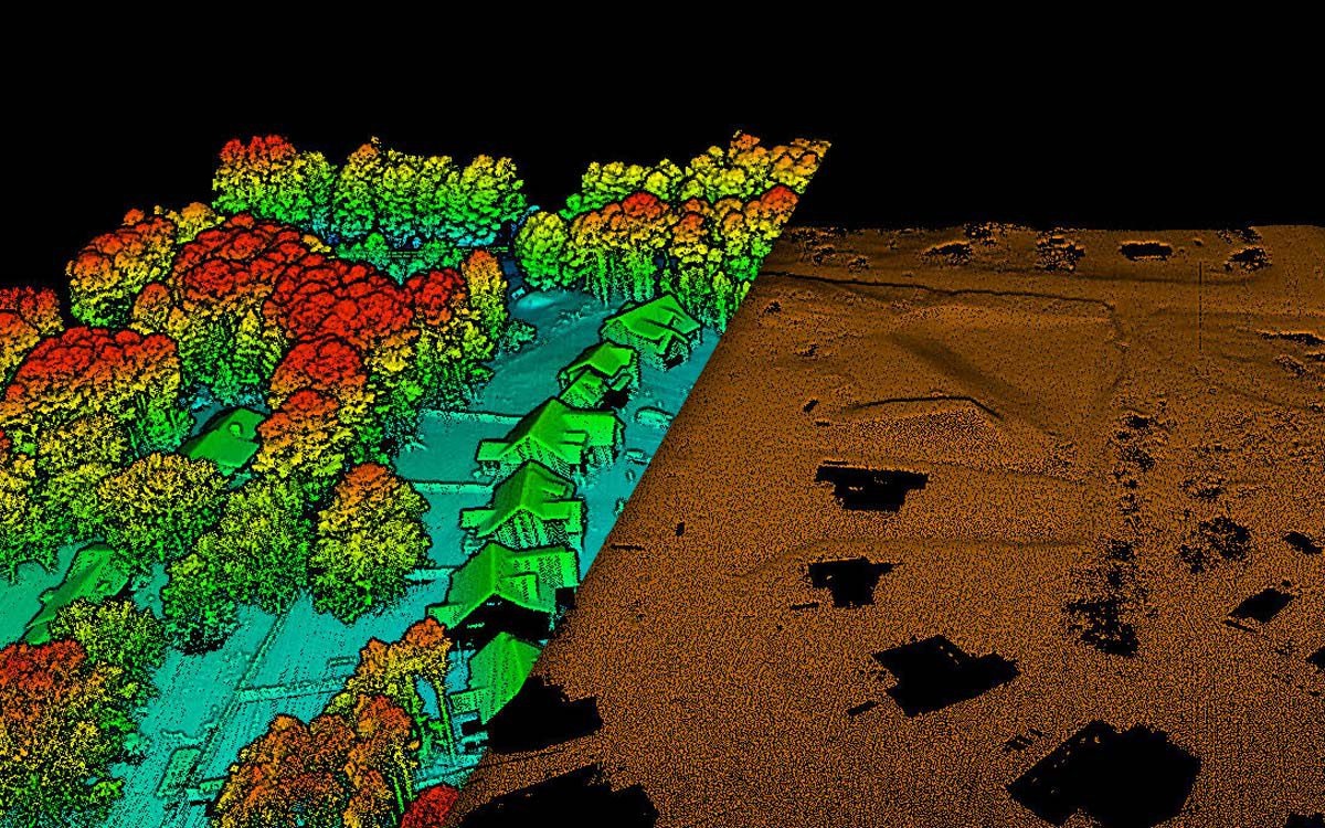
What is LiDAR in GIS? GIS has seen a revolution in technology with the emergence of LiDAR, or Light Detection and Ranging. LiDAR, which uses laser…
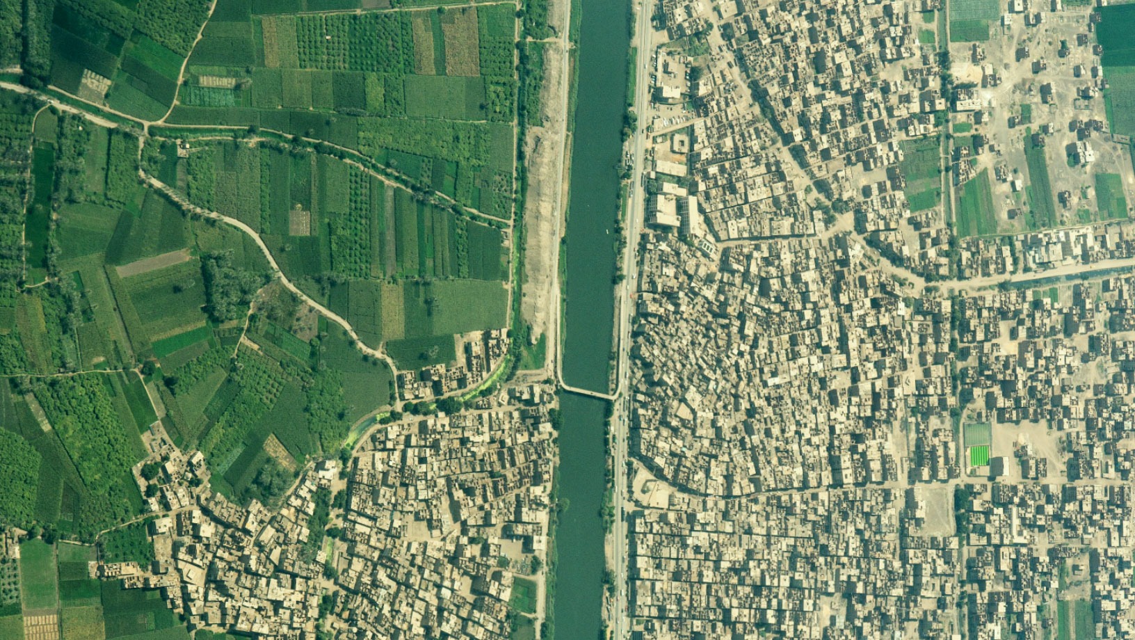
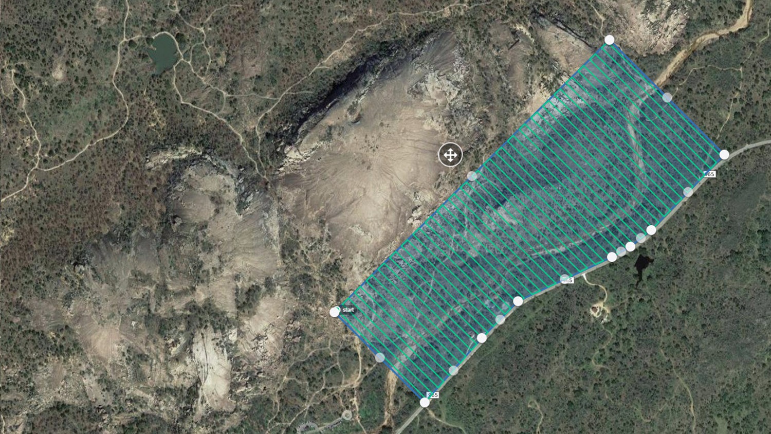
Orthorectification is a critical step in the Geographic Information Systems (GIS) domain that guarantees the precision and dependability of spatial data. This advanced method is essential…
Accuracy and precision are critical in the ever-changing field of Geographic Information Systems (GIS). To guarantee the accuracy of geographical data, GIS specialists employ various methods;…