Superview Satellite Imagery
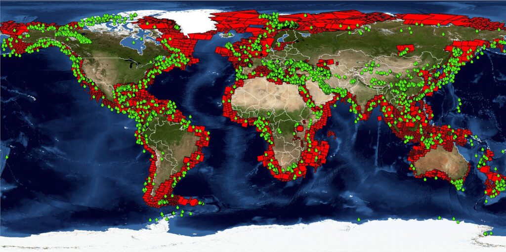
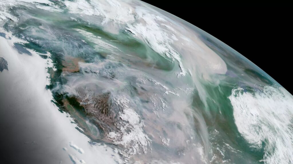
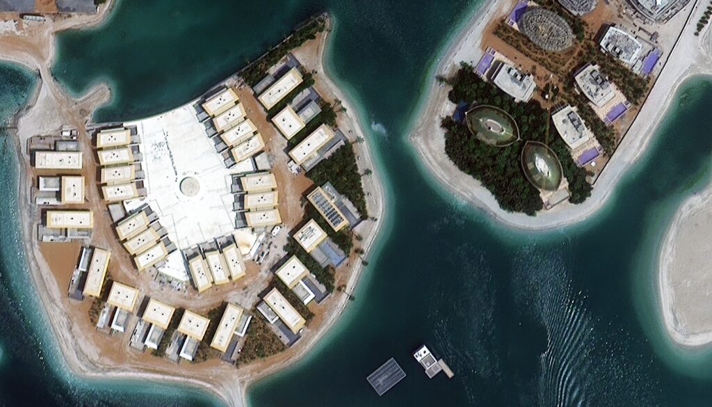
The collection of high-resolution satellite images from the SuperView constellation which is mostly made up of the GF 1, GF 2, and GF 4 satellites is referred to as SuperView imagery and these satellites have sophisticated imaging systems and sensors that can gather precise and in-depth geospatial data. Because of its exceptional spatial resolution, SuperView imagery is well known for allowing users to see even the smallest details on the surface of the Earth. When it comes to supplying useful geographical data for a variety of applications, satellite imagery is essential where the introduction of SuperView Imagery, a state-of-the-art technique that makes use of high-resolution satellite platforms like GF 1, GF 2 and GF 4 is one noteworthy development in this field. GF 1 Satellite: A Pioneer in SuperView Constellation The GF 1 satellite, part of the SuperView constellation, is a trailblazer in providing high-resolution Earth observation data. Launched by the China National Space Administration (CNSA), GF 1 is equipped with multiple sensors including an optical camera with panchromatic and multispectral capabilities and with a spatial resolution as fine as 0.8 meters, GF 1 can capture detailed imagery suitable for applications such as urban planning, agriculture monitoring and disaster management. GF 2 Satellite: Advancing Spatial Resolution and Coverage Building upon the success of GF 1, the GF 2 satellite represents a significant leap forward in terms of spatial resolution and coverage. Launched to enhance Earth observation capabilities, GF 2 boasts a spatial resolution of 0.5 meters in panchromatic mode and 2 meters in a multispectral mode where this improved resolution allows for more precise mapping, environmental monitoring and infrastructure development assessments. GF 4 Satellite: Pushing Boundaries with Enhanced Capabilities The GF 4 satellite, the latest addition to the SuperView constellation, takes the capabilities of SuperView Imagery to new heights. Equipped with state-of-the-art sensors including an even more powerful optical camera, GF 4 achieves a remarkable spatial resolution of 0.5 meters in panchromatic mode and 2 meters in multispectral mode where the enhanced capabilities of GF 4 make it a valuable asset for applications demanding unparalleled image clarity such as military reconnaissance, disaster response and environmental studies. Applications of SuperView Imagery Urban Planning and Development: The high spatial resolution of SuperView Imagery, especially from GF 2 and GF 4, facilitates detailed mapping of urban areas where urban planners can utilize this data for land-use classification, infrastructure assessment and monitoring of construction activities. Agriculture Monitoring: Precision agriculture relies heavily on accurate and timely information where SuperView Imagery aids in monitoring crop health, identifying irrigation issues and assessing overall agricultural productivity. The detailed imagery allows for the detection of subtle changes in vegetation health. Environmental Monitoring: GF 4’s enhanced capabilities make it particularly valuable for environmental studies where researchers can analyze vegetation cover, land use changes and deforestation with unprecedented detail. This information is crucial for understanding and mitigating the impact of human activities on the environment. Disaster Management: Rapid and accurate response to natural disasters is crucial for minimizing damage and saving lives where SuperView Imagery aids in disaster management by providing real-time information on affected areas enabling authorities to plan and execute effective relief efforts. Military and Defense Applications: The high-resolution imagery from SuperView satellites, especially GF 4, is of great significance in military and defense applications and it enables detailed reconnaissance, identification of strategic targets and monitoring of activities in sensitive areas. Technical Nuances of SuperView Imagery Spectral Bands: SuperView satellites including GF 1, GF 2, and GF 4, capture imagery in various spectral bands where these bands range from visible light to infrared allowing for a comprehensive analysis of the Earth’s surface. Multispectral and hyperspectral data enable advanced applications such as vegetation health assessment and mineral identification. Resolution: Spatial resolution is a critical factor in satellite imagery determining the level of detail that can be captured where the panchromatic mode of GF 2 and GF 4, with a spatial resolution of 0.5 meters, enables the detection of small objects and features on the ground. This level of detail is invaluable in applications where precision is paramount. Revisit Time: The revisit time of SuperView satellites is a measure of how frequently a satellite passes over the same area where shorter revisit times, facilitated by the SuperView constellation, ensure more frequent updates of imagery for dynamic applications such as monitoring urban growth or tracking changes in vegetation. Data Fusion: SuperView Imagery often involves the fusion of data from multiple sensors and spectral bands where data fusion enhances the overall quality of the imagery and allows for a more comprehensive analysis by combining the strengths of different sensors. SuperView Imagery, powered by the GF 1, GF 2, and GF 4 satellites represents a pinnacle in the field of Earth observation. The high spatial resolution, advanced sensors and enhanced capabilities of these satellites open up new possibilities for GIS applications across various industries and starting from urban planning and agriculture monitoring to disaster management and military reconnaissance, SuperView Imagery continues to redefine the standards of geospatial information. As technology advances and satellite capabilities evolve, the synergy between SuperView Imagery and GIS is poised to play a pivotal role in shaping our understanding of the dynamic Earth.
Superview Satellite Imagery Read More »