The term “remote sensing” describes the process of gathering information about a thing or phenomenon from a distance usually using satellites or aircraft sensors where the GIS sector uses remote sensing technologies to gather important data on the Earth’s oceans, atmosphere and surface. Many industries including agriculture, urban planning, disaster management, environmental monitoring and natural resource assessment have been transformed by the combination of remote sensing and GIS. In recent years, remote sensing, a crucial part of the Geographic Information System (GIS) industry has experienced unheard-of expansion and technological advancement. This process explores the complexities of remote sensing emphasizing its importance, uses and the cutting-edge technology that is advancing the field. This thorough investigation which includes satellite images and LiDAR (Light Detection and Ranging) seeks to give a thorough grasp of the present situation and potential future applications of remote sensing in the GIS sector.
Fundamentals of Remote Sensing:
Electromagnetic Spectrum: The electromagnetic spectrum which includes a wide range of wavelengths is used in remote sensing. Different sensors can extract different types of information since they are made to catch different parts of the spectrum and in remote sensing applications, the visible, infrared, and microwave areas are often used.
Platforms and Sensors: Satellites, airplanes, unmanned aerial vehicles and ground-based sensors are examples of remote sensing platforms. These platforms are fitted with a range of sensors including radar sensors to penetrate clouds and vegetation, optical sensors to record visible and infrared light and thermal sensors to measure heat.
Types of Remote Sensing:
Passive Remote Sensing: These devices pick up natural radiation that the Earth’s surface emits or reflects. Examples are thermal infrared sensors which detect heat emissions and optical sensors which record sunlight reflected by objects.
Active Remote Sensing: In active remote sensing, sensors release their energy and detect the signals that come back where LiDAR and radar are two well-known examples. LiDAR uses laser beams to measure distances with extreme precision whereas radar systems use radio waves to cut through clouds and foliage.
Satellite Remote sensing
Types of Satellites: Satellites are essential in remote sensing. There are three types of earth observation satellites: radar, thermal and optical. High-resolution photographs in the visible and infrared spectrum are captured by optical satellites such as those in the Landsat series. Thermal satellites measure infrared radiation for temperature analysis. Examples of these satellites are the MODIS (Moderate Resolution Imaging Spectroradiometer) series. Radar satellites that provide all-weather imaging may penetrate clouds such as those in the Sentinel-1 series.
Resolution and Spectral Bands: Radiometric, temporal, spectral and geographic resolutions are attributes of satellite images. Whereas spectral resolution shows the quantity and width of spectral bands, spatial resolution describes the amount of detail that is caught in an image and temporal resolution indicates how often a satellite returns to a given position whereas radiometric resolution measures the sensor’s capacity to discern between various brightness levels.
LiDAR Technology
Principles of LiDAR: LiDAR is a type of remote sensing technology that uses laser light to detect distances where the system determines how long it will take the laser pulse to be released to reach its target and back using the time-of-flight principle. Because LiDAR can provide extremely accurate three-dimensional point clouds, it is a vital tool for forestry, urban planning, infrastructure construction and terrain modeling.
Applications of LiDAR: LiDAR is widely used for modeling floodplains, topographic mapping, classifying land cover and tracking urban growth and it helps in the estimation of biomass and tree density in forestry. LiDAR is also necessary for autonomous cars’ real-time obstacle detection and navigation.
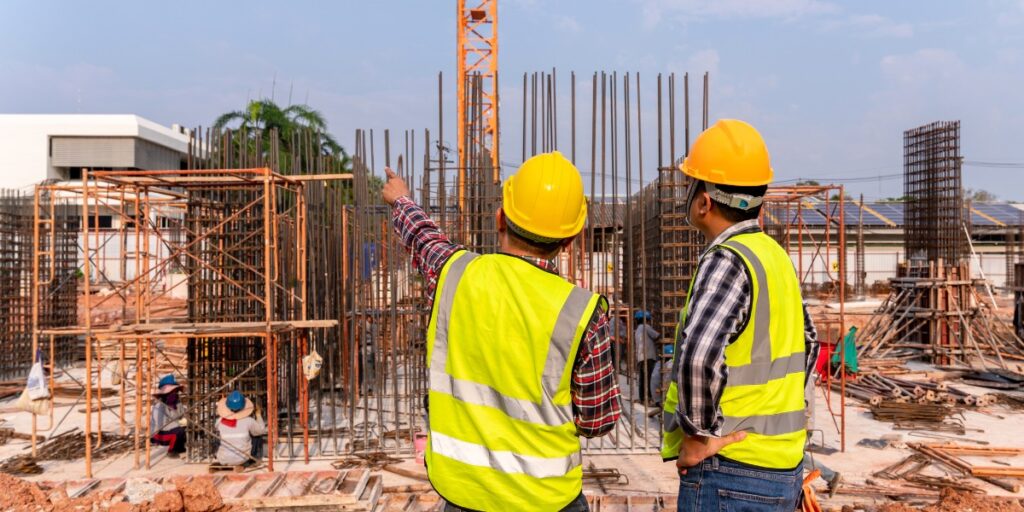
Application of Remote Sensing in Civil Engineering
Infrastructure Supervision and Management: An essential part of managing and keeping an eye on current infrastructure is remote sensing. Afraid surveys and satellite images offer an affordable way to keep an eye on infrastructure assets like roads, bridges and dams frequently. The early discovery of structural abnormalities, subsidence and other possible problems is facilitated by this ongoing monitoring. Furthermore, engineers can design comprehensive asset management systems thanks to the integration of remote sensing data into GIS platforms and by making it easier to track infrastructure conditions effectively, these solutions lower the chance of catastrophic breakdowns and enable prompt maintenance.
Development and Urban Planning: Urban area management and planning are challenged by the world’s fast urbanization. Technologies for remote sensing provide vital information on land usage, population density and infrastructure distribution which helps with urban planning and development. LiDAR data and high-resolution satellite photography help urban planners analyze existing urban structures, find development sites that make sense and allocate resources as efficiently as possible. GIS platforms facilitate comprehensive urban planning methods by combining several layers of geographical data, hence improving the decision-making process.
Surveying and Mapping: Mapping and surveying are two of the main uses of remote sensing in civil engineering where the conventional surveying techniques can be labor- and time-intensive, particularly in the case of huge and difficult-to-reach terrain. The method of surveying has been completely transformed by remote sensing technology such as satellite photography and LiDAR (Light Detection and Ranging). With the use of high-resolution, current maps provided by satellite photography, engineers may evaluate topography, land cover and land use and thanks to its laser scanning capabilities, LiDAR produces intricate three-dimensional maps that provide important information about surface features and terrain elevation. By streamlining the surveying procedure, these technologies enable precise data collection for planning and designing building projects.
Advanced Technologies for Remote Sensing:
Hyperspectral imaging: By gathering information from hundreds of small spectral bands, hyperspectral sensors can provide precise details on an object’s makeup where environmental monitoring, mineral prospecting and precision agriculture are some of the fields in which this technology is used.
Artificial Intelligence and Machine Learning: Large-scale remote sensing data analysis is increasingly using machine learning algorithms such as neural networks and the efficiency of data interpretation is greatly increased by these techniques which allow for automatic feature extraction, categorization and pattern identification.
Leading the way in technological innovation, remote sensing is bringing about significant changes in the GIS sector. Understanding and controlling our dynamic globe has never been easier thanks to the combination of remote sensing and GIS and from satellite-based views to LiDAR’s high-precision measurements, the possibilities are endless. The integration of cutting-edge technology such as artificial intelligence and hyperspectral imaging, promises to transform remote sensing and open up new avenues for research, analysis and sustainable development as developments continue. The GIS industry’s use of remote sensing in the future will be crucial to solving the intricate problems that lie ahead and gaining a greater understanding of our planet.


