KOMPSAT-3A Satellite Sensor
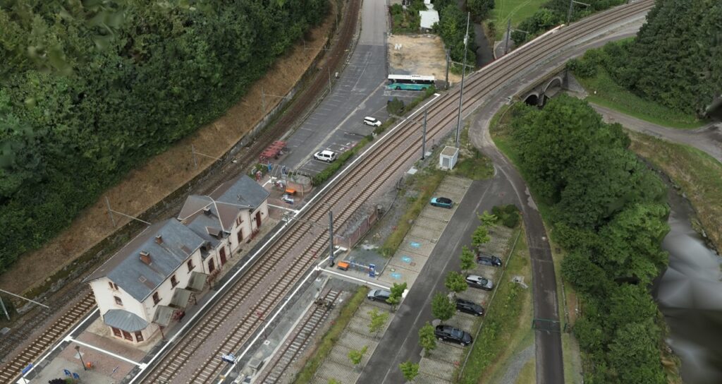
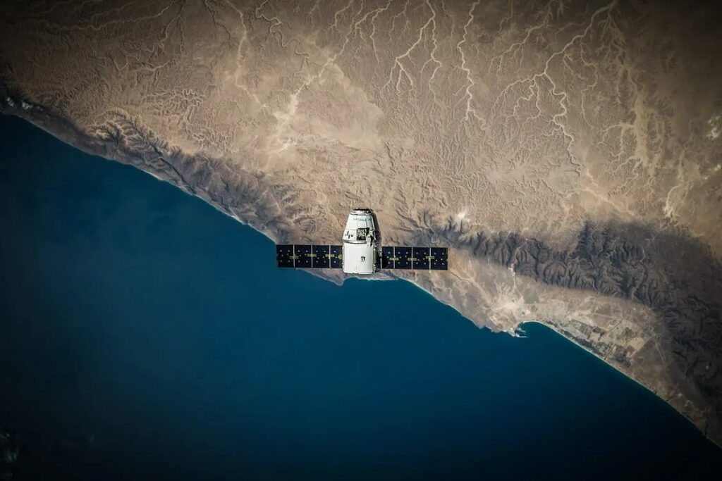
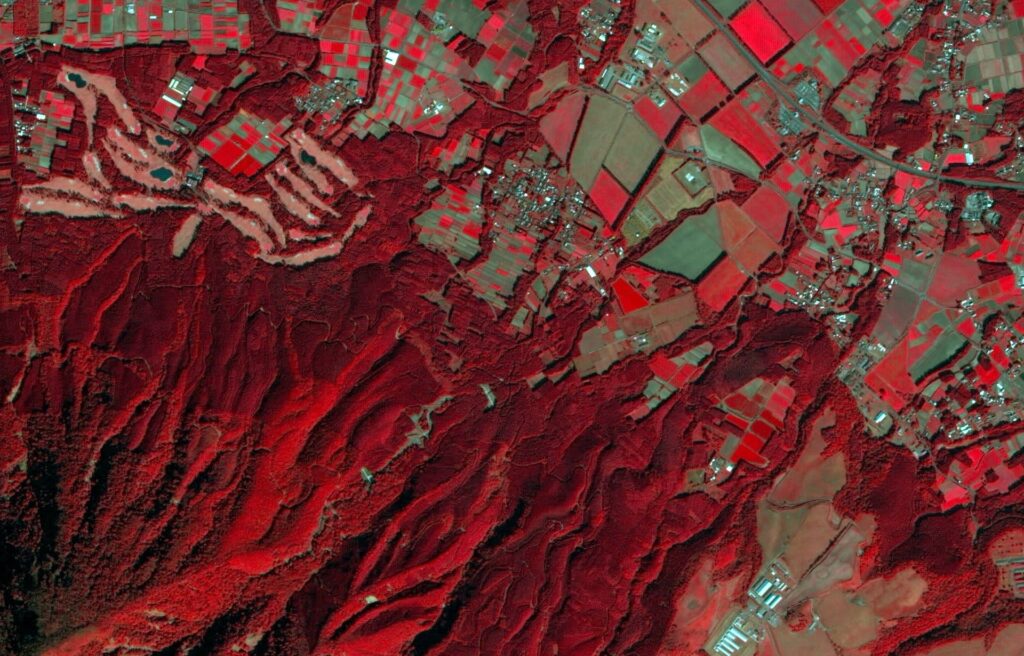
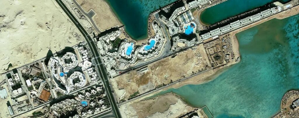
When it comes to obtaining high-resolution pictures for a variety of uses including disaster management, environmental monitoring and urban planning, satellite technology is essential. The KOMPSAT-3A satellite is one of the state-of-the-art satellites that is fueling this technological revolution. KOMPSAT-3A which was launched by the Korea Aerospace Research Institute (KARI) is a prime example of the most recent developments in Earth observation satellite technology where it provides a range of advanced capabilities that are specifically designed to satisfy the changing needs of the GIS sector. The Korea Multi-Purpose spacecraft-3A or KOMPSAT-3A for short is an optical spacecraft with excellent resolution that is intended for earth observation. It is the third satellite in the KOMPSAT-3 series having been launched on March 25, 2015 and it is the successor of KOMPSAT-3 and KOMPSAT-3A. Situated at an altitude of roughly 530 kilometers in a sun-synchronous orbit, KOMPSAT-3A is outfitted with cutting-edge sensors and imaging technologies that enhance its potential in the GIS sector. Key Features of KOMPSAT-3A High-Resolution Optical Imaging: The high-resolution optical imaging system of KOMPSAT-3A is the foundation of its capabilities where the satellite’s cutting-edge sensor allows it to take pictures with a 50-centimeter spatial resolution. Multi-Spectral Bands: Capable of collecting data at different wavelengths, the KOMPSAT-3A satellite has multi-spectral imaging capabilities which makes it possible to extract important data on the condition of the vegetation, the makeup of the soil and changes in the environment. Stereo Imaging for 3D Mapping: KOMPSAT-3A performs exceptionally well in stereo imaging for applications that need a three-dimensional depiction of the Earth’s surface where the satellite makes it easier to create precise 3D terrain models and Digital Elevation Models (DEMs) by taking pictures from various perspectives. High Revisit Frequency: Timely and current information is essential in the fast-paced field of GIS where areas of interest may be regularly tracked because of KOMPSAT-3A’s high revisit frequency. Applications like emergency response where quick assessment and decision-making are crucial and benefit greatly from this capacity. Key Features of KOMPSAT-3 Panchromatic and Multispectral Bands: Both panchromatic and multispectral bands are present in the optical sensor of the KoppSAT-3 satellite while the multispectral bands collect data at different wavelengths and offer useful information on geological features, vegetation health and land cover, the panchromatic band takes images in black and white with a higher spatial resolution. Wide Swath Coverage: The satellite can cover large geographic areas in a single pass because of its wide swath coverage capacity where KOMPSAT-3 offers a swath width of up to 15 kilometers making it possible to map and monitor huge areas thoroughly quickly and efficiently. Applications like forestry management, disaster assessment and land-use planning benefit greatly from this capability. Stereo Imaging Capability: Thanks to the satellite’s dual sensors, it is possible to create high-quality and three-dimensional models of the Earth’s surface where applications such as topographic mapping, terrain analysis and infrastructure development planning greatly benefit from this stereoscopic data. Global Accessibility and Data Sharing: Because KOMPSAT-3 is a member of the global Earth observation satellite network, its data is globally accessible and through cooperative endeavors and agreements for data sharing, GIS experts globally can utilize the satellite’s capabilities for a variety of purposes. Applications of KOMPSAT-3 and KOMPSAT-3A Development and Urban Planning: In urban planning and development, the high-resolution images offered by KOMPSAT-3 and KOMPSAT-3A have proven to be invaluable and because complex structures are a defining feature of urban regions, planners may evaluate land use patterns, track the development of infrastructure and examine changes over time thanks to satellites’ capacity to record minute details. Making educated decisions on zoning, transit and sustainable urban development is made easier with the help of this knowledge. Environmental Monitoring and Management: Within environmental monitoring, KOMPSAT-3 and KOMPSAT-3A are essential for resource management and assessment where accurate tracking of vegetation, land cover and ecosystem changes is made possible by the satellites. Environmental agencies can monitor deforestation, evaluate the effects of climate change and put into practice efficient conservation plans with the use of this knowledge which is priceless. Disaster Management and Response: It is critical to respond to natural disasters quickly and accurately and KOMPSAT-3 and KOMPSAT-3A make major contributions to disaster management. The real-time imagery provided by the satellites helps determine the level of damage caused by natural disasters like earthquakes, floods and wildfires. Coordinating emergency response activities, locating impacted locations and organizing evacuation routes all depend on this information. Infrastructure Management and Development: Large-scale or localized infrastructure projects greatly benefit from the in-depth information that KOMPSAT-3 and KOMPSAT-3A provide where these satellites provide infrastructure upkeep, construction site selection and construction monitoring. Throughout a project, high-resolution imagery assists engineers and project managers in identifying possible obstacles, evaluating the terrain and coming to well-informed judgments. The precision with which the KOMPSAT-3 and KOMPSAT-3A satellite sensors produce high-resolution imagery sets them apart as invaluable instruments in the complex world of GIS applications. These satellites make a substantial contribution to a variety of sectors including urban planning, disaster management, environmental monitoring and precision agriculture which allows for informed decision-making and sustainable development. The GIS sector is expected to see an increase in the use of these satellites as technology develops providing new opportunities for comprehending and governing our dynamic environment.
KOMPSAT-3A Satellite Sensor Read More »