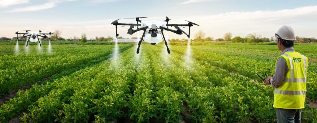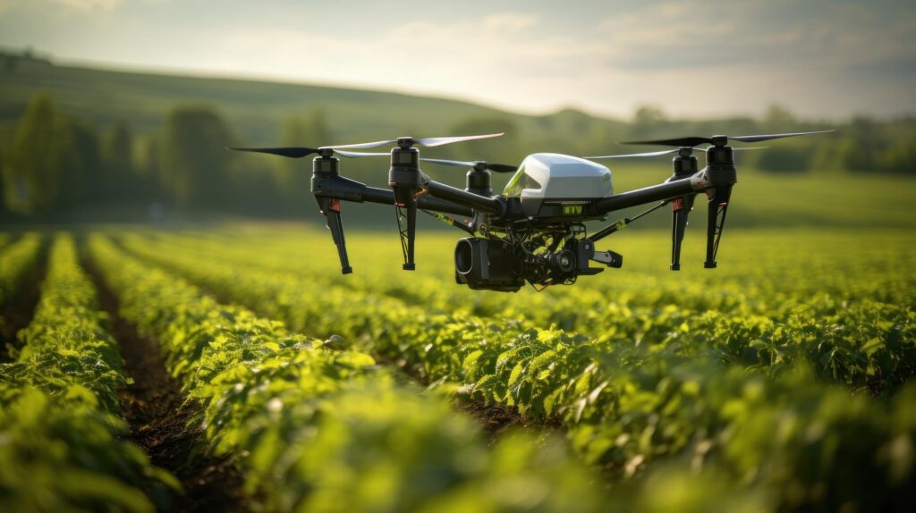
Types of Drones in Agriculture
The agricultural industry has experienced a technological revolution in recent years adopting creative solutions to boost productivity and efficiency where the use of drones in precision farming stands out among these innovations as a game-changer. With their state-of-the-art Geographic Information System (GIS) technology, these unmanned aerial vehicles have completely changed how farmers handle their crops. …