Aerial Photogrammetry
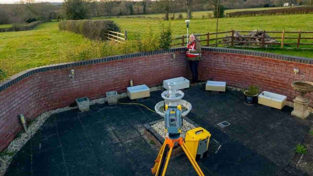
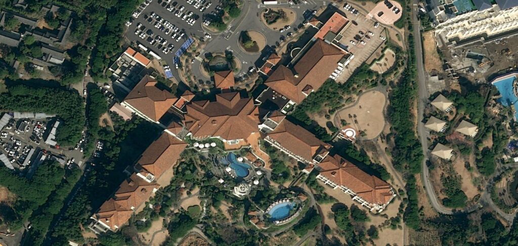
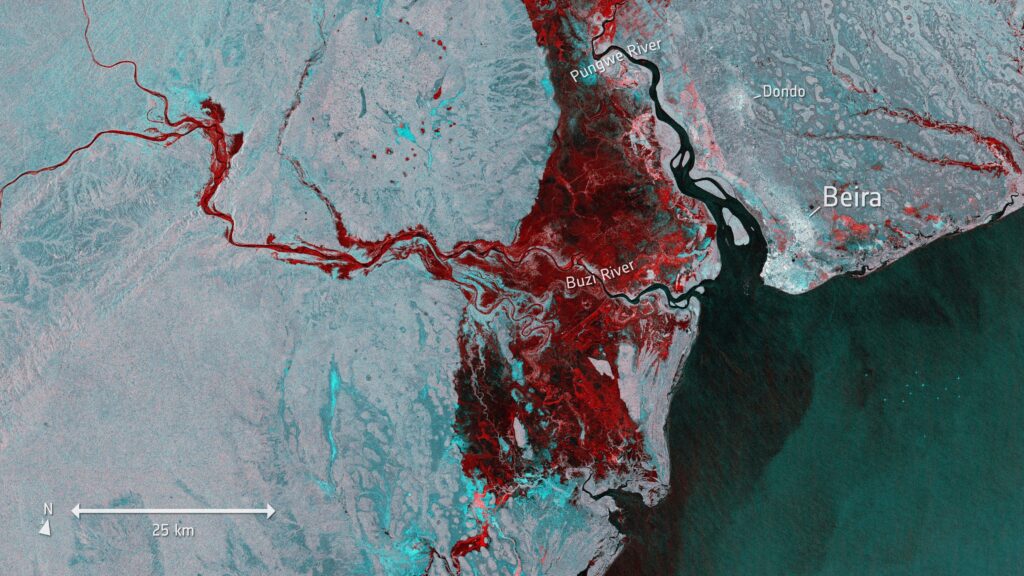
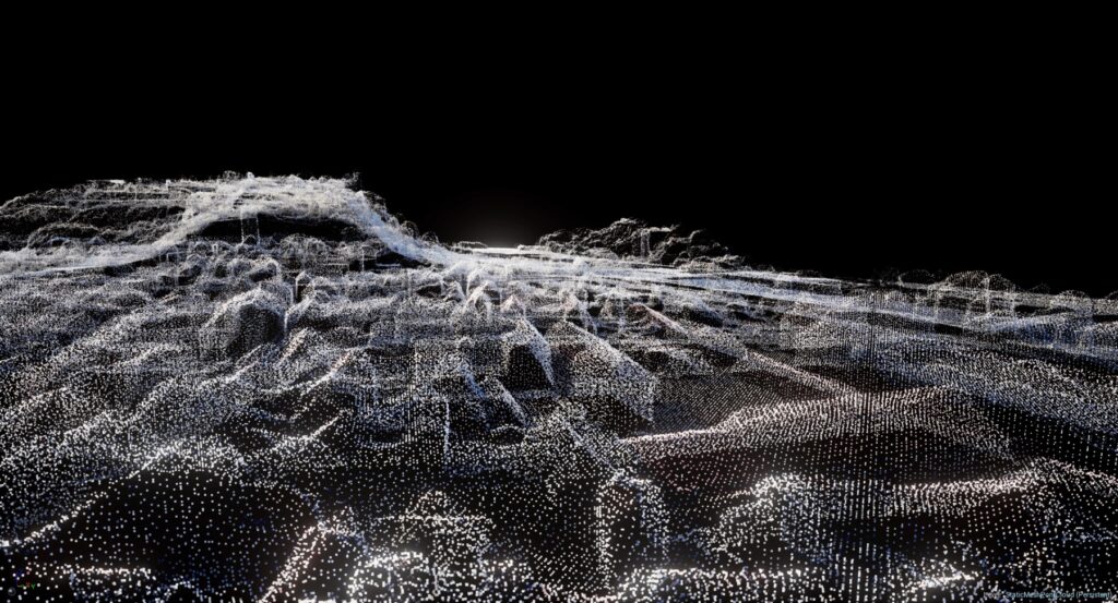
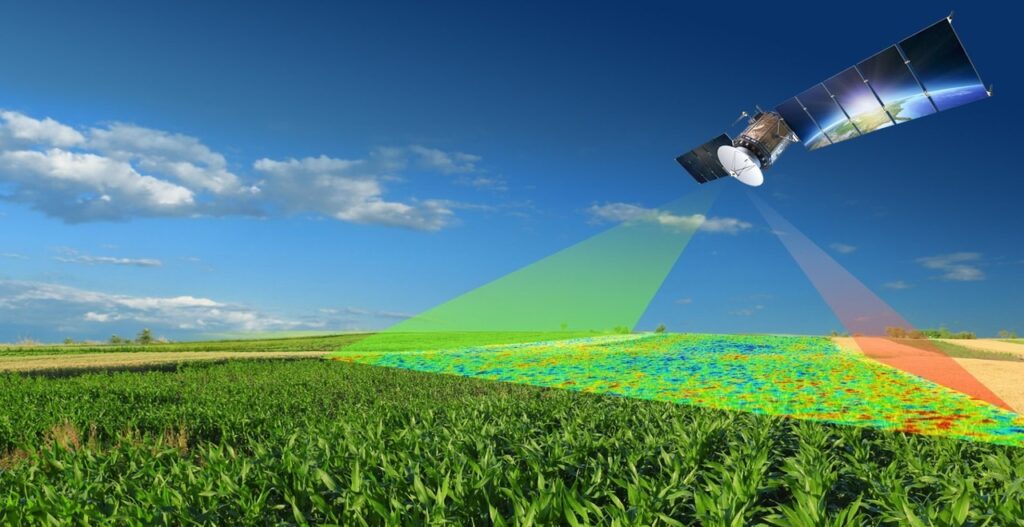
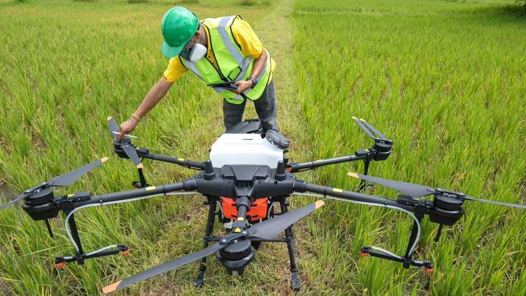
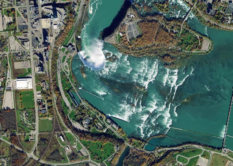
Aerial photogrammetry is a cutting-edge method in Geographic Information Systems (GIS) that enhances mapping and spatial analysis with never-before-seen precision and efficiency and this cutting-edge technique produces incredibly accurate and detailed maps by fusing photogrammetric concepts, surveying and aerial images. What is Aerial Photography in Photogrammetry? Aerial photography in photogrammetry is a pivotal technique within the GIS industry employing high-resolution imagery captured from airborne platforms and this method uses stereoscopic vision to retrieve 3D data making it easier to map and model terrain precisely. By using digital elevation models (DEMs) and orthophotos, experts examine changes in the topography, land use and environment. Geospatial information is calculated by photogrammetric software and accuracy is ensured via ground control points. This technique which is essential to Geographic Information Systems (GIS) improves disaster management, urban planning and spatial analysis. In photogrammetry, aerial photography provides a thorough understanding of landscapes promoting sustainable development and well-informed decision-making in the geospatial domain. Principles of Aerial Photogrammetry Aerial photogrammetry is based on stereo vision which is the process of taking overlapping aerial photos from various angles which makes it possible to create spatially accurate maps and 3D models. Camera Calibration: Accurate measurements depend on precise camera calibration and to guarantee accurate data gathering, parameters including focal length, lens distortion and sensor properties need to be calibrated. Applications of Aerial Photogrammetry Topographic Mapping: Detailed topographic maps are made possible in large part by aerial photogrammetry where it makes height, geography and land feature more accurately represented by taking high-resolution photos and using exact measurement methods. Urban Planning and Development: Aerial photogrammetry is used in urban planning to help with infrastructure design, land use assessment and change tracking where this technology gives planners precise data so they may make well-informed decisions supporting smart city initiatives. Environmental Monitoring: Aerial photogrammetry improves the effectiveness of monitoring environmental changes such as deforestation, land degradation or natural disasters where high-resolution imagery capturing makes it possible to analyze environmental conditions in great detail. Precision Agriculture: Aerial photogrammetry helps agricultural practices by giving farmers comprehensive information about crop health, soil conditions and irrigation requirements. This data-driven strategy enhances overall farm management and maximizes resource allocation. Future Trends Advanced Sensor Technologies: Developments in sensor technology, particularly in the areas of multispectral and hyperspectral imaging are advantageous to aerial photogrammetry where these sensors record information that is not apparent to the human eye which enables more thorough analysis in applications such as mineral prospecting, vegetation health monitoring and land cover classification. Machine Learning and AI Integration: Data processing and analysis are being revolutionized by the combination of aerial photogrammetry, machine learning and artificial intelligence where algorithms for automated feature extraction, object recognition and change detection are becoming a crucial part of GIS processes since they drastically cut down on manual labor and accelerate project completion times. Real-Time Data Processing: Aerial photogrammetry is becoming more advanced due to the need for real-time data where GIS specialists can now process and analyze data instantly because of the development of sophisticated computing technology. This allows for quick decision-making and response in areas like emergency response, infrastructure monitoring and disaster management. Enhanced 3D Modeling: Thanks to advancements in processing power and algorithms, aerial photogrammetry is moving toward more complex 3D modeling methods where detailed terrain research, urban planning and simulation applications are made possible by high-fidelity 3D models which give stakeholders a more engaging and informative experience. At the vanguard of GIS technology, aerial photogrammetry provides unmatched spatial mapping accuracy and detail where the field of mapping and spatial analysis has changed significantly as a result of the developments in stereo vision, camera calibration and the incorporation of cutting-edge technology like Lidar and UAVs. Prospects for the interaction between aerial photogrammetry and GIS are bright, as difficulties are met and technology advances opening up new avenues for precision mapping and spatial intelligence.
Aerial Photogrammetry Read More »