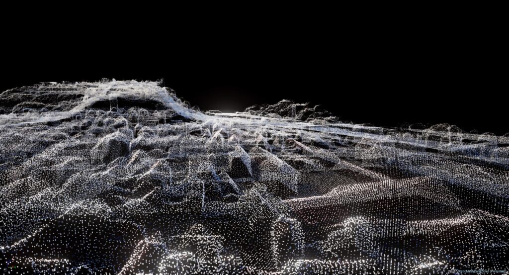
A collection of data points specified in three dimensions is called a point cloud. Concerning the physical world, every point in the cloud is uniquely identified by its X, Y and Z coordinates where these datasets are often gathered through the use of several remote sensing technologies such as photogrammetry or LiDAR (Light Detection and Ranging) which makes it possible to create incredibly precise and thorough reconstructions of the Earth’s surface. The use of point clouds, a basic component of Geographic Information Systems has completely changed how humans view and process spatial data. Numerous points in space make up these three-dimensional datasets which are an abundant supply of data for modeling, mapping and comprehending the real world.
Applications of Point Clouds
Topographic Mapping: Point clouds play a crucial role in topographic mapping providing detailed information about the Earth’s surface and LiDAR-derived point clouds, for instance, enable the creation of Digital Elevation Models (DEMs) and Digital Terrain Models (DTMs) facilitating accurate representation of terrain variations.
Urban Planning: In urban planning, point clouds assist in the creation of 3D city models where these models are instrumental in visualizing and analyzing the built environment aiding planners in making informed decisions related to infrastructure development, zoning and land use.
Environmental Monitoring: Point clouds are employed in environmental monitoring to assess changes in landscapes such as deforestation, land degradation or the impact of natural disasters where the high precision of point cloud data allows for detailed analysis of terrain alterations over time.
Infrastructure Management: Civil engineers and infrastructure planners utilize point clouds for assessing and managing transportation networks, utilities and other critical infrastructure. The ability to accurately capture and represent the built environment supports efficient asset management and maintenance.
Archaeological Studies: Archaeologists leverage point clouds for detailed documentation and analysis of archaeological sites where this technology aids in the preservation of cultural heritage by creating precise 3D models of artifacts, structures and excavation sites.
Attributes of Point Clouds
Intensity: One important characteristic linked to every point in a point cloud is intensity and it displays the laser pulse’s strength or return signal which is used to collect LiDAR (Light Detection and Ranging) data. The intensity values give surface reflectivity information which helps distinguish between various materials and facilitates feature classification.
Color Information: Depending on extra sensors or pictures, each point in some point clouds has a color assigned to it and this feature improves the data’s visual representation and helps with applications like environmental monitoring, land cover classification and terrain mapping. A more comprehensive dataset for analysis is produced when color and geographical information are combined.
Time Stamp: This is an important feature for dynamic situations, particularly when mobile LiDAR systems are involved as it enables the investigation of temporal changes by logging the time at which each point was recorded. In applications where understanding changes over time is crucial such as transportation planning, time-stamped point clouds are useful.
Density: The quantity of points in a given region is referred to as point cloud density where surfaces and features can be represented in more detail with point clouds that have a higher density. In applications like forestry where precisely recording the structure of plants is crucial, density is an important feature.
Functions of Point Clouds
Terrain Modeling and Visualization: Terrain modeling is one of the main uses of point clouds in GIS where a precise depiction of the Earth’s surface is offered by point clouds which makes it easier to create high-resolution Digital Surface Models (DSMs) and Digital Elevation Models (DEMs). Applications such as landform classification, watershed analysis and floodplain mapping depend on these models. Point clouds provide GIS experts with unmatched precision for visualizing and analyzing topographical data which helps with land use and environmental management decision-making.
Augmented Reality and Virtual Reality Applications: New opportunities in GIS have been made possible by the integration of point clouds with augmented reality (AR) and virtual reality (VR) technology where users can engage with and explore three-dimensional spatial information by visualizing point cloud data in immersive environments. This skill can be used in simulation exercises, architectural design and urban planning to give stakeholders dynamic and realistic representations that help them make more informed decisions.
Change Detection and Monitoring: Point clouds are an effective tool for tracking changes over time and detecting changes where GIS analysts can recognize and measure changes in the environment by comparing numerous point cloud datasets that were obtained at various times in time. This capacity is especially helpful for tracking urbanization, keeping an eye on the growth of plants and evaluating the effects of natural disasters. The capacity to recognize minute alterations in the terrain facilitates well-informed decision-making about environmental preservation, disaster management and sustainable growth.
Point clouds have become indispensable opening up new avenues for spatial analysis and comprehension where point cloud data has a wide range of uses starting from topographic mapping to urban planning and beyond. Point clouds can greatly influence how we perceive the world around us as long as technology keeps developing overcoming obstacles and accepting new ideas. The GIS community is poised to make even more strides with further research and development, therefore point clouds will undoubtedly remain a key component in the digital transformation of spatial analysis.


