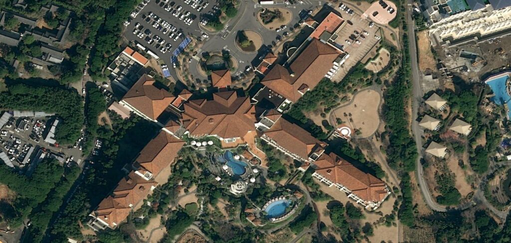
High-resolution satellite imagery obtained by Earth observation satellites allows for the detection and distinction of smaller objects and features on the surface of the planet and this type of photography is known as high-resolution satellite imaging. A crucial factor in determining an image’s level of detail is its spatial resolution which is commonly expressed in meters per pixel. The GIS sector has seen a notable rise in satellite imaging resolution as a result of technological advancements, making mapping more exact and accurate and with the advent of high-resolution satellite photography, the rapidly developing discipline of Geographic Information Systems has completely changed how we view and study the Earth’s surface. The combination of state-of-the-art satellite technology and GIS applications has created new opportunities for unprecedentedly detailed resource mapping, monitoring and management on our globe.
Satellite Platforms and Sensors
High-resolution imagery is gathered by several satellite platforms each of which has sensors designed for a particular purpose. For example, optical sensors record images in the visible and infrared ranges while synthetic aperture radar (SAR) sensors are capable of penetrating cloud cover to yield important information about the Earth’s surface even in inclement weather. Leading constellations of satellites, like those run by Planet Labs, Airbus and Maxar Technologies have led the way in providing high-resolution satellite photography and with its 31-centimeter panchromatic and 1.24-meter multispectral resolution, WorldView-3, an advanced satellite in the MAXAR constellation is well-known for providing unmatched clarity and detail.
Applications
Urban Planning and Development: High-resolution imagery facilitates urban planners in detailed land-use mapping, infrastructure development and monitoring urban sprawl where the ability to discern individual buildings, roads and vegetation aids in making informed decisions for sustainable urban development.
Natural Resource Management: GIS professionals leverage high-resolution satellite imagery for precise mapping of natural resources including forests, water bodies and agricultural lands which enables efficient resource management, monitoring of deforestation and assessing the health of ecosystems.
Disaster Monitoring and Response: During natural disasters such as earthquakes, floods or wildfires, high-resolution satellite imagery plays a crucial role in assessing the extent of damage identifying affected areas and planning emergency response efforts. The rapid availability of up-to-date imagery aids in swift decision-making.
Environmental Monitoring: Monitoring environmental changes such as deforestation, pollution and land degradation is essential for sustainable environmental management where high-resolution imagery assists in tracking these changes over time providing valuable insights for conservation efforts.
Precision Agriculture: High-resolution satellite imagery aids precision agriculture by offering detailed insights into crop health, soil conditions and pest infestations where farmers can make data-driven decisions to optimize crop yield, reduce resource usage and enhance overall productivity.
Future Trends
Exciting opportunities lie ahead for high-resolution satellite imagery in the GIS sector and it is anticipated that continuing advancements in satellite technology will push the limits of spatial resolution even beyond giving GIS specialists previously unheard-of levels of detail. Small satellite constellations and miniature satellites or “CubeSats” are becoming increasingly commonplace and provide quick and affordable ways to image the surface of the Earth. Furthermore, it is projected that the combination of high-resolution images with additional geospatial data sources like LiDAR and drone imagery will produce extensive datasets for more precise and thorough mapping. The integration of various data sources will improve GIS experts’ analytical skills and allow for a more profound comprehension of spatial linkages and patterns.
A key component in the development of the GIS sector, high-resolution satellite imagery adds a level of precision and depth to the mapping and monitoring of the Earth’s surface where the GIS community can use high-resolution images to tackle difficult problems as technology develops starting from disaster response and precision agriculture to urban planning and environmental management. Even while there are still technological difficulties, advances in satellite technology, cloud computing and artificial intelligence are opening the door to more effective and scalable solutions. Prospects are promising as a result of the ongoing integration of high-resolution satellite imagery with other geospatial information which will enable GIS specialists to make wise judgments and help create a more resilient and sustainable future.


