- All Blogs
- Back

The term “remote sensing” describes the process of gathering information about a thing or phenomenon from a distance usually using satellites or aircraft sensors where the…
The science of GIS relies heavily on satellite imagery which has revolutionized our understanding of and ability to interpret spatial data and with the development of…
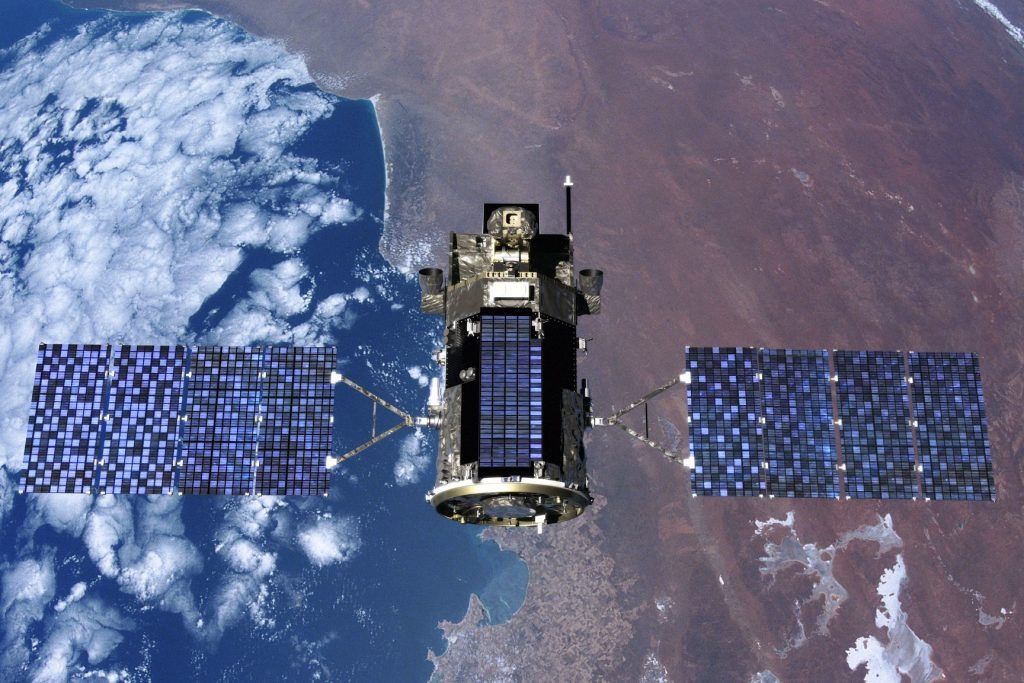
The process of satellite mapping entails gathering, analyzing and processing geographical data gathered by Earth-observing satellites and these satellites’ advanced sensors allow them to collect high-resolution…
Geographic Information System or GIS is a strong framework for gathering, storing, processing and displaying geographic data and this customized system makes it easier to handle…
Stereo Satellite Imagery involves the acquisition of images from two slightly different perspectives mimicking the human visual system’s binocular vision. This method is based on the…
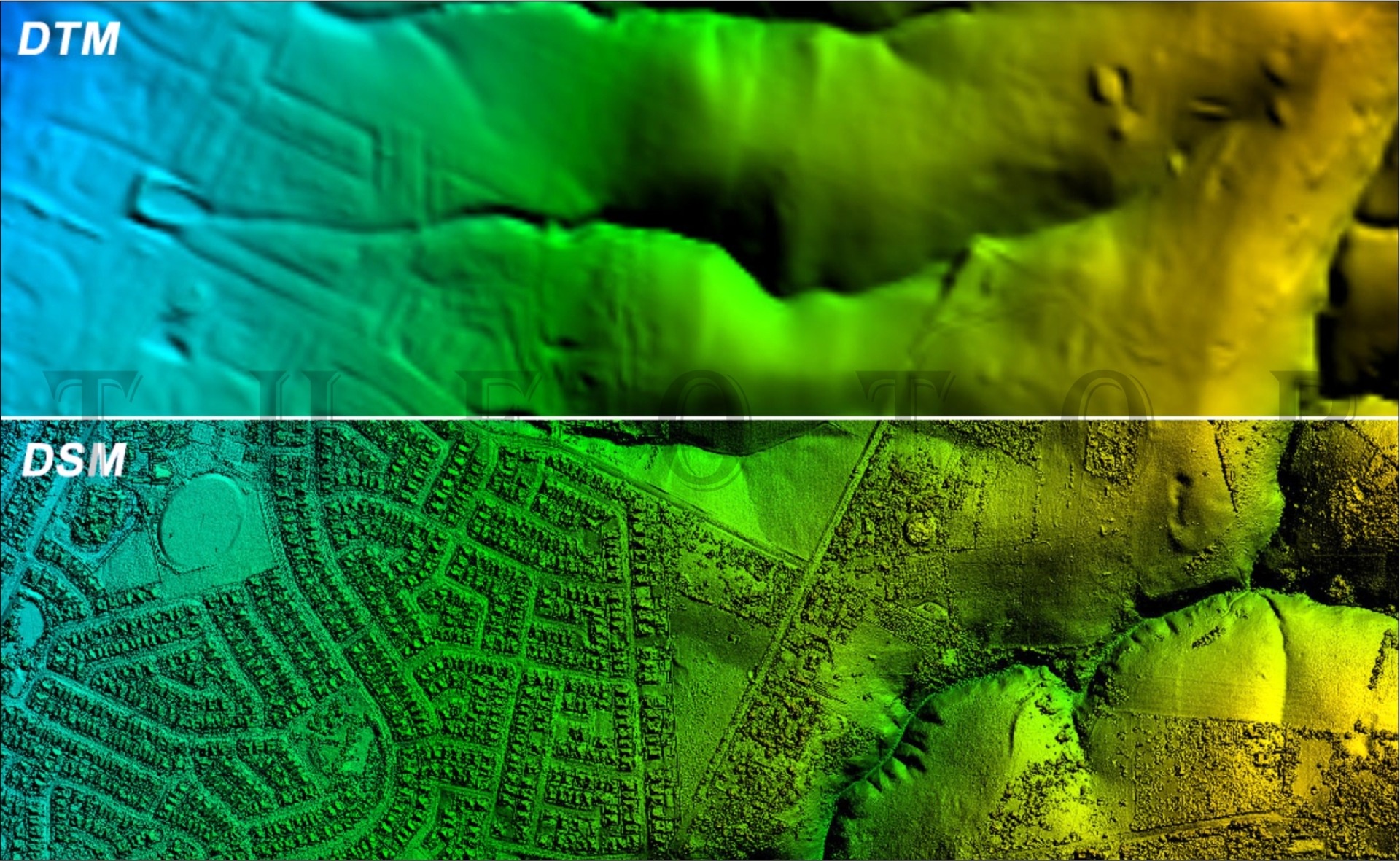
Digital Elevation Models (DEM) and Digital Surface Models (DSM) are two fundamental elements in GIS landscape modeling where these models serve different functions and are essential…
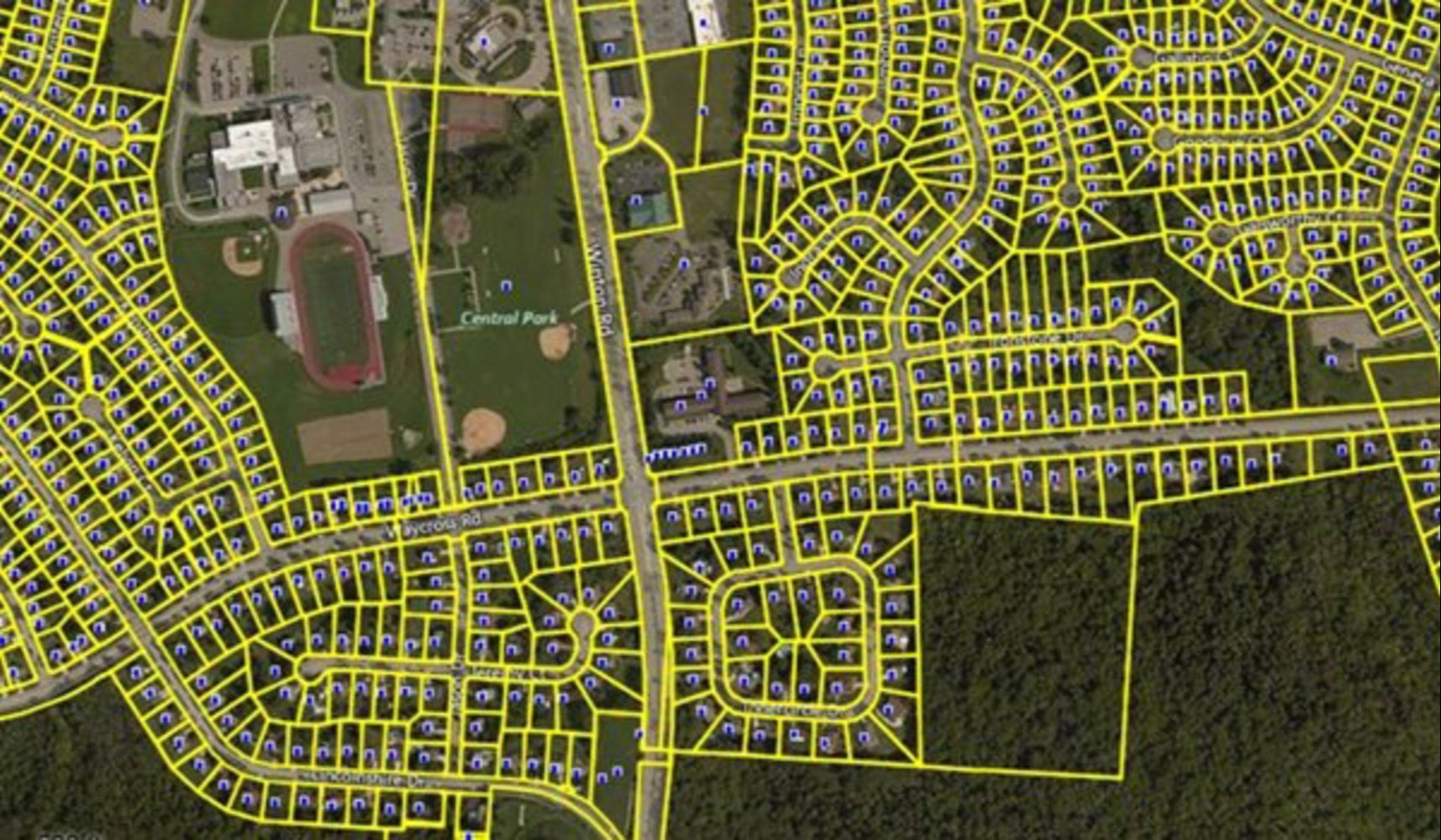
Delineating and recording land parcels, along with their boundaries, ownership details and geographical characteristics is known as cadastral mapping. Establishing a thorough and accurate record of…
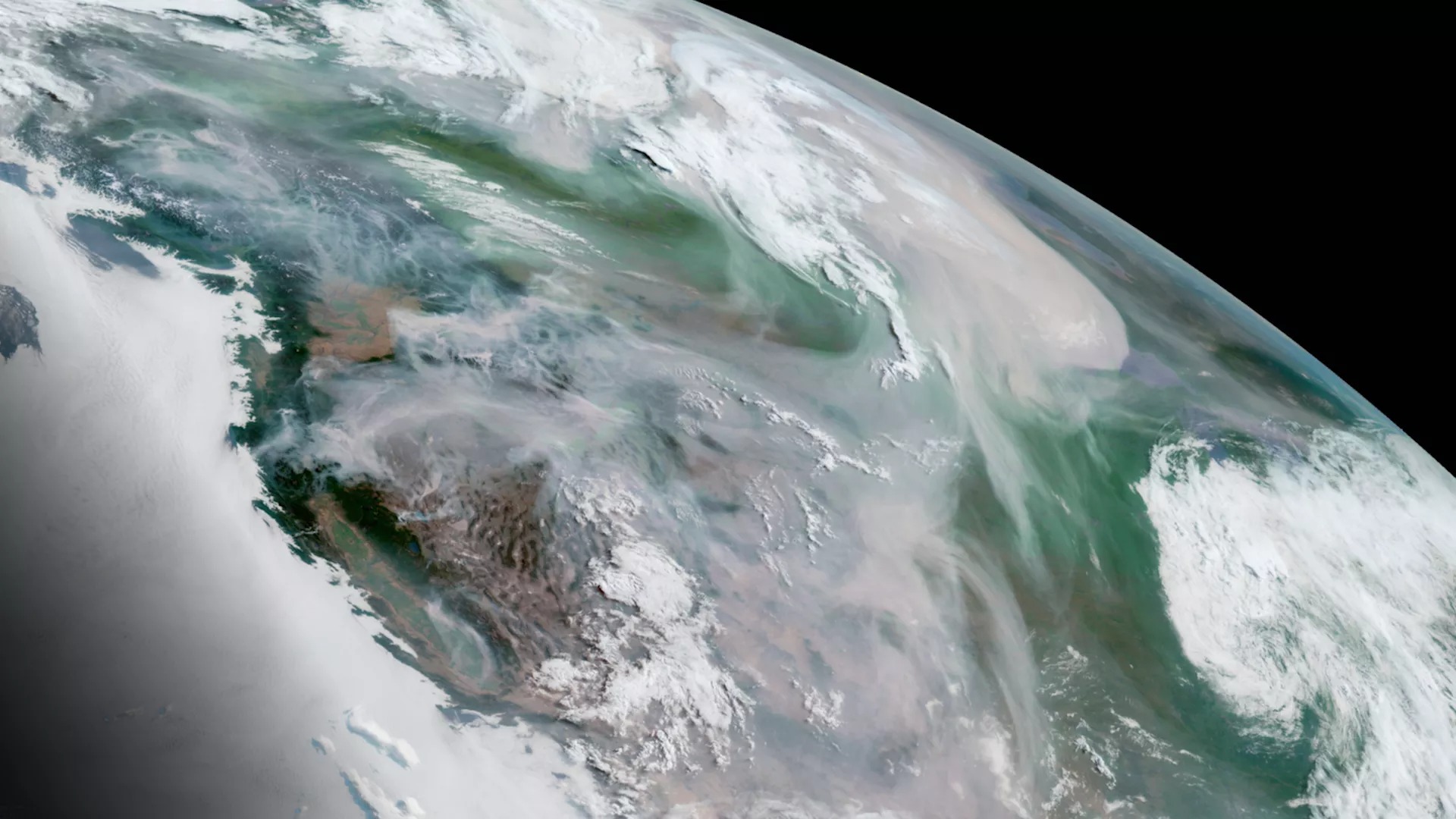
The term “satellite imagery” describes the image of the Earth’s surface that is obtained by satellites in orbit and these photos are taken with sensors that…
Geographic Information System technology is now widely used in many different industries with significant applications in civil engineering and the spatial viewpoint provided by GIS improves…