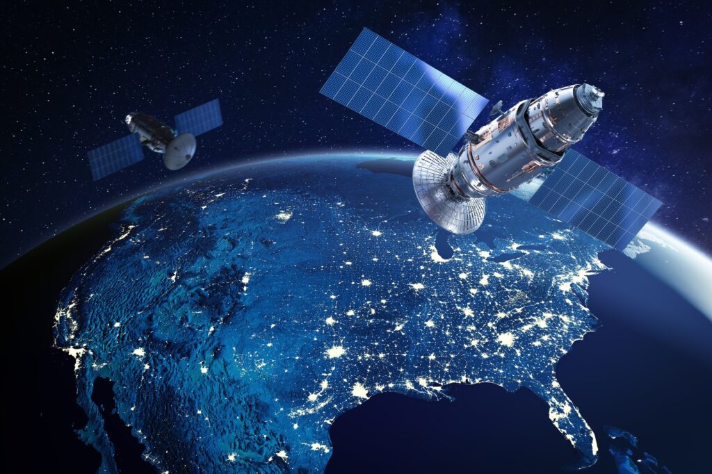
A manmade object positioned in orbit around a celestial body is called a satellite and satellites in orbit around the Earth are outfitted with a variety of sensors and devices to collect and relay data down to Earth in the context of Earth observation and geographic information systems. These data allow for a broad range of GIS applications such as land use classification, urban planning, environmental monitoring and disaster management. They include high-resolution images as well as multispectral and hyperspectral data.
Key Components of Satellite Systems
Payload: A satellite’s equipment and sensors that are in charge of gathering data make up its payload where the payload of satellites used for remote sensing may comprise thermal imagers, radar equipment and optical sensors, among other things.
Platform: The satellite’s framework and subsystems that sustain the payload and other vital parts are referred to as the platform where systems for power, propulsion, attitude control and communication are all included.
Ground Segment: The Earth-based infrastructure required for satellite control and communication is included in the ground segment. Ground stations, mission control hubs and data processing facilities fall under this category.
What is a Satellite Map?
Within the field of Geographic Information Systems, a satellite map is an electronic depiction of Earth’s surface produced by remote sensing satellites where these maps use geospatial data and pictures obtained from satellites in orbit to give specific details on the topography, land cover and man-made structures.
Satellite imagery is transformed into maps via the rasterization or vectorization process enabling accurate analysis and visualization of geographic characteristics where these maps are essential resources for emergency management, environmental monitoring, urban planning and navigation. They provide unmatched insights into the changing landscapes of our globe enabling well-informed decision-making in a range of businesses.
Types of Satellites
Optical Satellites: They use visible and near-infrared wavelengths to take pictures and optical satellites with high resolutions can produce detailed images that are useful for mapping and tracking changes in the land cover.
Radar Satellites: Regardless of the weather or time of day, radar satellites employ microwave pulses to take pictures and collect data by piercing cloud cover which are useful for mapping topography, keeping an eye on flora and identifying variations in the height of the land surface.
Geostationary Satellites: Fixed at fixed altitudes above the surface of the Earth, geostationary satellites offer a round-the-clock observation of particular areas and they are essential for environmental monitoring, disaster management and weather forecasting.
Navigation Satellites: The Global Positioning System (GPS) and Galileo are two examples of navigation satellites that offer precise positioning and timing data that are necessary for GIS applications. On the surface of the Earth, they make precise mapping, surveying, and navigation possible.
Satellite Applications
Environmental Monitoring: Deforestation, land degradation and climate change are just a few of the environmental changes that satellite data can be used to track. Images from remote sensing are useful for locating regions of interest and monitoring changes over time.
Urban Planning and Infrastructure Development: Land use trends, population distribution and infrastructure development may all be analyzed by policymakers and planners using satellite images.
Agriculture and Land Management: Precision agriculture, yield prediction and crop monitoring are all made possible by satellites which also offer farmers and land managers practical insights. Making educated decisions is made possible by the use of remote sensing data to determine vegetation indices, crop health and soil moisture levels.
With their unequaled ability to provide insights into the Earth’s surface and atmosphere, satellites are the epitome of human ingenuity and within the field of GIS, satellites are essential instruments for gathering, analyzing and making decisions in a variety of sectors. The use of satellites in GIS is expected to grow as technology develops, opening up new avenues for knowledge acquisition and environmental and resource management on Earth.


