Top 10 Free Satellite Imagery Providers
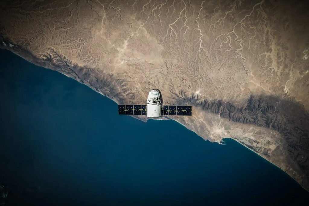
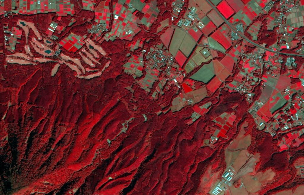
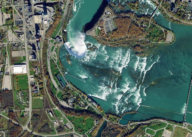
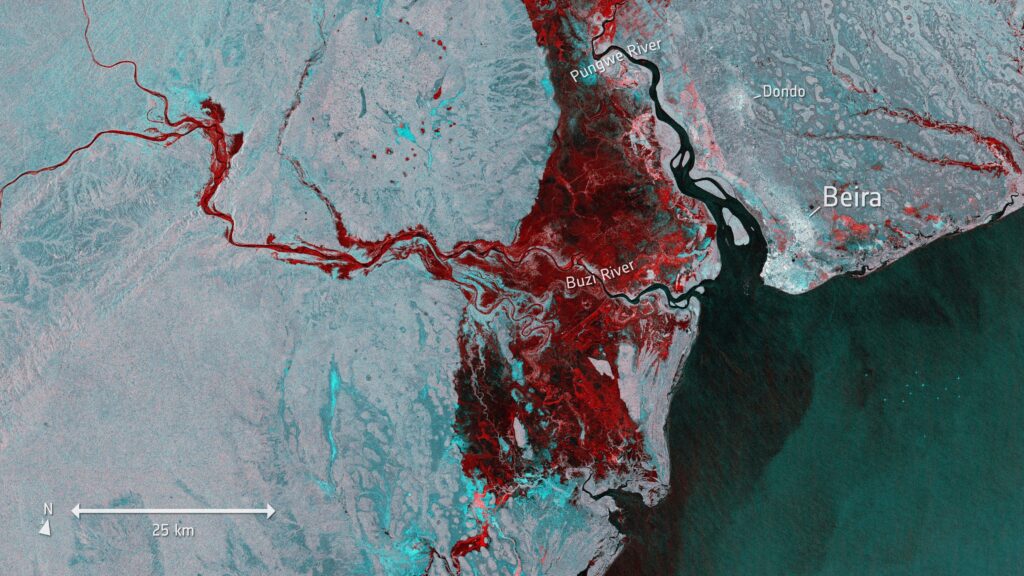
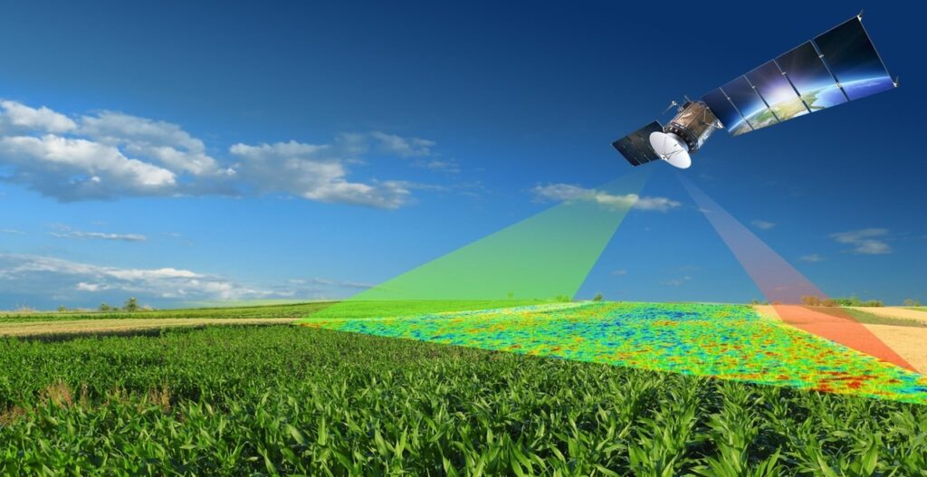
The term “satellite imagery” describes the picture of the Earth’s surface that is taken by imaging satellites in orbit around the planet where these satellites collect data at multiple wavelengths using a variety of sensors, including radar and optical ones, opening for a wide range of uses. Satellite photography has emerged as a crucial element in the field of Geographic Information Systems, revolutionizing our comprehension and ability to analyze the Earth’s surface. As we delve more into the intricate area of GIS, it becomes increasingly evident that mapping, observing, and understanding our world all depend on satellite imagery. USGS Earth Explorer An online resource called USGS Earth Explorer was created by the US Geological Survey, a federal science organization. This portal functions as a vast data repository, providing users with access to a large assortment of aerial and satellite photography along with other geographic datasets. With the use of this effective tool, GIS specialists may obtain the geospatial data required for a variety of uses, such as urban planning, environmental monitoring, land cover mapping, and disaster response. Key Features Multisensor Data Access: USGS Earth Explorer gives users access to a wide range of satellite data from several sensors, such as MODIS, Sentinel, and Landsat. Because of its extensive worldwide coverage and lengthy history, Landsat data is especially useful for tracking changes in land cover over time. Temporal and Spatial Coverage: The breadth of USGS Earth Explorer’s temporal and spatial coverage is one of its strongest points. For trend analysis and longitudinal investigations, users can obtain satellite imagery from decades ago. Additionally, the platform is global in scope, allowing users to access data for particular areas of interest. Advanced Search and Filtering Options: USGS Earth Explorer offers advanced search and filtering options, allowing users to specify criteria such as time range, cloud cover percentage, and sensor type. This ensures that users retrieve the most relevant and high-quality data for their specific needs. NASA Earthdata NASA Earthdata is an extensive platform that provides access to a wide range of Earth scientific data across several fields. With its emphasis on spatial data analysis and visualization, the GIS sector has discovered a goldmine in the variety of information provided by NASA. These datasets, which are frequently obtained by satellite observations, aid in a better comprehension of the dynamic processes that occur on Earth. Sensing and GIS Integration One of the main components of NASA Earthdata is remote sensing, which is the process of gathering data about the Earth’s surface without making direct physical touch. To analyze and interpret spatial data, this technology is smoothly integrated into GIS. Geographic Information Specialists may analyze environmental trends, monitor changes in land cover, and even evaluate the effects of natural disasters because of the abundance of remote sensing data made available by NASA Earthdata. European Space Agency (ESA) Open Access Hub An invaluable resource for access to a wealth of satellite imagery and geospatial data is the European Space Agency (ESA) Open Access Hub. With the growing need for high-quality Earth observation data, experts in the GIS sector look to the ESA Open Access Hub to use advanced technologies for a wide range of uses. A vast collection of Sentinel satellite data is the central component of this technological marvel. Sentinels are a fleet of Earth observation satellites that are part of the Copernicus program. They are carefully constructed to keep an eye on the health of our planet. These satellites gather an abundance of data that is essential for well-informed decision-making across a wide range of businesses, from atmospheric conditions and changes in land cover to sea ice dynamics. NOAA’s National Centers for Environmental Information (NCEI) NCEI is a geographic information gold mine that compiles data from a variety of sources, such as weather stations, environmental monitoring equipment, and satellite observations. This repository uses state-of-the-art technologies to guarantee data accuracy, integrity, and accessibility in addition to centralizing large datasets. In the GIS field, producing meaningful geographical studies requires the seamless integration of disparate datasets. NCEI is excellent at offering a multitude of environmental data that can be easily included into GIS platforms, allowing experts to build thorough models and make defensible conclusions. The high-resolution satellite imagery that NCEI provides to the GIS community is one of its main contributions. These photos, which were taken with cutting-edge equipment, enable GIS analysts to watch natural disasters, keep an eye on changes in land cover, and determine with previously unheard-of accuracy how human activity affects the environment. Google Earth Engine The fundamental feature of Google Earth Engine is its unparalleled ability to access an extensive satellite imagery database. Users of the site can access a vast database of information gathered from satellites such as MODIS, Sentinel, and Landsat. This decades-long imagery collection allows for a retroactive examination of how the Earth’s surface has changed over time. The ability of Google Earth Engine to effectively process and analyze this enormous amount of data is one of its most notable qualities. The platform makes use of the cloud’s parallel processing capabilities to enable users to carry out intricate geospatial studies without requiring a large amount of computer power. For GIS experts, this scalability represents a paradigm change since it removes long-standing obstacles to large-scale spatial analysis. Copernicus Open Access Hub Copernicus Open Access Hub shines like a star, offering scientists, academics, and hobbyists an immense amount of spatial data. In honor of the visionary scientist Nicolaus Copernicus, this sophisticated hub nexus facilitates access to a vast array of Earth observation data, ushering in a new era of GIS applications. Copernicus Open Access Hub’s dedication to democratizing geospatial data is at its core. By utilizing cutting-edge technology, the hub serves as a storage facility for Copernicus Sentinel satellite data, providing users with an unfettered and open door to a multitude of data. The hub is a crucial part of the European Space Agency’s (ESA) and the European Commission’s (EC) Copernicus program, which aims to provide precise and timely Earth observation data for
