
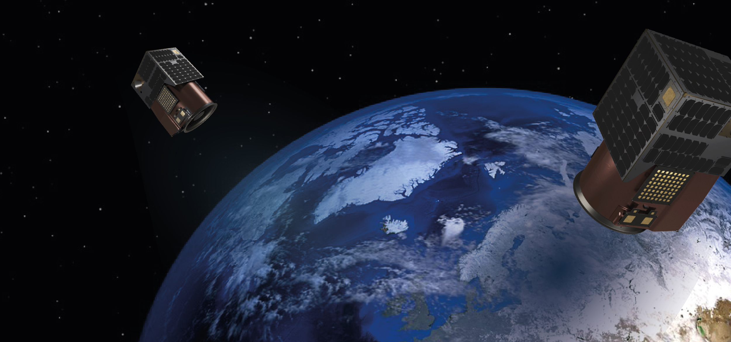
Components of Remote Sensing
This industry in the GIS is called remote sensing which collects information about objects or areas from a distance by aircraft or
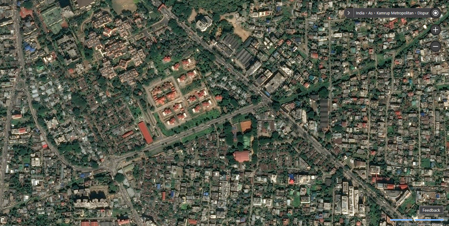
Satellite Town
Satellite towns are an emerging phenomenon in a rapidly urbanizing world. A smaller municipality or town situated near a major metropolitan city
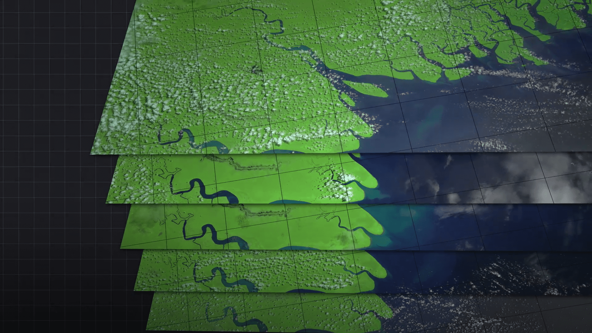
Temporal Resolution
Geographic Information Systems emphasize the importance of the term “temporal resolution.” The frequency at which data has to be captured or observed
What Is Spatial Resolution?
GIS and remote sensing define spatial resolution as one of the definitions: it represents the degree of spatial detail in an image

What Is High Resolution?
Resolution in the GIS world relates to that of the quality and accuracy of spatial data. Resolution, referring to the amount of
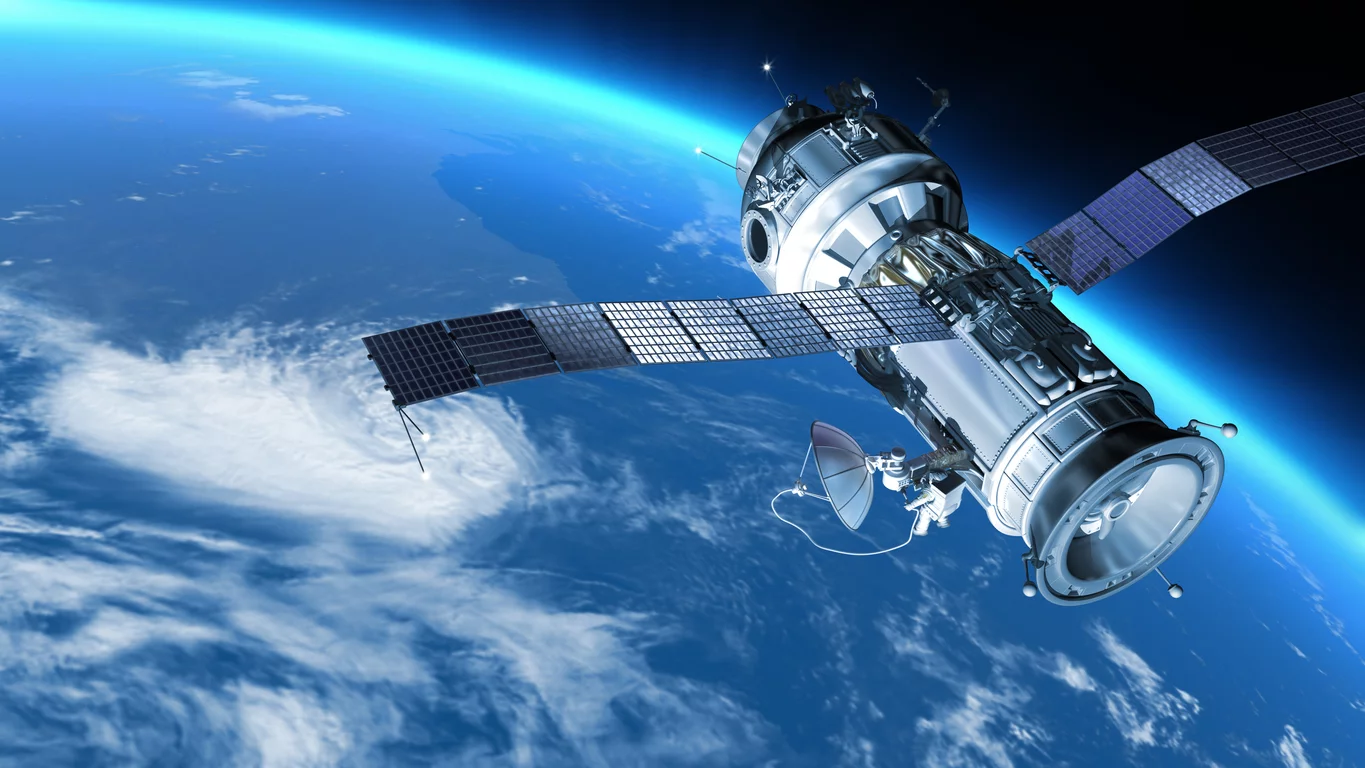
What is Aerial Remote Sensing?
Aerial remote sensing is an essential technology meant for extracting information from the Earth’s surface using airborne onboard sensors. It is actually