Types of Satellite Imagery
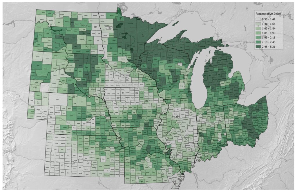
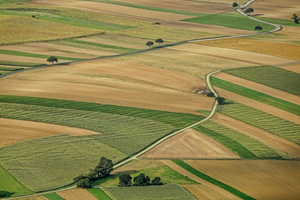
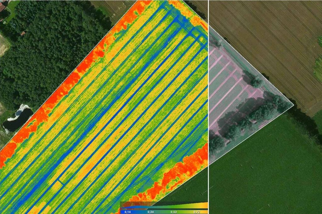
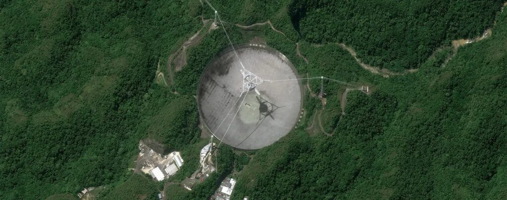
Our perception and comprehension of our world have been completely transformed by satellite images which is the foundation of the Geographic Information System (GIS) sector and these high-resolution space images offer a multitude of data for a variety of uses including disaster relief, urban planning and environmental monitoring. This process explores the technical features of satellite imaging within the GIS sector delving into its complexities. Types of Satellite Imagery Optical Satellite Imagery In GIS, optical satellite imagery is one of the most popular and extensively utilized forms. Similar to how the human eye sees light, these photos capture the visual spectrum and high-resolution images are produced by optical sensors on satellites enabling in-depth visual analysis. Optical satellite imaging is used for a variety of purposes including urban planning, disaster management, vegetation monitoring and land cover classification. Panchromatic Imagery: A high spatial resolution grayscale image is produced by panchromatic imaging which is distinguished by its capacity to record a wide range of wavelengths. Applications needing in-depth visual interpretation including identifying specific buildings in metropolitan areas or evaluating geological characteristics benefit greatly from this kind. Multispectral Imagery: This type of imagery uses various bands of the electromagnetic spectrum to record data and this makes it possible to analyze various surface features of the Earth according to their ability to reflect light. Monitoring crop health, evaluating the environment and managing natural resources are some examples of applications. Hyperspectral Imagery: By capturing many small bands throughout the electromagnetic spectrum, hyperspectral imagery elevates multispectral imaging to a new level and its exceptional spectral resolution makes it possible to precisely identify various minerals and compounds which is highly valuable in the fields of environmental monitoring, precision agriculture and mineral prospecting. Radar Satellite Imagery The basic idea behind radar (Radio Detection and Ranging) satellite imagery is that images are created by sending out radio waves and then catching their reflections and radar, as opposed to optical vision is appropriate for all-weather surveillance since it can pass through clouds and darkness. Synthetic Aperture Radar (SAR): SAR uses the motion of the satellite to mimic a bigger antenna to obtain high-resolution images. Applications where cloud cover or low light levels could impede optical sensors such as land deformation monitoring, urban subsidence analysis and disaster response, greatly benefit from the use of SAR imaging. Interferometric SAR (InSAR): InSAR uses several SAR pictures to identify surface alterations where ground movement may be detected by detecting the phase difference between two photographs which makes it an essential tool for tracking tectonic activity, infrastructure stability and land subsidence. Thermal Infrared Satellite Imagery The temperature of the Earth’s surface is measured via thermal infrared satellite images and these images shed light on how heat is distributed which has implications for energy management, environmental monitoring and agriculture. Land Surface Temperature (LST): One important variable obtained from thermal infrared images is LST and it aids in temperature monitoring which is essential for analyzing urban heat islands, researching climatic trends and refining agricultural methods. Active Fire Detection: The heat produced by active fires can be detected using thermal infrared sensors where monitoring volcanic activity, industrial mishaps and wildfires all depend on this skill. Lidar Satellite Imagery Laser beams are used in Lidar (Light Detection and Ranging) satellite images to measure distances and produce intricate, three-dimensional maps of the Earth’s surface. Planning infrastructure, inventorying forests and modeling topography all benefit greatly from the use of lidar data. Digital Elevation Models (DEMs): The topography of the Earth is accurately represented by Lidar-derived DEMs making it possible to analyze elevation variations with precision where planning infrastructure, slope analysis, and flood modeling all depend on this. Vegetation Structure Analysis: Because lidar can see through the canopy, it may provide a detailed analysis of vegetation structure that is useful for ecological research, habitat evaluation and forestry management. With its ability to provide a comprehensive view of our world from space, satellite imaging is a testimony to human ingenuity and in GIS, the combination of satellite imagery and cutting-edge technologies is opening up new possibilities starting from efficient catastrophe management to environmental sustainability. The symbiotic interaction between GIS and satellite imagery will surely be crucial in the future for tackling global concerns and promoting sustainable development.
Types of Satellite Imagery Read More »