- All Blogs
- Back
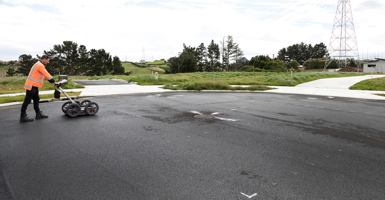
A geophysical technique called ground penetrating radar survey (GPR Survey) uses electromagnetic waves to image and assess underlying objects where the system is made up of…
The concepts of triangulation and stereoscopy are the foundation of photogrammetry where triangulation entails calculating the angles created by the point being observed, another point with…
The field of Geographic Information Systems relies heavily on satellite imagery to collect, analyze, and interpret spatial data. Satellite photography which is the process of using…
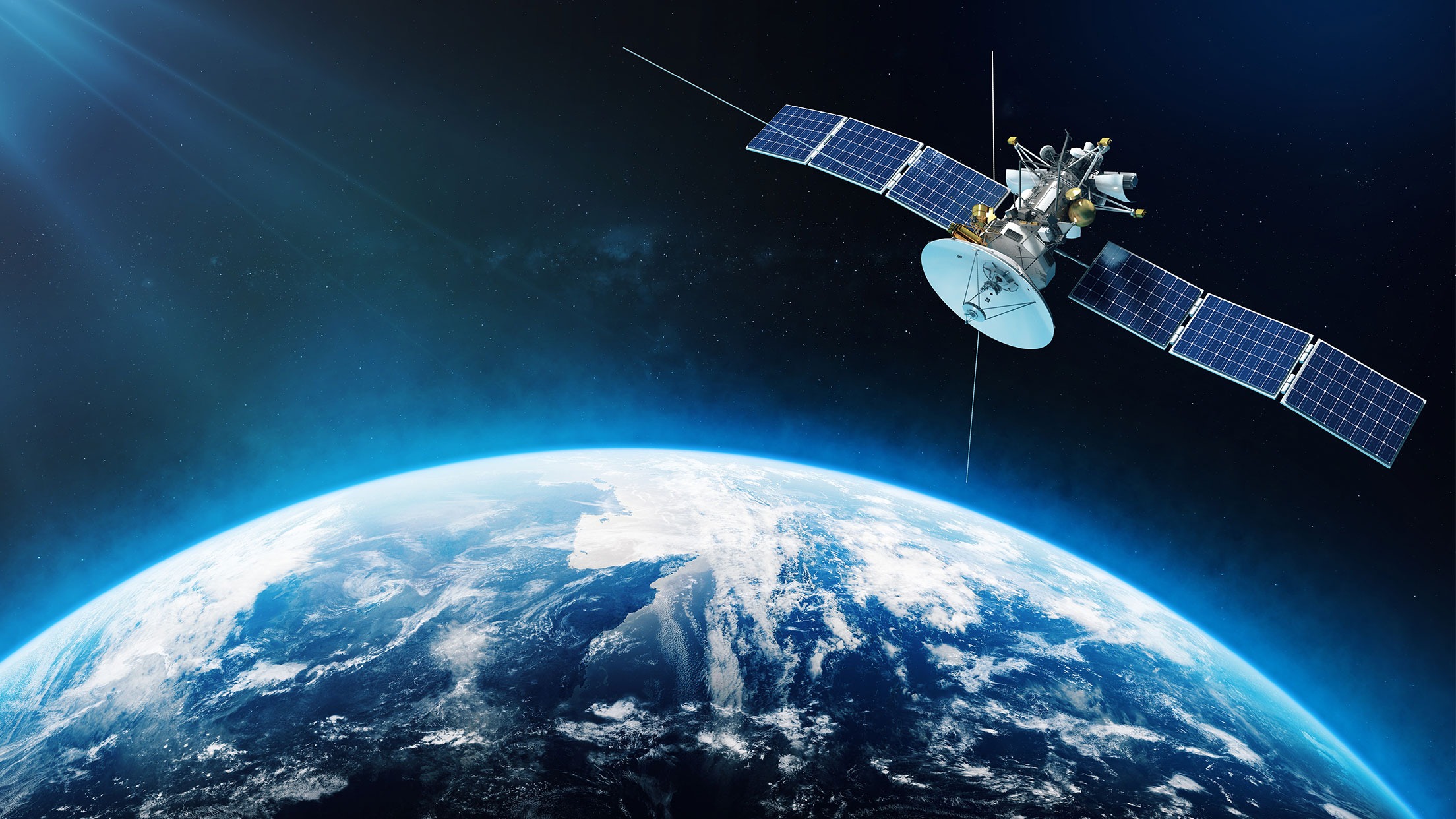
The term “satellite imagery” describes the picture of the Earth’s surface that is taken by imaging satellites in orbit around the planet where these satellites collect…
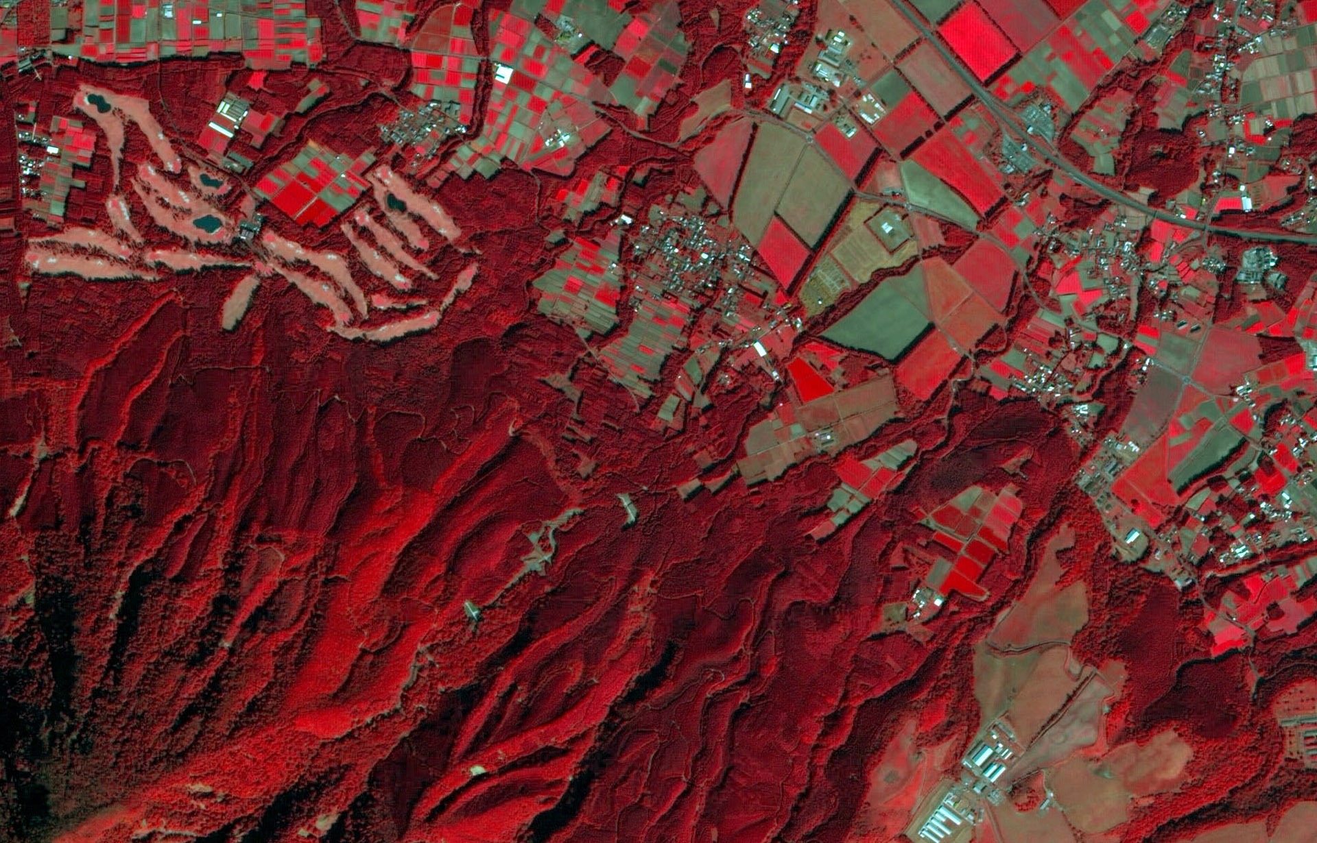
Our everyday lives now wouldn’t be the same without satellite maps which offer a multitude of information for anything from environmental monitoring to navigation where satellite…
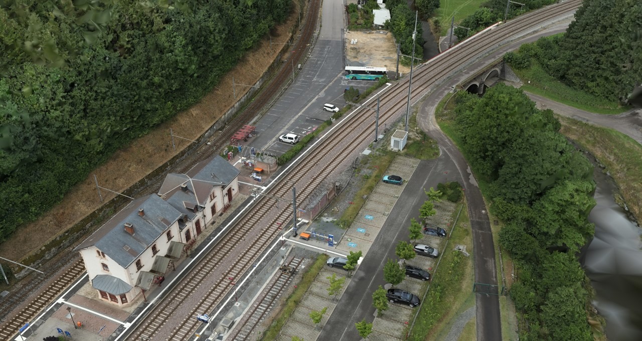
Aerial photogrammetry is a cutting-edge method in Geographic Information Systems (GIS) that enhances mapping and spatial analysis with never-before-seen precision and efficiency and this cutting-edge technique…
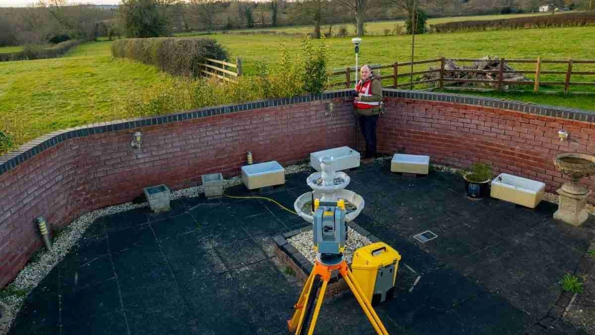
A topographical survey is an intricate mapping procedure that records and depicts a landscape’s physical characteristics encompassing both natural and artificial components where making an accurate…
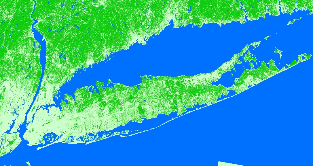
Land Use Land Cover Mapping – The term “land use” describes the uses and operations that are performed on a plot of land including commercial, industrial,…
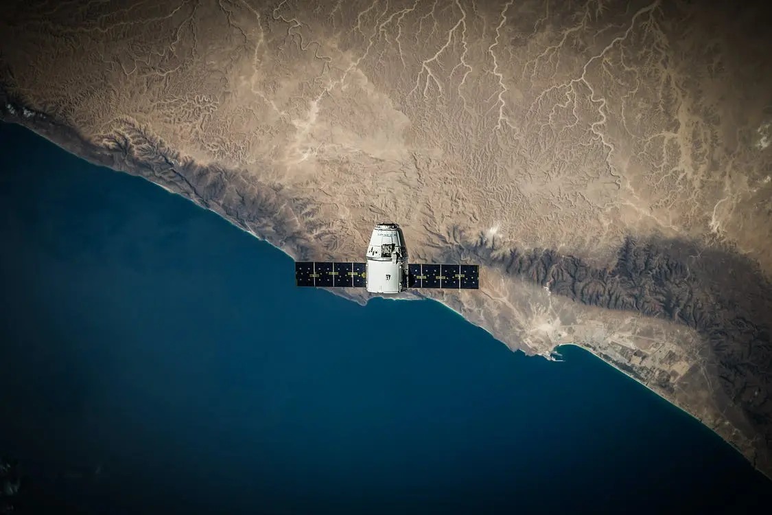
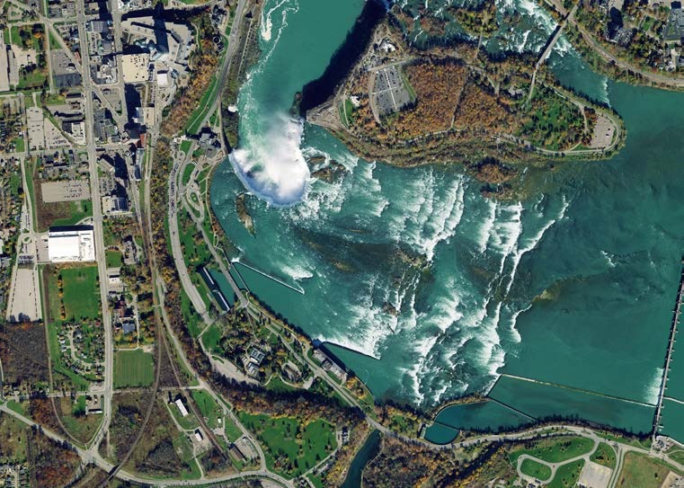
High-resolution satellite imagery obtained by Earth observation satellites allows for the detection and distinction of smaller objects and features on the surface of the planet and…