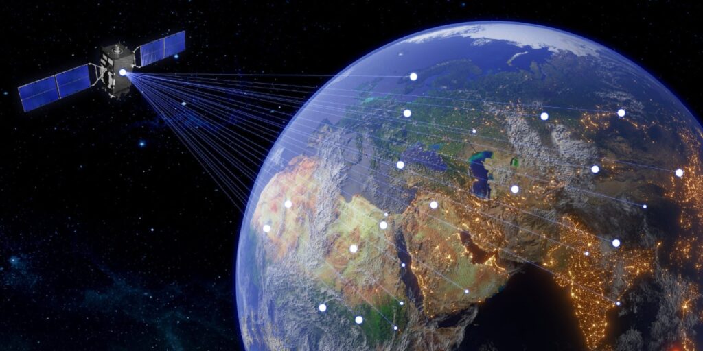
Satellite communication involves the use of artificial satellites to provide communication links between various points on Earth and this technology is crucial for global telecommunications, broadcasting, weather forecasting and navigation. In the context of GIS, satellite communication enables the acquisition, transmission and dissemination of geospatial data which is vital for various applications ranging from environmental monitoring to urban planning.
Key Components of Satellite Communication
Satellites: Artificial satellites used in communication are categorized based on their orbits such as geostationary (GEO), medium Earth orbit (MEO) and low Earth orbit (LEO) where each orbit type has its advantages and is chosen based on the application’s specific requirements.
Ground Stations: These are terrestrial communication facilities that transmit and receive signals from satellites where ground stations play a crucial role in processing and managing data before it is distributed to end-users.
Transponders: These are devices on satellites that receive signals from the Earth, amplify them and retransmit them back to the Earth where transponders are essential for maintaining the quality and strength of the communication signals.
Frequency Bands: Satellite communication operates in various frequency bands such as L-band, C-band, Ku-band and Ka-band where each band offers different characteristics in terms of bandwidth, coverage and susceptibility to atmospheric interference.
Satellite Communication in GIS
Data Acquisition and Transmission: One of the primary applications of satellite communication in GIS is the acquisition and transmission of geospatial data where satellites equipped with remote sensing instruments capture high-resolution imagery and data across large geographic areas. This data is crucial for creating detailed maps and conducting spatial analysis.
Remote Sensing: Remote sensing involves the use of satellite-borne sensors to capture data about the Earth’s surface and this data includes imagery, spectral information and other geophysical parameters. Remote sensing is essential for monitoring environmental changes, natural disasters and land use patterns.
Optical Sensors: These sensors capture visible, infrared and thermal imagery where they are used for applications such as agriculture monitoring, urban planning and environmental conservation.
Radar Sensors: Synthetic Aperture Radar (SAR) sensors provide all-weather, day-and-night imaging capabilities where they are used for applications such as terrain analysis, forestry and maritime surveillance.
Data Processing and Analysis: After acquiring data through remote sensing, GIS professionals use satellite communication to transmit this data to ground stations for processing and analysis where advanced software tools and algorithms are employed to extract meaningful information from raw satellite data.
Geospatial Data Integration: Satellite communication facilitates the integration of various geospatial datasets enabling GIS professionals to create comprehensive and accurate maps. This integration involves combining data from different sources such as satellite imagery, aerial photographs and ground-based surveys.
Spatial Analysis: Spatial analysis involves examining geographic patterns and relationships within geospatial data where satellite communication provides the data necessary for conducting spatial analysis which is essential for applications such as disaster management, resource allocation and infrastructure development.
Satellite Communication Applications
Climate Change: Satellite data is used to monitor changes in temperature, sea levels and greenhouse gas concentrations and this information is vital for understanding the impacts of climate change and developing mitigation strategies.
Biodiversity Conservation: Satellites enable the monitoring of ecosystems and wildlife habitats aiding in the conservation of endangered species and the preservation of biodiversity.
Early Warning Systems: Satellites play a key role in early warning systems for natural disasters such as hurricanes, tsunamis and earthquakes where they provide timely data that enable authorities to issue warnings and evacuate affected areas.
Damage Assessment: After a disaster, satellite imagery is used to assess the extent of damage to infrastructure and natural resources where this information is essential for planning recovery and reconstruction efforts.
Infrastructure Development: Satellites provide data for planning and monitoring infrastructure projects such as roads, bridges and utilities. This information helps ensure that projects are completed efficiently and sustainably.
Land Use Planning: Satellite data is used to analyze land use patterns and make informed decisions about zoning and development which helps balance the needs of urban growth with environmental conservation.
Future Trends in Satellite Communication
Automated Feature Extraction: AI can automate the extraction of features from satellite imagery such as roads, buildings and vegetation. This capability enhances the accuracy and efficiency of GIS applications.
Predictive Analytics: AI-powered predictive analytics can forecast future trends and events based on historical satellite data. This capability is valuable for applications such as climate modeling, disaster prediction and urban planning.
Remote Monitoring: Satellite communication enables the remote monitoring of IoT devices in areas with limited terrestrial connectivity. This capability is valuable for applications such as agriculture, forestry, and infrastructure management.
Data Integration: Satellites provide the connectivity needed to integrate IoT data with other geospatial datasets, enabling comprehensive analysis and decision-making.
High-Resolution Imaging: New satellite sensors offer higher-resolution imaging, enabling more detailed mapping and analysis. This capability is valuable for applications such as precision agriculture, urban planning, and environmental monitoring.
Hyperspectral Imaging: Hyperspectral sensors capture data across a wide range of wavelengths, providing detailed information about the composition and condition of Earth’s surface. This capability is valuable for applications such as mineral exploration, vegetation analysis, and water quality assessment.
Satellite communication is a vital component of the GIS industry, providing essential data and connectivity for a wide range of applications. Despite the challenges of data volume, connectivity, and cost, advancements in technology and collaborative efforts are addressing these issues and unlocking new opportunities. As satellite communication continues to evolve, it will play an increasingly important role in enhancing the capabilities of the GIS industry and addressing global challenges.


