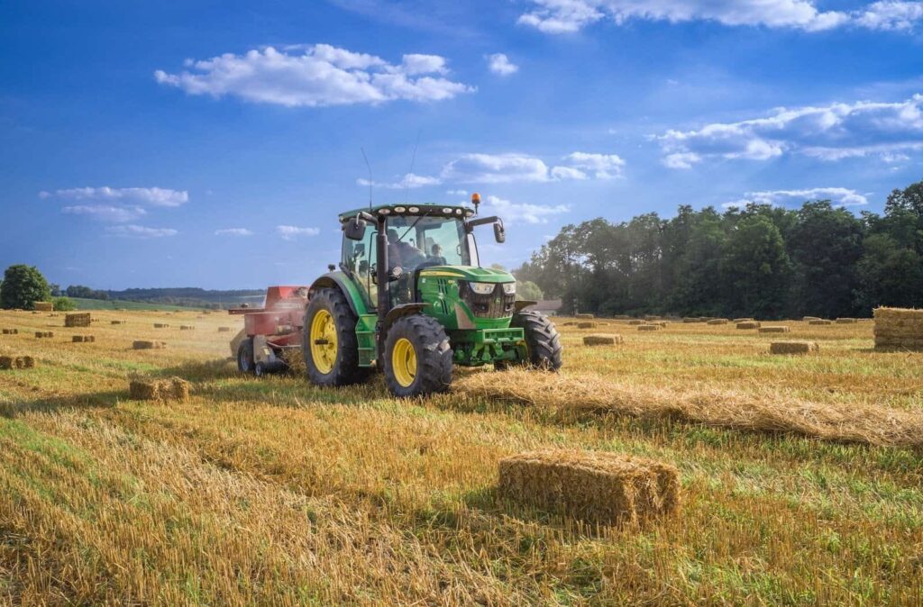
Spatial and geographical data can be captured, stored, analyzed and visualized using GIS technology and to provide a thorough picture of agricultural landscapes, GIS integrates various data sources including satellite imagery, GPS, weather data, soil information and crop yield statistics. Thanks to this spatial intelligence, precision agricultural techniques are made possible by farmers’ ability to understand soil fertility, moisture content, crop health and environmental factors.
GIS Application in Agriculture
Precision Agriculture: By allowing farmers to customize their farming methods to particular field circumstances, GIS makes precision agriculture possible where farmers can identify management zones within their fields by using thorough spatial analysis, taking into account topography, soil characteristics and past yield data.
Crop Management and Health Monitoring: Throughout the growing season, GIS is essential for keeping an eye on the health and growth of crops where farmers can identify early indicators of disease, stress or nutritional deficits in crops through the analysis of satellite imagery and drone data.
Land Use Planning: GIS helps farmers make strategic choices about how to use their land and what crops to plant where farmers can evaluate elements like soil appropriateness, slope and closeness to water sources by superimposing multiple geographical datasets to identify the best crops for various parts of their farms.
Water Management: Sustainable agriculture depends on effective water management, particularly in areas where water is scarce and where farmers can recognize crop water stress, study hydrological patterns and keep an eye on soil moisture levels thanks to GIS.
Benefits and Use Cases of GIS in Agriculture
Enhanced Productivity: GIS assists farmers in increasing yields and enhancing farm profitability by implementing precision agriculture techniques and optimizing resource allocation.
Resource Efficiency: By allowing the targeted application of inputs like water, pesticides and fertilizers, GIS minimizes waste and lessens its negative effects on the environment.
Enhanced Decision-Making: Throughout the farming cycle, GIS gives farmers access to tools and actionable information that facilitate informed decision-making.
Sustainability: GIS helps ensure the long-term viability of agricultural systems by supporting sustainable farming techniques like conservation tillage, water conservation and biodiversity preservation.
What is the Future of GIS in Agriculture?
Remote Sensing Integration: To collect data on crop health, soil moisture and environmental conditions in real-time, future GIS systems will seamlessly integrate remote sensing technologies.
Data Fusion: The future of GIS in agriculture will be powered by the convergence of diverse data sources such as satellite images, drones and Internet of Things sensors, offering thorough insights for decision-making.
Machine Learning Algorithms: To help with crop planning and risk reduction, advanced GIS platforms will use machine learning algorithms to evaluate large datasets and forecast agricultural outcomes more accurately.
Spatial Analysis for Resource Allocation: GIS will be essential in the spatial allocation of resources like pesticides, fertilizers and water to optimize their distribution according to crop needs and environmental considerations.
How Satpalda can Help with GIS Solutions for Agriculture
SATPALDA, a top service provider of Geographic Information Systems provides customized agriculture solutions where SATPALDA supports precision farming, yield estimates and crop health monitoring by analyzing satellite imagery. They optimize farm management decisions by offering insights into land use patterns, water resources and soil quality through the use of GIS techniques like remote sensing and spatial analysis. Farmers can monitor vegetation indicators, identify crop stress and evaluate environmental factors affecting agricultural productivity thanks to SATPALDA’s GIS knowledge. Farmers can improve overall yields and profitability by using their GIS solutions to obtain actionable intelligence for sustainable agricultural practices, crop planning and effective resource management.


