- All Blogs
- Back
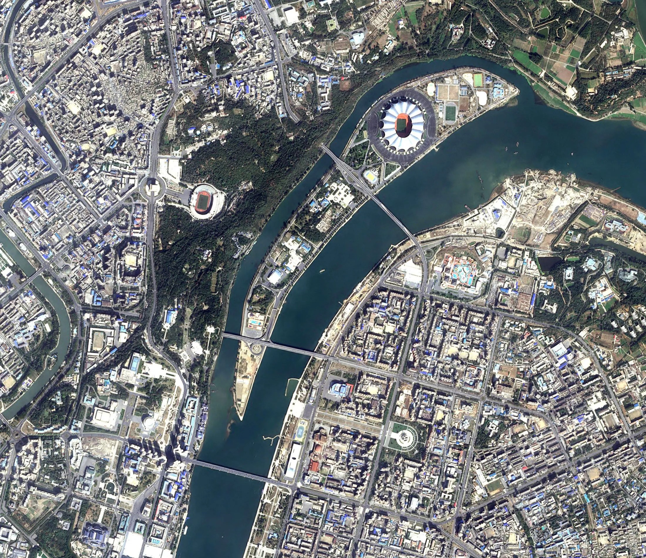
In Geographic Information Systems, satellite remote sensing has become a ground-breaking technology that is revolutionizing how we view and manage our globe. This cutting-edge method uses…
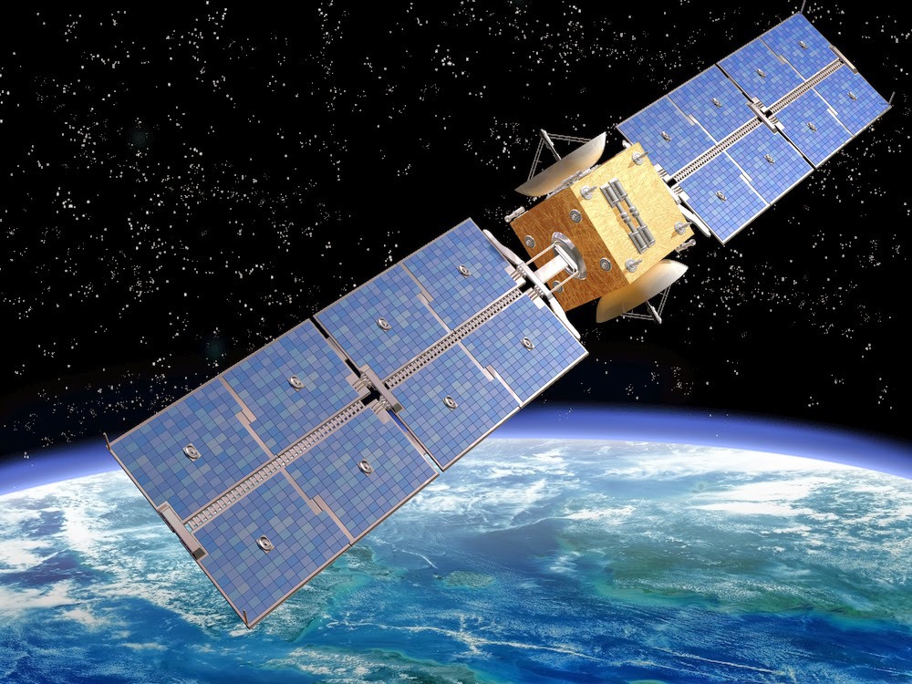
The persistent pursuit of state-of-the-art satellite technology in the field of Geographic Information Systems (GIS) has given rise to innovative platforms, with KazEOSat leading the way.…
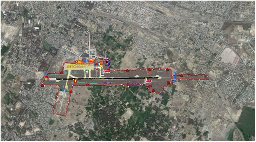
In the fast-paced world of aviation, accuracy and safety are critical. Accurate and current geographical information is critical to the aviation industry’s ability to navigate…
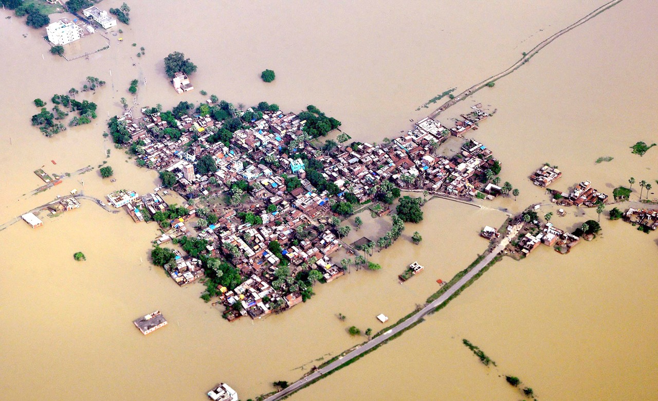
At a time when technology continues to redefine human capabilities, satellite imagery stands out as a crucial tool in disaster management. Satellite imagery and unmanned aerial…
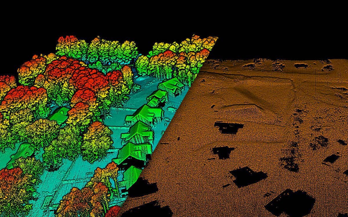
Precise terrain representation is critical to a wide range of Geographic Information Systems (GIS) applications, from environmental modeling to infrastructure development. Digital Terrain Models (DTM) and…
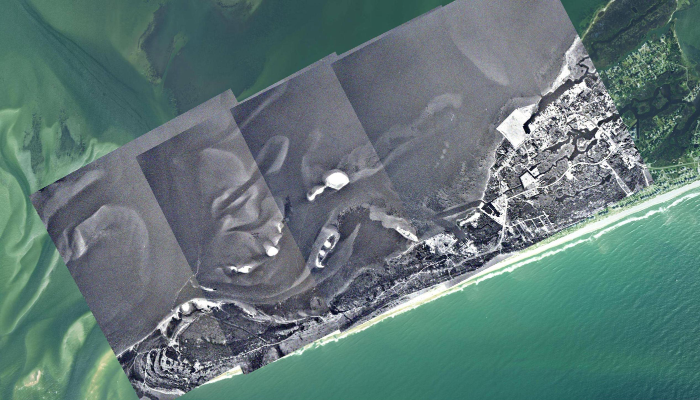
Geographic Information Systems (GIS) provide unmatched insights into the physical world and have completely changed how we study and interpret spatial data. Aerial triangulation is one…

Digital Surface Models (DSM) are becoming an indispensable tool in the field of Geographic Information Systems (GIS), offering a three-dimensional view of spatial data analysis. The…