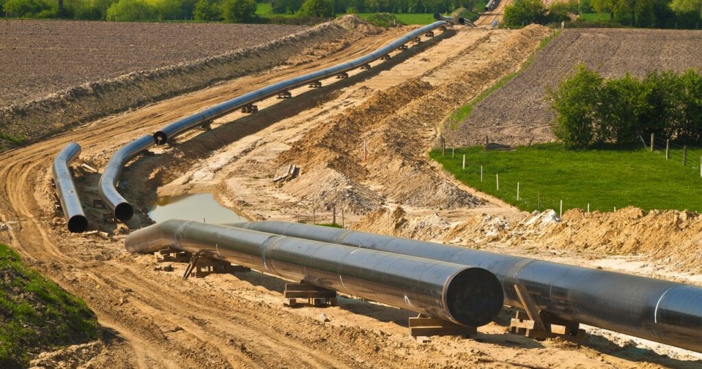
The efficient and secure transportation of oil and gas through pipelines is crucial and as the network of pipelines continues to expand globally, the need for robust monitoring and surveillance systems becomes paramount. GIS technology has emerged as a powerful tool in this regard providing a comprehensive solution for pipeline operators to ensure the integrity and safety of their infrastructure. At its core, GIS integrates geographical data and spatial analysis to provide valuable insights for decision-making and in the context of pipeline monitoring, GIS serves as the backbone for creating a spatial database that encompasses the entire pipeline network. This spatial database incorporates diverse datasets, such as topography, land use, environmental conditions, and existing infrastructure. This comprehensive GIS framework enables operators to visualize, analyze and interpret data, facilitating informed decision-making in real time.
Real-Time Monitoring and Data Integration
One of the key advancements in pipeline surveillance is the integration of real-time monitoring systems into GIS platforms. Advanced sensors, including satellite imagery, drones, and IoT devices, continuously gather data along the pipeline route. This real-time data is then seamlessly integrated into the GIS framework, providing operators with up-to-the-minute information on various parameters, including temperature, pressure, flow rate, and environmental conditions. Through the integration of real-time data, GIS allows operators to identify anomalies or potential issues promptly. For instance, sudden changes in temperature or pressure can be indicative of leaks or structural weaknesses. GIS tools enable operators to visualize these changes spatially, pinpointing the exact location and facilitating rapid response measures.
Predictive Analytics and Risk Assessment: GIS technology plays a crucial role in predictive analytics for pipeline monitoring. By analyzing historical data and incorporating machine learning algorithms, GIS platforms can predict potential risks and vulnerabilities along the pipeline route. This proactive approach allows operators to implement preventive measures, reducing the likelihood of accidents and minimizing downtime. Risk assessment within GIS involves the analysis of multiple layers of data, including the proximity to population centers, environmental sensitivity, and geological factors. Through spatial analysis, GIS can identify high-risk areas and prioritize them for regular monitoring and maintenance activities. This approach enhances the overall safety and reliability of the pipeline infrastructure.
Emergency Response Planning: GIS is instrumental in developing comprehensive emergency response plans for pipeline incidents. In the event of a leak or other emergency, GIS platforms provide real-time information on the affected area, allowing emergency responders to quickly assess the situation and plan an effective response. The GIS framework incorporates data on surrounding infrastructure, road networks, and evacuation routes. This spatial information enables responders to navigate the terrain efficiently and evacuate affected areas promptly. Furthermore, GIS assists in the coordination of response efforts by providing a centralized platform for communication and data sharing among relevant stakeholders.
Environmental Monitoring and Compliance: Environmental stewardship is a critical aspect of pipeline operations, and GIS technology contributes significantly to environmental monitoring and compliance. GIS platforms enable operators to overlay pipeline routes with ecological data, identifying environmentally sensitive areas and implementing measures to minimize impact. Moreover, GIS facilitates compliance with regulatory requirements by providing a transparent and auditable record of pipeline operations. This includes tracking adherence to safety standards, environmental regulations, and reporting obligations. GIS-generated reports can be instrumental in regulatory submissions, demonstrating a commitment to environmental responsibility and compliance with industry standards.
Integration with Remote Sensing Technologies: The integration of GIS with remote sensing technologies has revolutionized pipeline monitoring. Satellite imagery and aerial surveys, when integrated into GIS platforms, provide high-resolution spatial data that enhances the accuracy of monitoring systems. These technologies offer a bird’s-eye view of the entire pipeline network, enabling operators to detect potential issues such as encroachments, land subsidence, or vegetation encroachment. By regularly updating satellite imagery and aerial surveys, GIS ensures that operators have access to the most current information, aiding in proactive maintenance and risk mitigation. This integration also supports the identification of unauthorized activities near the pipeline, contributing to overall security measures.
Cybersecurity for Pipeline Monitoring: As pipelines become more connected through digital technologies, the importance of cybersecurity in GIS cannot be overstated. Protecting the integrity of the GIS platform is crucial to prevent unauthorized access, data breaches, and potential disruptions to pipeline operations. Advanced encryption methods, secure data transmission protocols, and regular cybersecurity audits are essential components of GIS platforms for pipeline monitoring. Implementing robust cybersecurity measures ensures the confidentiality, integrity, and availability of sensitive pipeline data, safeguarding against cyber threats and potential attacks.
The integration of GIS technology into pipeline monitoring and surveillance has ushered in a new era of efficiency, safety, and environmental responsibility. The real-time monitoring capabilities, predictive analytics, and seamless integration with remote sensing technologies empower pipeline operators to make informed decisions and respond rapidly to emerging issues. As the GIS industry continues to evolve, further advancements in artificial intelligence, machine learning, and data analytics will likely enhance the capabilities of pipeline monitoring systems. The synergy between GIS and pipeline surveillance not only ensures the integrity of the infrastructure but also contributes to a sustainable and secure energy transportation network for the future.


