Remote sensing is a vital technology that revolutionized how we observe, understand, and interact with the Earth’s surface and atmosphere. It encompasses the acquisition, processing, and interpretation of information about objects or areas from a distance, typically through the use of satellite or airborne sensors. The science of remote sensing plays a central role in fields such as geography, environmental science, meteorology, and various applications within Geographic Information Systems (GIS).
Types of Remote Sensing
Passive Remote Sensing: Passive remote sensing systems rely on natural energy, typically the Sun’s radiation, to illuminate the Earth’s surface. Most optical remote sensing systems, such as satellite imaging sensors and aerial cameras, are passive. They capture the energy reflected from the surface during the day when the Sun is present.
Active Remote Sensing: Active remote sensing systems, on the other hand, emit their energy (usually in the form of microwaves or lasers) and measure the backscatter or return of that energy after it interacts with the surface. These systems can function day and night and are less affected by atmospheric conditions like clouds or fog.
Remote Sensing Platforms
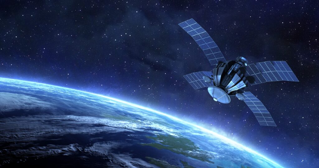
Satellite Platforms: Satellites are widely used in remote sensing because of their ability to cover large areas over regular time intervals. Satellite orbits can be geostationary, remaining fixed relative to the Earth’s surface, or polar-orbiting, passing over the poles and covering the entire Earth’s surface as the planet rotates.
Airborne Platforms: Airborne remote sensing involves sensors mounted on aircraft, drones (UAVs), or balloons. This method allows for higher spatial resolution and flexibility in the area and timing of the data collection, making it suitable for detailed mapping and site-specific studies.
Applications of Remote Sensing in GIS
Environmental Monitoring: One of the most prominent uses of remote sensing is in monitoring environmental changes and trends, including deforestation, desertification, water quality, and biodiversity loss. Remote sensing can track these changes on a global scale, providing critical information for conservation efforts and policy-making.
Disaster Management: Remote sensing is an invaluable tool in disaster management, from predicting and mitigating risks to assessing damage and coordinating relief efforts. Satellites can monitor hurricanes, floods, wildfires, and earthquakes, providing timely data to support emergency response.
Agriculture: Remote sensing allows for precision agriculture, where farmers can monitor crop health, soil moisture, and nutrient levels on a field-by-field basis. Vegetation indices like NDVI can inform irrigation and fertilization practices, improving crop yields and resource efficiency.
Urban Planning and Land Use: Urban planners utilize remote sensing for land use mapping, infrastructure development, and monitoring urban sprawl. High-resolution imagery aids in detecting changes in the built environment, and LiDAR can be used to create detailed 3D models of urban areas.
Climate Change Studies: Remote sensing data is crucial for studying climate change, particularly in tracking global phenomena like sea level rise, glacier melting, and shifting weather patterns. Long-term datasets from satellites like Landsat and Sentinel provide a continuous record of environmental changes over time.
Remote sensing is an indispensable technology that enables us to observe and monitor the Earth’s surface and atmosphere with unprecedented accuracy and scale. Its integration with GIS has further enhanced its capabilities, providing valuable insights for addressing global challenges, from environmental degradation to urbanization and disaster management. As technology advances, remote sensing will continue to evolve, playing a crucial role in sustainable development and resource management in the 21st century.


