GIS is a technology that enables the collection, analysis and visualization of spatial data and in the context of disaster management, GIS helps in mapping hazards, assessing vulnerabilities and coordinating response efforts. The technology leverages various data sources including satellite imagery, sensor networks and field surveys to create dynamic maps and models that support decision-making at all stages of disaster management.
Applications of GIS in Disaster Management
Hazard Mapping and Risk Assessment- GIS is crucial in identifying and mapping natural hazards such as earthquakes, floods, hurricanes and wildfires and by analyzing historical data and environmental conditions, GIS can predict the likelihood of future events and their potential impact. For example, flood risk maps can be generated using hydrological models and topographic data to identify areas prone to inundation.
Emergency Preparedness and Planning- Effective disaster preparedness involves creating comprehensive plans that consider various scenarios where GIS supports this by enabling scenario modeling and simulation. Emergency planners can use GIS to design evacuation routes, allocate resources and establish emergency shelters. Additionally, GIS-based drills and training exercises help responders practice and refine their skills in a controlled environment.
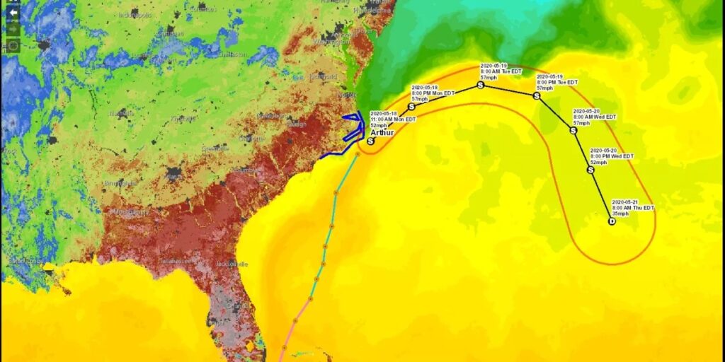
Real-Time Monitoring and Early Warning Systems- One of the most significant advantages of GIS in disaster management is its ability to integrate real-time data from multiple sources where this capability is essential for early warning systems that alert communities to impending threats. For instance, GIS can process data from weather stations, seismic sensors and social media to provide timely updates on storm tracks, earthquake epicenters and other hazards.
Disaster Response and Recovery- During and after a disaster, GIS aids in coordinating response efforts and assessing damage where emergency responders can use GIS to navigate affected areas, locate survivors and deliver aid. Post-disaster, GIS helps in damage assessment by comparing pre-and post-event imagery facilitating the allocation of resources for rebuilding and recovery efforts.
Technical Components of GIS in Disaster Management
Data Collection and Integration- GIS relies on accurate and up-to-date data from various sources where remote sensing technologies such as satellites and drones provide high-resolution imagery and environmental data. Ground-based sensors and IoT devices offer real-time information on weather conditions, air quality and other critical parameters and integrating these diverse data streams into a GIS platform ensures a comprehensive understanding of the disaster landscape.
Spatial Analysis and Modeling- Spatial analysis is a core function of GIS enabling the examination of geographical patterns and relationships and in disaster management, spatial analysis involves overlaying different data layers such as population density, infrastructure and hazard zones to assess risk and vulnerability. Advanced modeling techniques including hydrological, seismic and climate models simulate disaster scenarios and predict their impacts.
Visualization and Mapping- Effective communication of complex data is vital in disaster management where GIS excels in creating intuitive maps and visualizations that convey critical information to decision-makers and the public. Interactive maps, 3D models and dashboards allow users to explore data dynamically facilitating better understanding and faster response.
Decision Support Systems- GIS-based decision support systems (DSS) integrate data, models and analytics to provide actionable insights where these systems help emergency managers evaluate different response strategies, optimize resource allocation and monitor ongoing operations. By providing a holistic view of the disaster situation, GIS-based DSS enhances situational awareness and supports informed decision-making.
Benefits of GIS in Disaster Management
Enhanced Situational Awareness- GIS provides a comprehensive view of the disaster landscape integrating data from various sources into a unified platform and this enhanced situational awareness enables emergency managers to understand the scope and scale of the disaster, identify critical areas and prioritize response efforts.
Improved Decision-Making- By providing real-time data, advanced analytics and visualization tools, GIS supports informed decision-making where emergency managers can evaluate different scenarios, assess risks and develop effective response strategies. GIS-based decision support systems streamline the decision-making process reducing response times and improving outcomes.
Efficient Resource Allocation- GIS helps optimize the allocation of resources such as personnel, equipment and supplies and by analyzing spatial data on population density, infrastructure and hazard zones, GIS ensures that resources are directed to the most critical areas. This efficiency is crucial in minimizing the impact of disasters and accelerating recovery efforts.
Community Engagement and Communication- GIS facilitates communication and engagement with the public and other stakeholders where interactive maps and dashboards provide real-time updates on disaster status helping communities stay informed and take appropriate actions. GIS also supports public education and awareness campaigns promoting preparedness and resilience.
GIS has transformed disaster management by providing powerful tools for hazard mapping, risk assessment, emergency preparedness, real-time monitoring and response coordination. Its ability to integrate diverse data sources, perform spatial analysis and create dynamic visualizations has revolutionized how agencies understand and mitigate the impacts of disasters. As GIS continues to evolve, it will play an increasingly vital role in safeguarding communities and enhancing global disaster management efforts.


