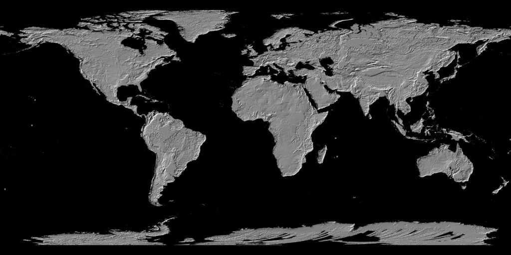
A Digital Elevation Model is essentially a raster dataset that stores elevation data for a geographic region. Each pixel (or cell) in the raster contains a value representing the elevation at that specific location. DEMs are typically represented as a grid, with rows and columns corresponding to latitude and longitude. The resolution of the DEM as defined by the size of the pixel or grid cell dictates the accuracy and level of detail available in the dataset. Higher-resolution DEMs have smaller grid cells and provide more detailed representations of the terrain.
DEM Data Sources
Remote Sensing: Satellites and aerial platforms equipped with sensors can capture data to produce DEMs. One of the most widely known sources is the Shuttle Radar Topography Mission (SRTM), which generated DEMs for much of the world using synthetic aperture radar (SAR). Another notable source is ASTER (Advanced Spaceborne Thermal Emission and Reflection Radiometer), which also provides global DEM coverage.
LiDAR (Light Detection and Ranging): LiDAR is a laser-based technology used to collect highly accurate elevation data. By emitting laser pulses and measuring the time it takes for them to return to the sensor after reflecting off the surface, LiDAR systems can generate precise 3D point clouds. These point clouds are then interpolated to create detailed DEMs. LiDAR is highly regarded for its ability to penetrate vegetation, making it a reliable source for generating DTMs in forested areas.
Photogrammetry: This method uses high-resolution imagery captured from aerial or satellite platforms. By analyzing the parallax between images taken from different angles, photogrammetry can generate 3D models of terrain. While photogrammetry can achieve good results in open areas, it is less effective in areas with heavy vegetation or complex urban environments.
Ground-based Surveys: Traditional surveying methods, such as total stations and GPS (Global Positioning System) surveying, are still used for generating DEMs, particularly for small-scale, high-precision projects. These surveys can offer the most accurate data but are labor-intensive and limited in coverage.
Applications of Digital Elevation Maps
Hydrological Modeling: DEMs are extensively used in hydrological applications to model watersheds, simulate surface water flow, and predict flooding. By analyzing the slope, aspect, and flow accumulation, GIS software can delineate watersheds and determine water flow paths, which is critical for flood risk management, water resource planning, and erosion modeling.
Terrain Analysis: DEMs enable terrain analysis to calculate attributes such as slope, aspect (the direction the slope faces), and curvature. These parameters are essential for environmental modeling, soil analysis, and land use planning. For example, slope analysis is used to assess landslide risk, while aspect analysis is important for understanding solar radiation exposure, which influences vegetation growth and habitat suitability.
Urban Planning and Development: DEMs are used in urban planning to model land surfaces for infrastructure development, site suitability analysis, and zoning. They are essential for 3D city modeling, solar potential analysis (for placing solar panels), and flood risk assessment in urban environments.
Disaster Risk Management: DEMs play a crucial role in assessing risks from natural disasters such as landslides, floods, and earthquakes. They are used to model terrain stability, identify high-risk areas, and simulate the impacts of potential disasters. For instance, DEMs can be used to simulate tsunami wave propagation and predict the areas that will be affected by inundation.
Environmental Conservation: In ecology and conservation, DEMs are used to model habitats, predict species distribution, and analyze the impacts of climate change on ecosystems. For example, slope and aspect derived from DEMs can be used to determine suitable habitats for certain plant and animal species, as these factors influence temperature and moisture conditions.
Transportation and Infrastructure: DEMs are vital for the design and construction of transportation networks, such as roads, railways, and airports. They help in determining the optimal routes, calculating cut-and-fill volumes for road construction, and assessing the visual impact of new infrastructure on the landscape.
Digital Elevation Maps (DEMs) are foundational to the GIS industry, providing the essential elevation data required for a wide array of spatial analyses. Their applications span multiple fields, including environmental conservation, urban planning, hydrology, and disaster risk management. As technology continues to advance, DEMs will become even more accurate and accessible, opening new possibilities for innovation in terrain analysis and geospatial modeling. The future of DEMs promises higher precision, faster updates, and integration with emerging technologies like AI and crowdsourcing, ensuring that they remain a vital tool in the toolkit of geospatial professionals for years to come.


