Temporal Resolution
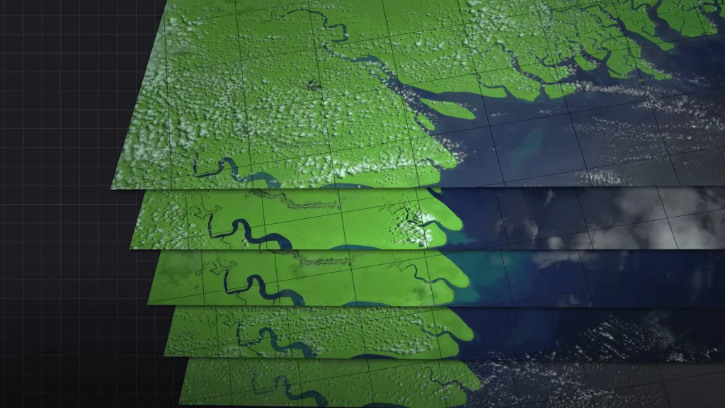
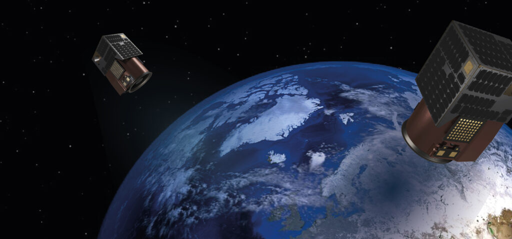
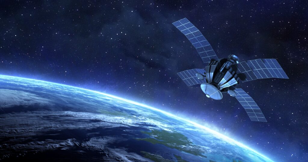
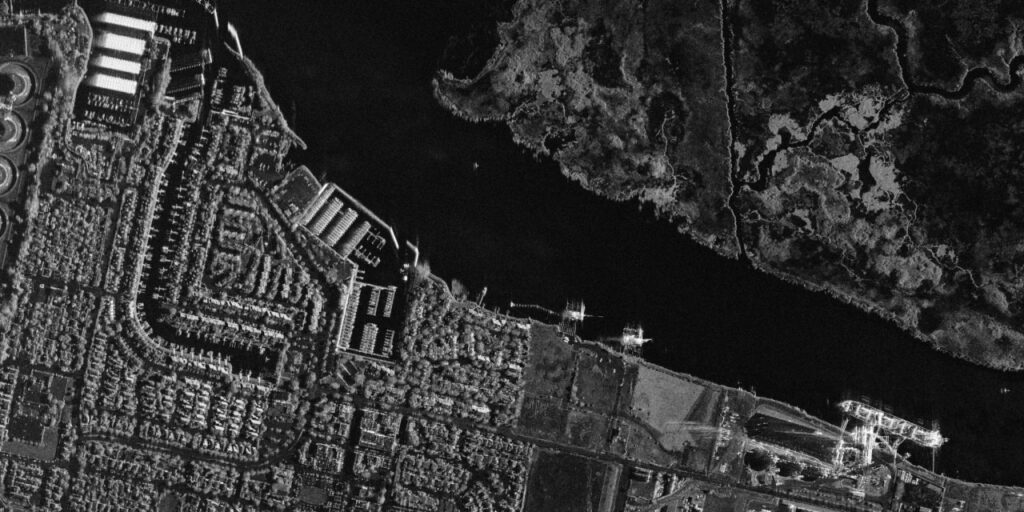
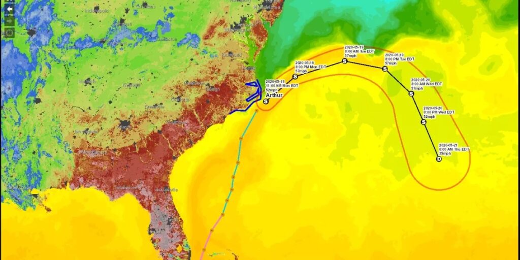
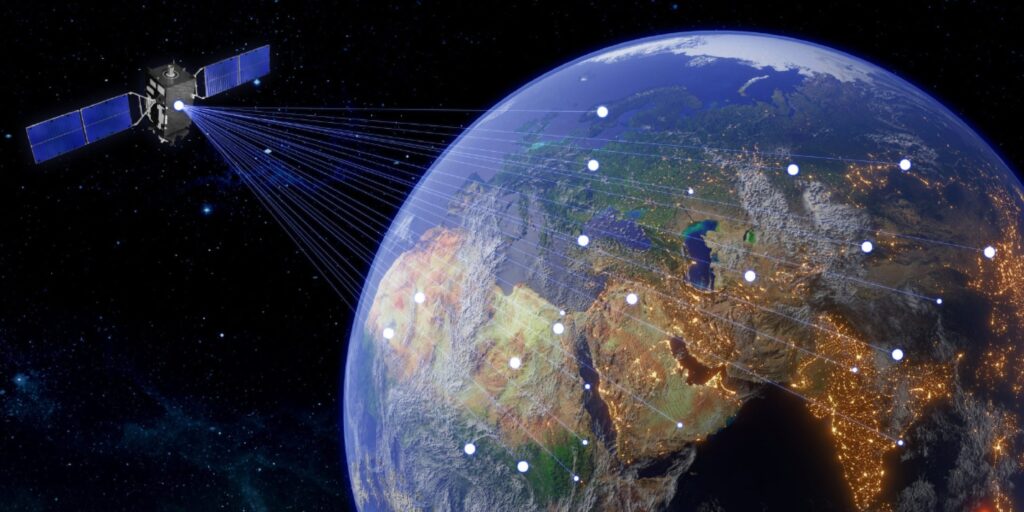
Geographic Information Systems emphasize the importance of the term “temporal resolution.” The frequency at which data has to be captured or observed above a given location on the Earth’s surface is known as temporal resolution. The time gap between two successive images or data acquisitions taken above the same geographic area can be defined as temporal resolution. This has played a crucial role in many applications ranging from environmental monitoring to urban planning, and agriculture. The definition of temporal resolution in remote sensing refers to how many times a sensor can capture information of the same area at different times. Sensors carried onboard satellite or aircraft platforms periodically photograph or measure the Earth, and the time difference between the two observations determines the resolution. High resolution relates to data gathered often and low resolution relates to data gathered sporadically. Why is Temporal Resolution Important? Disaster Management: Such events, such as hurricanes or floods, require a high temporal resolution to monitor the event in real-time. For instance, in a wildfire, it is critical to employ remote sensing systems more frequently to observe changes in the pattern of the fire and update the teams responsible for the emergency response. Satellites, such as NASA’s MODIS (Moderate Resolution Imaging Spectroradiometer), provide near-daily observations, thus offering vital data in such rapidly moving events. Climate Monitoring: Global climate models rely on time-resolution data to track some of the events influencing environmental change, such as sea surface temperature fluctuation and melting of glaciers and vegetation cycles. Sensors such as Landsat and Sentinel 2 provide routine datasets that allow for monitoring environmental long-term alterations over space and time. These are essential observations of seasonal patterns and trends over the long term in weather and climate conditions. Agriculture: One of the critical things in precision agriculture is detailed temporal data to track crop health, water usage, and soil conditions. The farmer will have enough information on the crop growth stages to make timely decisions about irrigation, fertilizer, and pest controls after frequent assessments of the crop growth stages. High-frequency temporal data has put NDVI at the forefront of tools in agriculture, effectively assisting in assessing crop growth stages and early signs of stress. Urban Expansion and Land Use: Temporal data is very instrumental in monitoring changes within urban expansion and land use over time. For instance, high temporal resolution satellite images can be utilized to monitor projects and developments on transportation in the urbanized regions, and population growth among other related changes. Monitoring these early changes informs city planners appropriately on decisions in infrastructure and resource management. Forest Monitoring and Deforestation: High temporal resolution of satellite imagery is vital to closely monitor forest health and detection of deforestation. Though it occurs gradually, the frequent collection of data will enable the forest managers to identify what parts are being threatened and, consequently, take corresponding responses to some extent that may help curb the illegal logging activity. LIDAR and high-temporal resolution imagery are generally used to monitor forest dynamics. Determinants of Temporal Resolution Orbit type: This is, however, a primary characteristic in deciding the temporal resolution. Geostationary satellites, for instance, weather satellites have continuous views of an area and consequently, very high temporal resolution. Satellites in polar orbits pass over an area much fewer times; thus, their temporal resolution is much less. Sun-synchronous orbits – one type of polar orbit – provide regular temporal spacing, but the number of observations varies and generally depends on the specific application. Swath Width: The swath width of a satellite sensor defines the Earth’s surface width, which is covered by the sensor with one pass. Satellites with a wide swath width will cover more ground, and consequently, have shorter revisit times for a particular location while increasing the temporal resolution. However, sometimes this may compromise the spatial resolution. Cloud Cover: Other weather-related effects include cloud cover, which in some ways impacts the temporal resolution of optical remote sensing. While a satellite might image a given location an infinite number of times, particularly dense cloud cover may often be present, meaning that its useful, real-world temporal resolution for optical sensors could be much lower. This is one reason why SARs (Synthetic Aperture Radar), which do not need to cloud-penetrate data-gathering capabilities, are as important for that type of consistent temporal monitoring. Trade-offs in Temporal Resolution In some cases, there is a trade-off between spatial, temporal, and spectral resolutions. For example, a sensor with high spatial and spectral resolution can have relatively low temporal resolution because of large data processing and storage capacity. On the other hand, satellites such as MODIS with rather poor spatial resolution can still possess daily observations with high temporal resolution. This depends on the application of what resolution is most preferred. For instance, if rapid environmental changes are to be monitored, then high temporal resolution is favored and high spatial resolution is not favored. Conversely, if detailed analysis of land cover is a prerequisite, then spatial resolution is favored over temporal resolution. Examples of High Temporal Resolution Satellites MODIS (Moderate Resolution Imaging Spectroradiometer): This sensor is on board the NASA Terra and Aqua Satellites and delivers a daily global dataset. It is one of the most important tools for environmental monitoring. GOES (Geostationary Operational Environmental Satellite): From a Geostationary Orbit, GOES provides a continuous view of weather patterns and atmospheric events in near real-time. Sentinel-2: Sentinel-2 is part of the European Space Agency’s Copernicus Program, providing high spatial and spectral resolution data with a revisit time of five days, which makes it very effective in monitoring the changes in vegetation and land use. Temporal resolution is critical for any GIS and remote sensing data whereby the rate at which data is collected would depend on the temporal resolution. Also, it affects the capacity to monitor changes over time. High temporal resolution will offer dynamic views of the Earth’s surface for disaster management, precision agriculture, and climate studies with timely decision-making and better resource management. It is important to understand detail in
