Applications of Satellite Imagery in Disaster Management
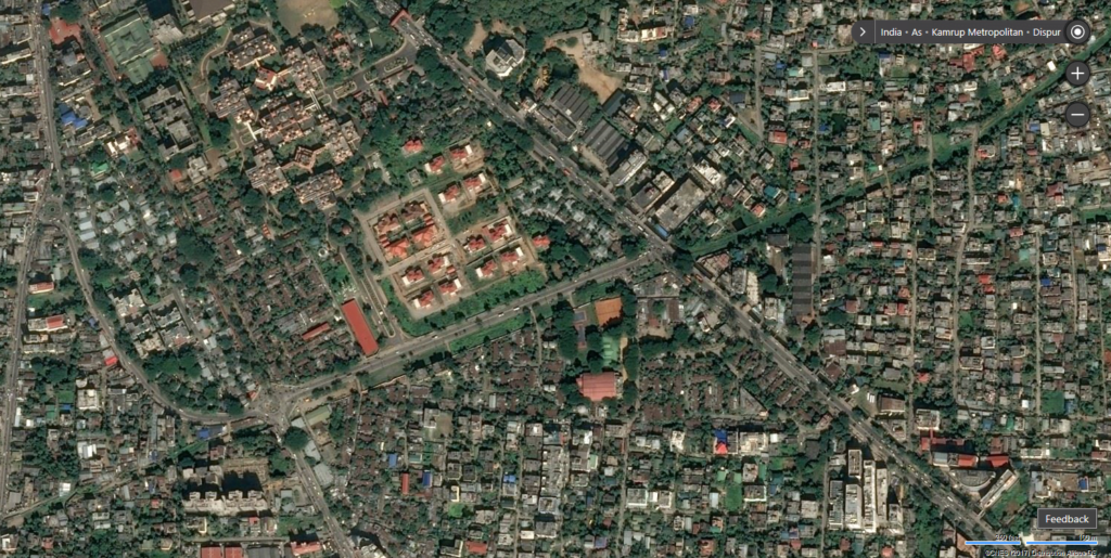
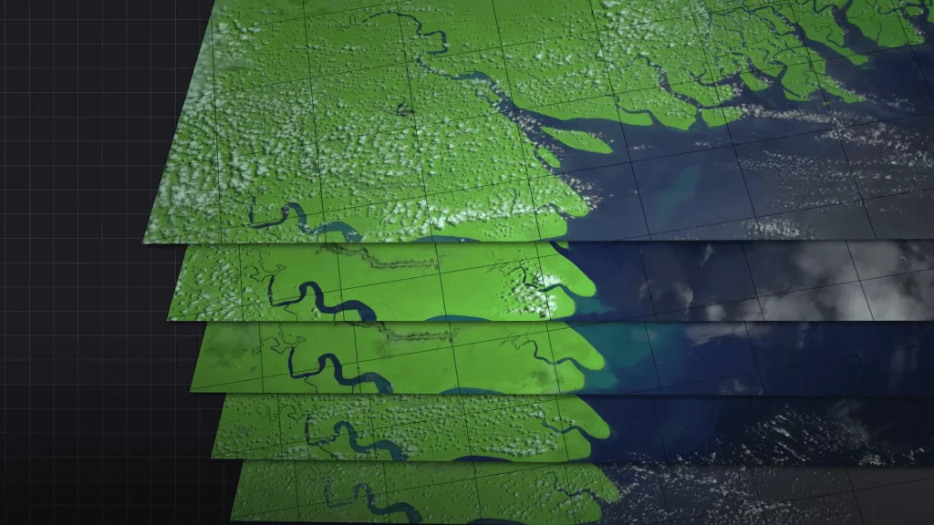
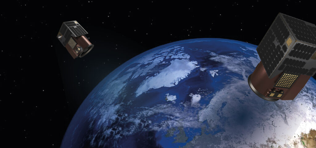
In 2005, Switzerland experienced one of its most devastating floods, leaving vast areas and communities stranded. Emergency response teams struggled to assess the damage. Then came a game-changer: satellite imagery. It provided a bird’s-eye view of the destruction, enabling authorities to allocate resources effectively. Today, satellite imagery plays a pivotal role worldwide in handling disasters. From floods to wildfires, it provides real-time data to save lives. According to a 2023 CSS Policy report, Switzerland’s Rapid Mapping Service relies heavily on satellite imagery for damage assessment. But how exactly does this technology work? Why is satellite imagery vital for saving lives and minimizing losses in disaster management? Let’s explore. What is Satellite Imagery in Disaster Management? Imagine a massive wildfire spreading across California. Traditional monitoring methods might miss its full scope. Satellite imagery, however, captures it all from space. This technology uses Earth Observation (EO) satellites to provide real-time data on land, water, and atmospheric changes. Governments and organizations use this data to prepare for, respond to, and recover from disasters. Satellite imagery in disaster management enhances decision-making. For example, the European Union’s Copernicus Program supplies free satellite data to countries for risk assessment and emergency response. Here’s why this technology is revolutionary: Real-time monitoring for immediate action. Precise data to identify the worst-hit areas. Insights to optimize resource deployment. Preventing Disasters with Satellite Imagery One of the biggest advantages of satellite imagery is its ability to predict and prevent large-scale disasters. For instance, authorities in cyclone-prone regions use satellite data to forecast storms. This data provides accurate information on the storm’s path, speed, and strength. How it works: Satellites detect changes in cloud formations, ocean temperatures, and wind speeds. These details enable meteorologists to issue early warnings. In turn, governments can evacuate vulnerable populations and save thousands of lives. Take the 2019 Cyclone Fani in India. Satellite imagery alerted authorities days in advance, enabling the evacuation of over a million people. This resulted in a drastic reduction in casualties. Key Roles of Satellite Imagery in Preparedness Application Example Scenario Impact Cyclone Forecasting Cyclone Fani, India (2019) Evacuation of 1+ million people Flood Risk Mapping Mississippi River Basin, USA Identified high-risk zones Wildfire Monitoring California Fires (2020) Tracked fire progression Tsunami Early Warnings Indian Ocean (2004) Issued timely alerts Earthquake Hazard Zoning Japan’s National EO Program Minimized infrastructure damage Response: Real-Time Monitoring During Disasters When disaster strikes, speed matters. Delays in decision-making can lead to massive losses. Satellite imagery bridges this gap. It provides up-to-date visuals, allowing authorities to act immediately. For example, during the 2023 Turkey-Syria earthquake, satellites captured images of collapsed buildings and landslides within hours. This data pinpointed the worst-affected areas, helping rescue teams prioritize their efforts. Other examples include: Wildfire Tracking: Satellite imagery detects hotspots and monitors how quickly fires spread. Flood Management: It captures rising water levels and identifies stranded areas for rescue. Hurricane Damage Assessment: Images reveal roof collapses, road blockages, and infrastructure damage. Key Benefits of Real-Time Monitoring Immediate identification of disaster zones. Accurate mapping of affected infrastructure. Better coordination of rescue teams. Minimization of resource wastage. Fast communication between agencies. Lifesaving insights for emergency responders. Recovery: Using Satellite Data to Rebuild Faster Post-disaster recovery is often lengthy and expensive. Satellite imagery helps speed up this process. By comparing pre- and post-disaster images, authorities can prioritize areas for rebuilding. For example, after floods in Germany in 2021, satellite imagery helped assess the damage to highways, homes, and farmlands. Recovery teams could then allocate funds to the hardest-hit areas first. Additionally, governments use satellite data to: Monitor the progress of rebuilding efforts. Plan urban infrastructure to avoid future risks. Ensure funds are spent efficiently. In developing countries, this approach has been particularly useful. Post-disaster imagery supports international funding requests, providing clear evidence of damage. Global Programs Driving Disaster Resilience The success of satellite imagery depends on global collaboration. Programs like the EU’s Copernicus and the UN-SPIDER (United Nations Platform for Space-based Information) ensure countries access to critical satellite data. For example: EU Copernicus: Provides free satellite data to member states for disaster management. NASA’s Landsat Program: Delivers high-resolution imagery for disaster monitoring globally. Sentinel Satellites: Part of Copernicus, these satellites offer specialized data on land, water, and climate. Countries without their own Earth Observation satellites, like Switzerland, benefit greatly from these programs. For instance, Switzerland’s Rapid Mapping Service relies heavily on Copernicus data for disaster recovery efforts. Case Study: Switzerland’s Rapid Mapping Service (RMS) Switzerland has been at the forefront of leveraging satellite imagery for disaster management. After the 2005 floods, the country launched the Rapid Mapping Service (RMS). It utilizes satellite data to assess damage quickly. Here’s how RMS operates: Satellite imagery is used to capture real-time visuals of the affected region. Authorities analyze the images to identify the most critical areas. Rescue teams receive these insights to optimize their operations. However, Switzerland does not have its own satellites. As a result, it depends on global programs like Copernicus. The integration of RMS into Switzerland’s crisis management system has proven highly effective. It serves as a model for other nations to replicate. The Future of Satellite Imagery in Disaster Management As technology advances, satellite imagery continues to improve. New trends include the integration of AI and machine learning to analyze data faster. For example, AI can predict flood patterns based on past satellite images, helping authorities prepare better. Additionally, small satellites (CubeSats) are making it easier for countries to launch affordable EO missions. Programs like SpaceX’s Starlink are also improving real-time communication during disasters. With global partnerships and cutting-edge innovation, the future of satellite imagery in disaster management looks promising. Countries that invest in these tools now will be far better prepared for tomorrow’s emergencies. Final Thoughts Satellite imagery is transforming how we prepare for and respond to disasters. From early warnings to damage recovery, this technology saves lives and minimizes losses. As natural disasters become more frequent, governments must invest in satellite-based solutions. Is your country leveraging satellite data for disaster management yet? If
Applications of Satellite Imagery in Disaster Management Read More »