- All Blogs
- Back
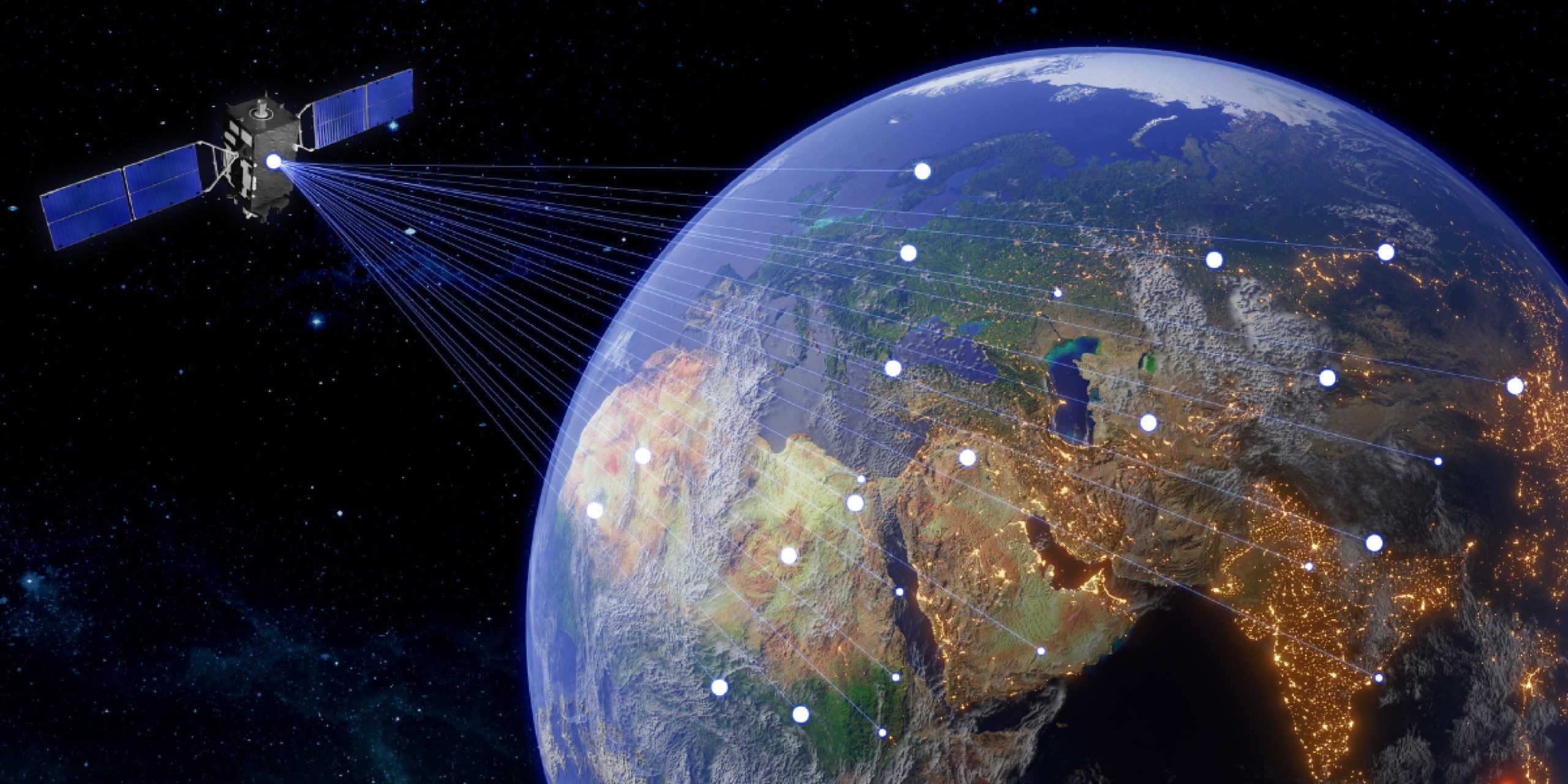
Satellite communication involves the use of artificial satellites to provide communication links between various points on Earth and this technology is crucial for global telecommunications, broadcasting,…
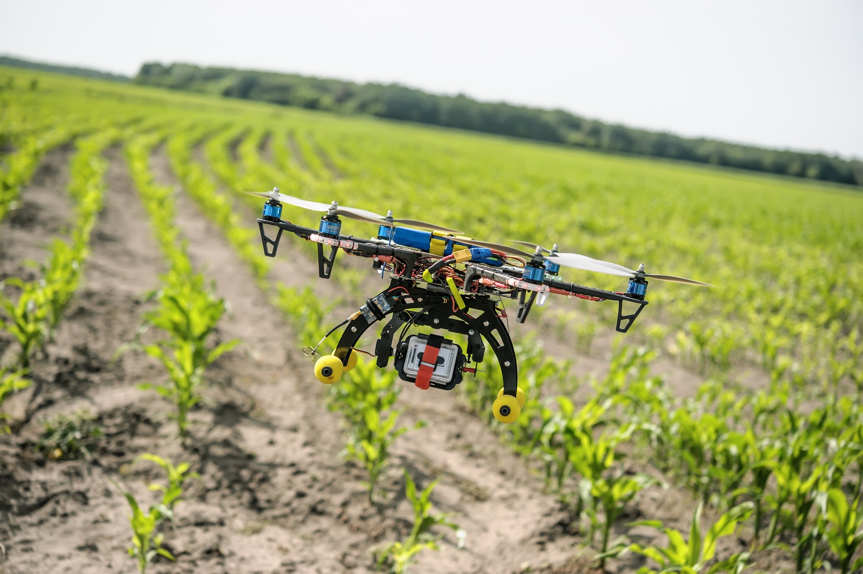
Drones, also known as Unmanned Aerial Vehicles (UAVs), have become increasingly popular in agriculture due to their ability to collect high-resolution aerial data quickly and efficiently.…

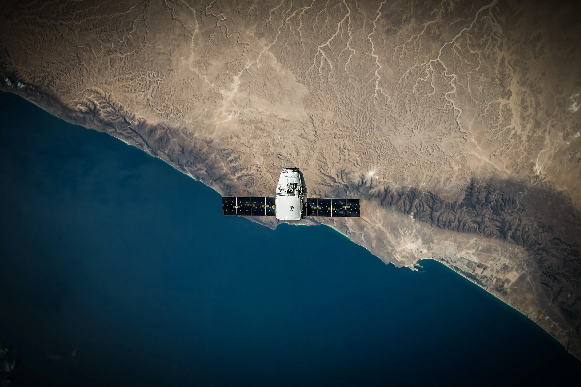
Starlink formerly the SpaceX Starlink project is a massive constellation of tiny satellites whose primary goal is to establish a dependable and easily accessible global broadband…
Our perception and comprehension of our world have been completely transformed by satellite images which is the foundation of the Geographic Information System (GIS) sector and…
Spatial and geographical data can be captured, stored, analyzed and visualized using GIS technology and to provide a thorough picture of agricultural landscapes, GIS integrates various…
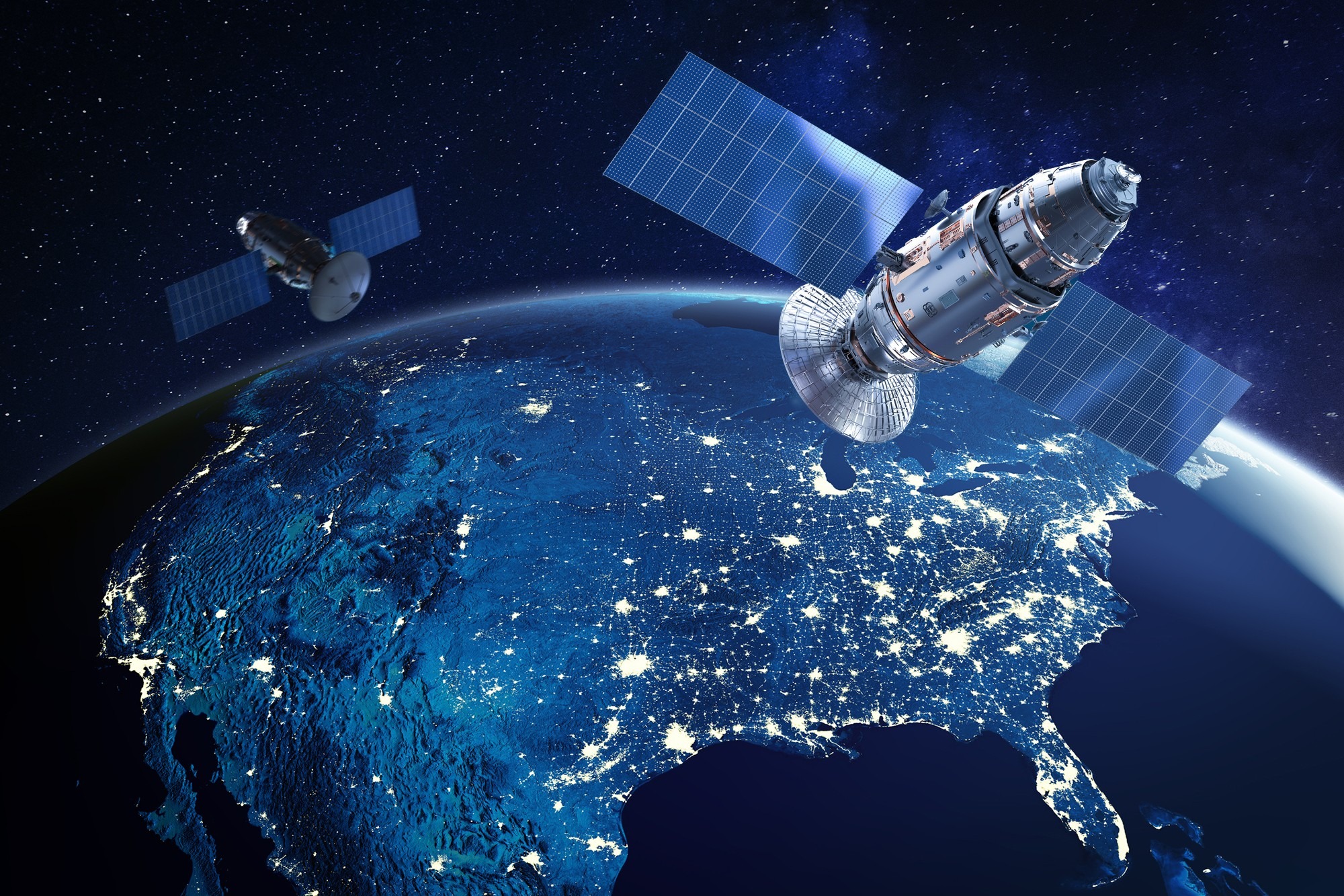
A manmade object positioned in orbit around a celestial body is called a satellite and satellites in orbit around the Earth are outfitted with a variety…

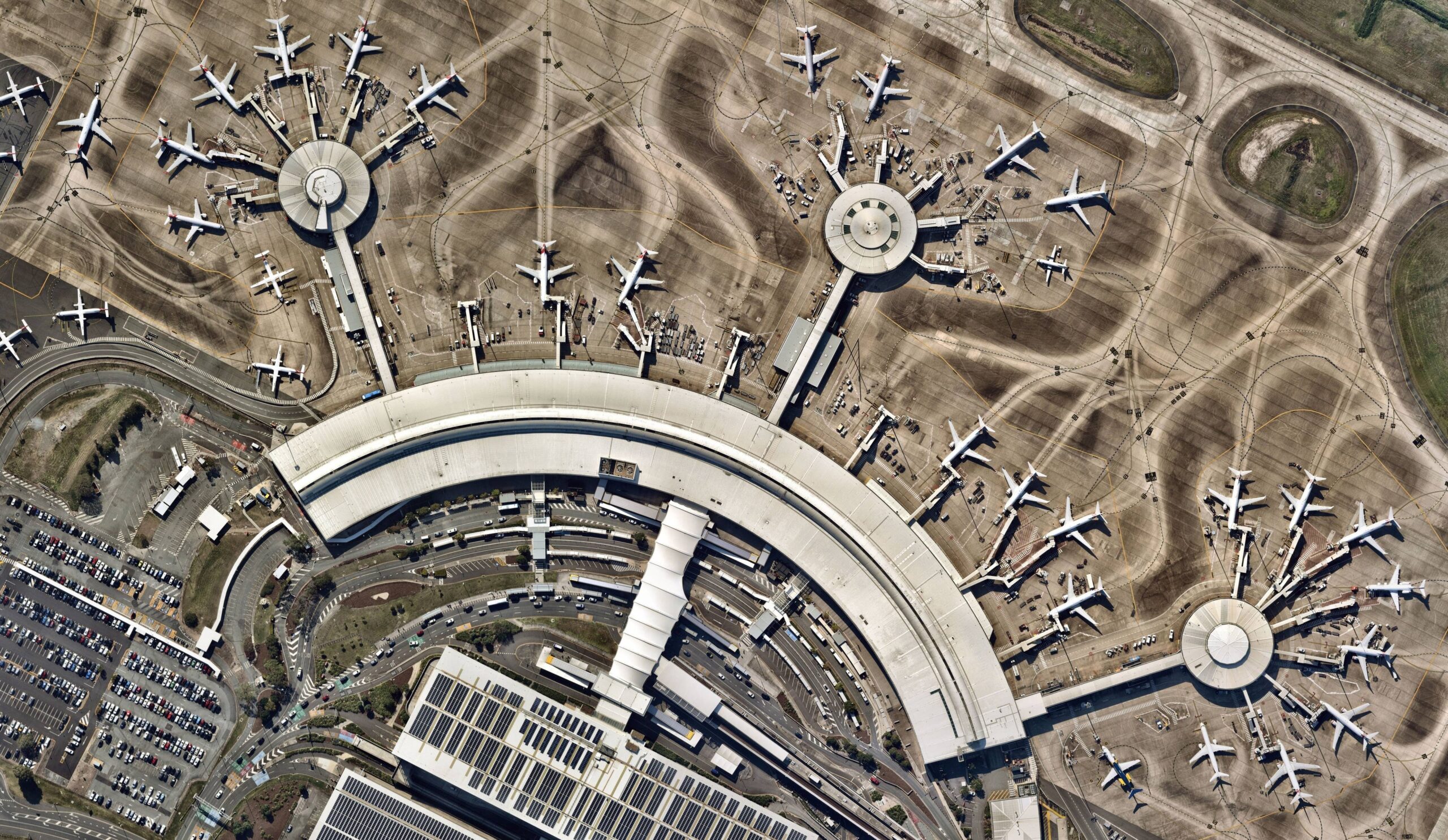
High-resolution imagery refers to images captured by remote sensing devices with a high level of spatial detail where these photos which typically have pixel resolutions ranging…
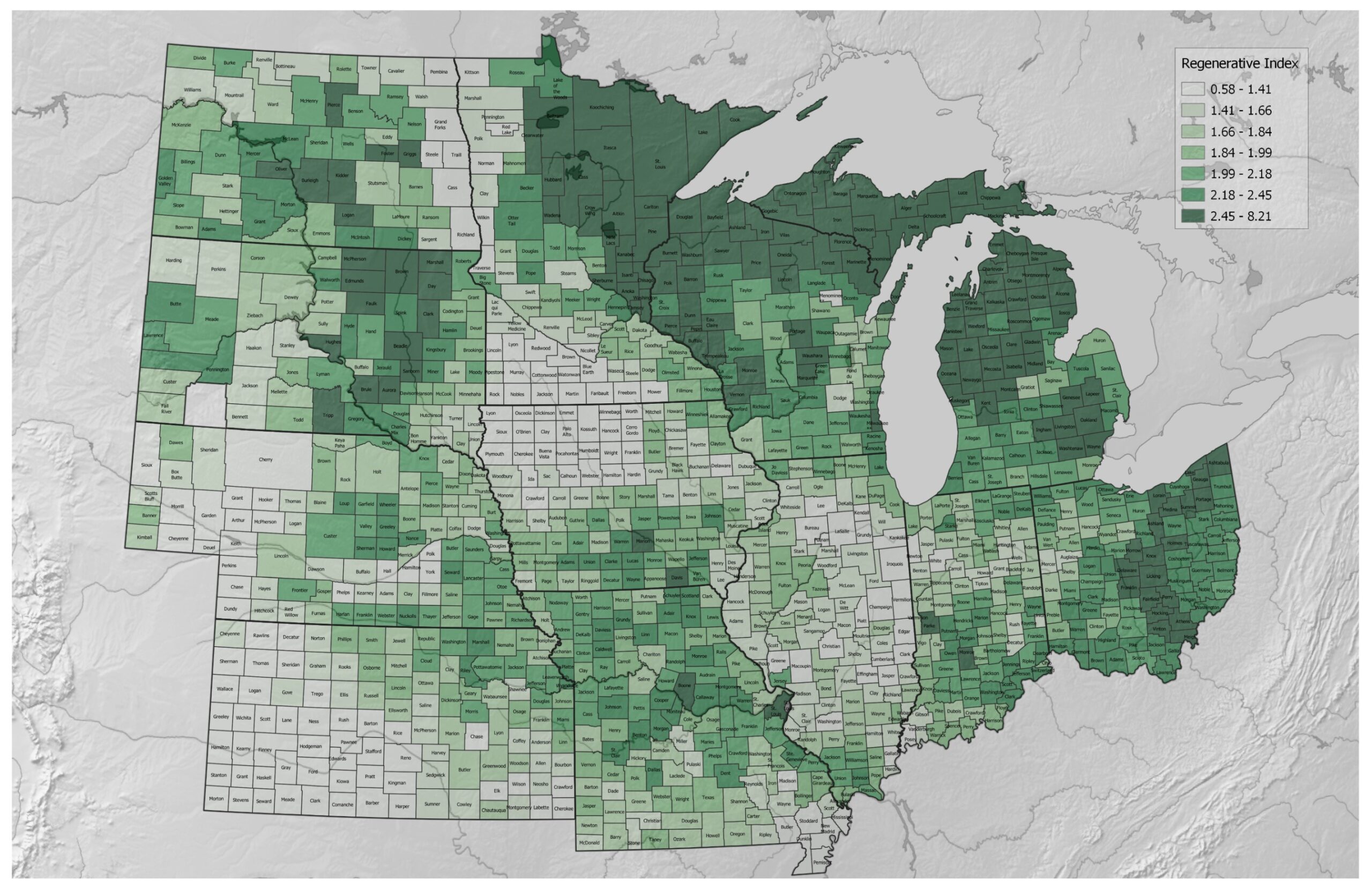
GIS mapping involves the integration of geographic data with various layers of information to create visual representations of agricultural landscapes where these maps are dynamic tools…
Satellite imagery is a key component of the constantly changing field of Geographic Information Systems (GIS) providing an aerial perspective of our world where the uses…