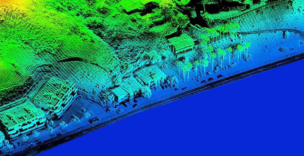
Airborne Laser Terrain Mapping (ALTM): Internationally compliant,cost-efective LiDAR services are provided by SATPALDA. We have a great deal of experience classifying LiDAR point cloud data into many classes, such as bare earth, hydrography, buildings, bridges, pylons, and low- and high-vegetation.high-tension wires and cables, etc. Additionally, we perform planimetric mapping, advanced as built 3D modelling, and flight line correction.
Mobile/Handheld LiDAR: Mobile/Handheld through its high-resolution point cloud data, LiDAR (Light Detrection And Ranging, also known as Lasser scanning or 3D Scanning), delivers precise three-dimensional topographic.
UAV LiDAR: SATPALDA is capable of processing UAV LiDAR data, including flight line correction, point cloud categorization according to feature class, and vectoring them to create 3D city modeling