
WebGIS Development Services for Interactive Geospatial Applications

Build Scalable Web-Based GIS Platforms for Mapping and Spatial Analysis
WebGIS development services enable organizations to build interactive, web-based geospatial applications for mapping, visualization, and spatial data analysis. By integrating GIS, satellite imagery, and modern web technologies, WebGIS platforms provide real-time access to geospatial data from anywhere in the world. These solutions support industries such as urban planning, infrastructure, defence, and environmental monitoring by delivering scalable, user-friendly, and data-driven applications for better decision-making and collaboration.
Solutions
Key Capabilities
Custom WebGIS Application Development
Interactive Web Mapping Solutions
Geospatial Data Visualization Dashboards
GIS Data Integration & APIs
Real-Time Data Monitoring Applications
Cloud-Based WebGIS Solutions
User Access & Role Management
Mobile-Friendly GIS Applications
Custom Web Development for Geospatial Solutions
industries
Applications of WebGIS

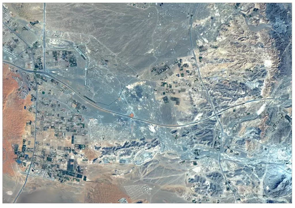
WebGIS in Mining & Resource Management
Track mining activities, manage spatial data, and monitor resources using centralized web-based GIS applications.
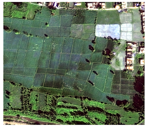
WebGIS in Agriculture
Monitor crop health, manage farmland data, and visualize agricultural insights through interactive web-based GIS platforms.
WebGIS in Defence & Intelligence
Enable real-time situational awareness, data sharing, and spatial analysis for defence operations and security monitoring.
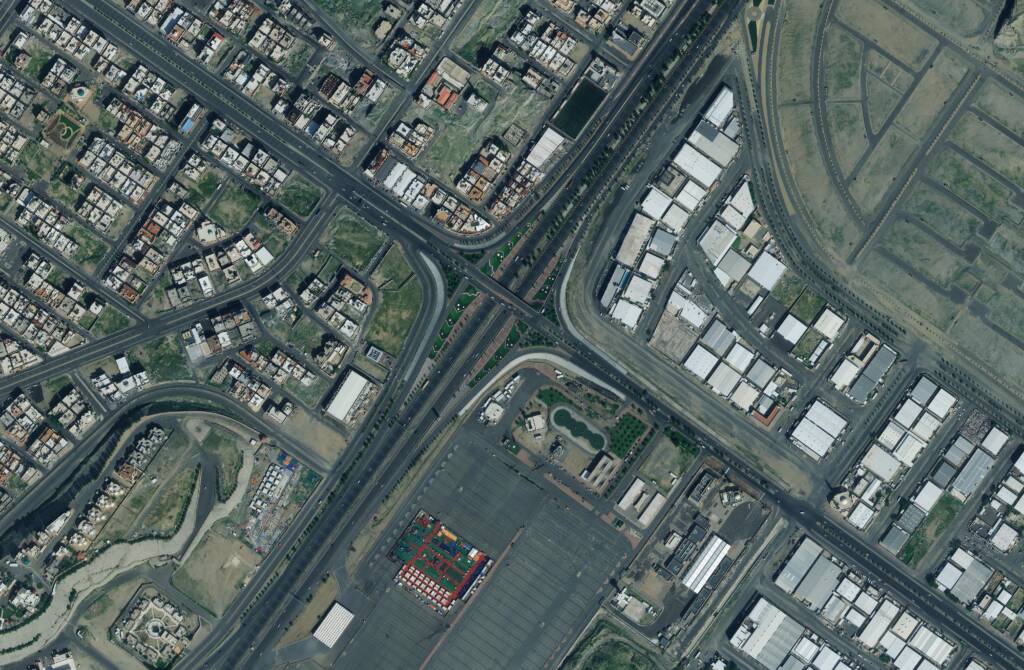
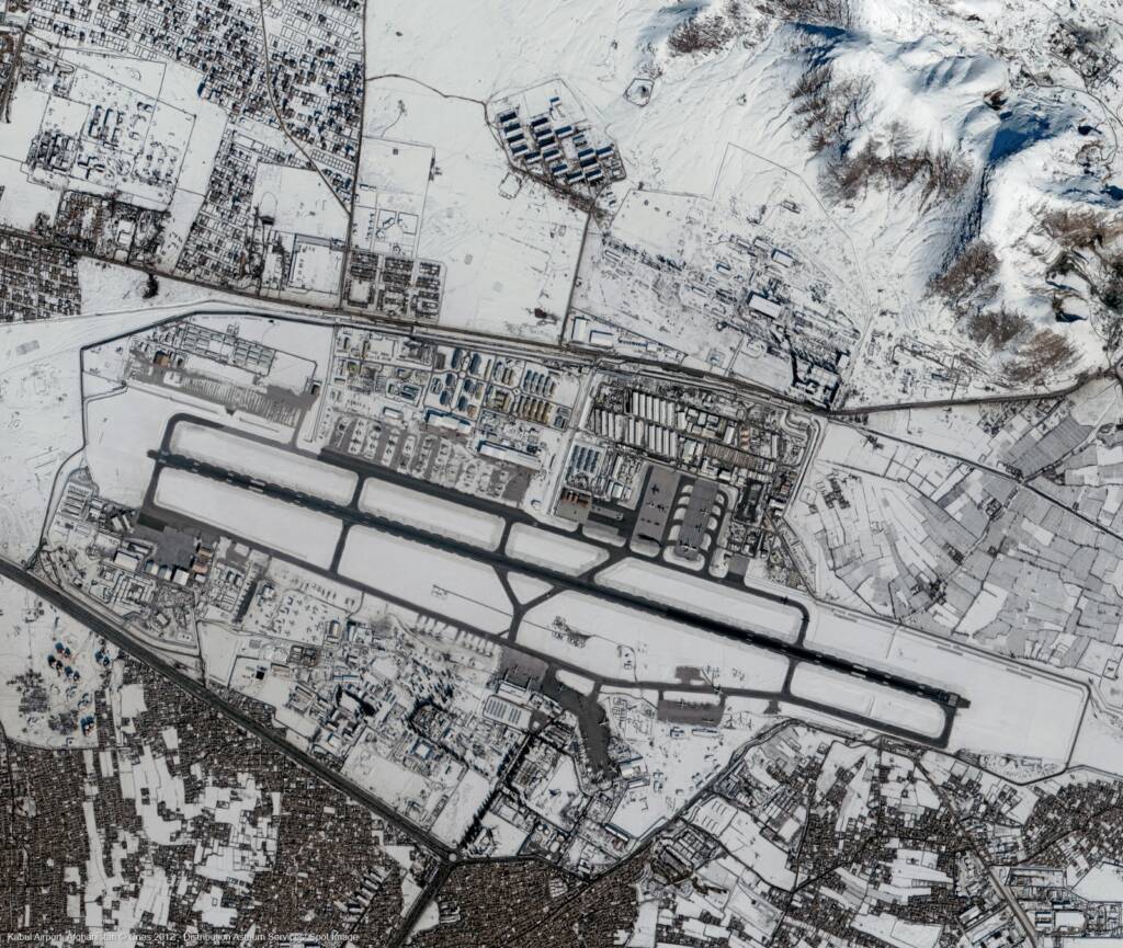
WebGIS in Urban Development & Infrastructure
Support smart city planning, infrastructure monitoring, and land use analysis with interactive mapping platforms.
WebGIS in Environment & Forestry
Monitor environmental changes, track deforestation, and analyze ecological data using web-based geospatial platforms.
FAQs
Frequently Asked Questions About WebGIS Development Services
What is WebGIS and how does it work?
WebGIS is a web-based geographic information system that allows users to access, visualize, and analyze geospatial data through a browser without requiring specialized software.
What are WebGIS development services?
WebGIS development services involve building custom web-based GIS applications for mapping, data visualization, spatial analysis, and real-time geospatial data access.
What industries use WebGIS applications?
WebGIS is used in agriculture, defence, mining, urban planning, disaster management, and environmental monitoring for real-time mapping and data sharing.
Can WebGIS integrate with satellite imagery and GIS data?
Yes, WebGIS platforms can integrate satellite imagery, GIS datasets, APIs, and real-time data sources for comprehensive geospatial analysis.
Is WebGIS suitable for real-time data monitoring?
WebGIS enables real-time monitoring of assets, infrastructure, and environmental conditions through live data integration and interactive dashboards.
Can WebGIS applications be customized for specific projects?
Yes, WebGIS applications can be fully customized with features, data layers, user roles, and dashboards based on project requirements.