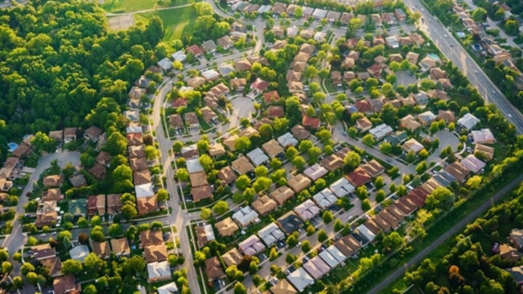
An integrated spatial environment to assessment of urban features helps our customer gather up to date information from imagery in conjunction with other data sources. Fast collection of data for assets, infrastructure and developments assists in project planning, financial reporting, impact assessment or project planning. In some regions, up to date information about specific features may not be readily available.
Use of available remotely sensed imagery along with targeted field verification, organizations can rapidly update their asset databases to report on specific features. In many countries, where up-to-date information is frequently missing in data banks at Municipal, State and Federal level, the information obtained from satellite images can eventually fill this gap.
SATPALDA’s services can help in fulfilment of various requirements related to urban planning such as to:
Update land use/land cover databases at urban, national and regional scales
Conduct environmental impact studies
Monitor urban sprawl
Obtain a feature database for geographic information systems.