SATPALDA delivers precise and reliable surveying solutions for various industries using state-of-the-art technologies. Our expertise includes:
Wetland Delineation
Boundary & Cadastral Surveys
As-Built & Tree Surveys
Topographic Surveys
Roadway & Drainage Staking
Engineering & Urban Planning
We serve engineering firms, architectural consultants, real estate developers, and government agencies, providing highly accurate data for residential, commercial, and infrastructure projects. Our clientele includes federal and state agencies, oil and gas companies, pipeline firms, and industrial organizations.
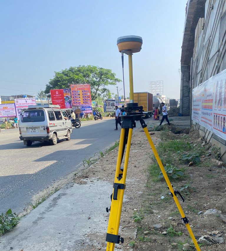
Advanced Surveying TechnologiesDGPS Surveying
SATPALDA utilizes Differential GPS (DGPS)technology to achieve centimeter-level accuracy in land surveying, construction, agriculture, and infrastructure development. Our highly accurate geospatial data enhances project planning, minimizes errors, and supports informed decision-making
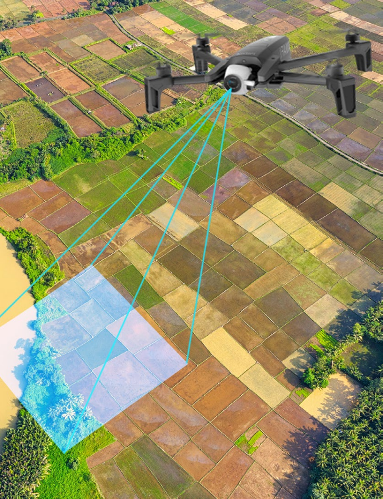
UAV/Drone Surveying
Our Unmanned Aerial Vehicles (UAVs) / Drones services offer cost-effective, high-resolution aerial mapping solutions. Equipped with LiDAR sensors, high-resolution cameras, and thermal imaging, our drones enable efficient data collection for land surveys, environmental monitoring, and infrastructure inspections progress.
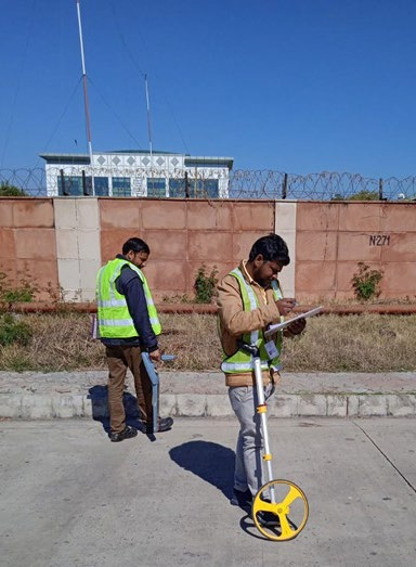
GPR (Ground Penetrating Radar)
SATPALDA’s Ground Penetrating Radar (GPR)technology facilitates subsurface mapping for utility detection, archaeology, and geological investigations. This non-invasive technique provides precise insights into underground structures, ensuring precision in infrastructure planning and effective asset management.
By leveraging cutting-edge technology and industry expertise, SATPALDA delivers superior surveying and mapping solutions tailored to your project requirements.