Spacewill
SPACEWILL
From January 28th 2019, SpaceView changed into SpaceWill. SpaceWill Info. Co., Ltd. (‘SpaceWill’) is a leading provider of EO satellite data and geospatial information services. The company business covers optical and SAR satellite imagery, data processing, value-added products, software and solutions for RS Satellite Ground Receiving Station.

Super View-1
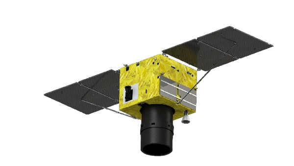
SuperView-1 (SV-1) is composed of 4 identical VHR EO satellites running along the same orbit and phrased 90° from each other.
| Launch Time | SV-1 01/02:28 Dec. 2016 SV-1 03/04:09 Jan. 2018 |
| Orbit | Altitude: 530 Km. Type: Sun-synchronous Period: 97 minutes |
| Design Life | 8 Years |
| Sensor bands | Panchromatic: 450-890 nm Blue: 450-520 nm Green: 520-590 nm Red: 630-690 nm Near-IR: 770-890 nm |
| Spatial resolution | PAN: 0.5 m, MS: 2 m (Nadir) |
| Dynamic range | 11 bits |
| Swath width | 12.1 km (Nadir) |
| Onboard storage | 4.0 TB |
| Stereo imaging | YES |
| Revisit Time | Within 1 day/4 satellites |
| Positional accuracy | 9.5m CE90 (Nadir) |
| Data transmission | 2*450 mbps |
| Daily capacity | 600,000 km²/satellite |

GF -1 and GF-2
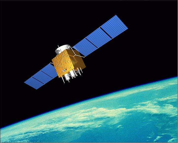
GF -1 include 4 identical satellites. It mainly applies in land resource investigation, mineral resource management, atmospheric and water environment quality monitoring and natural disaster emergency response and monitoring. GF-2 is a follow-on mission of the GF-1. It provides high accuracy, geographical mapping, land and resource surveying, environment change monitoring, etc.
| GF1 | GF2 | |
| Launch time |
GF-1 01: 26 April 2013 GF-1 02 / 03 / 04: 11 April 2018 |
19 August 2014 |
| Orbit |
Altitude: 645 km Type: Sun-synchronous Period: 97 minutes |
Altitude: 631 km Type: Sun-synchronous Period: 97 minutes |
| Sensor bands | PAN: 450-900 nm (PMC only) Blue: 450-520 nm Green: 520-590 nm Red: 630-690 nm Near-IR: 770-890 nm |
PAN: 450-990 nm Blue: 450-520 nm Green: 520-590 nm Red: 630-690 nm Near-IR: 770-890 nm |
| Spatial resolution | PMC: 2 m for PAN, 8 m for MS WFI: 16m for MS |
PAN: 0.8 m, MS: 3.2 m |
| Swath width | PMC: 69 km, WFI: 830 km | 45 km by twin cameras (Nadir) |
| Revisit time | 4 day | 5 days |

GF-4
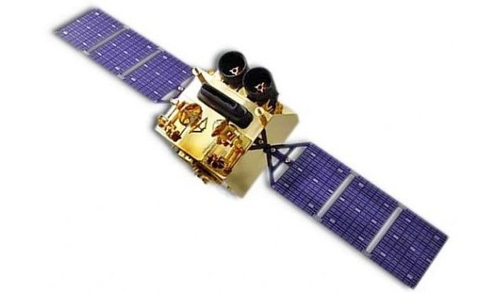
GF-4 satellite is the geosynchronous orbit remote sensing satellite and equipped with one stare camera with resolution of 50 m VNIR and 400 m MWIR spectrum and 400 km swath.
| Launch Time | 29 December 2015 |
| Orbit | Altitude : 36,000 km Type : Geo-synchronous Fixedpoint location : 105.6°E |
| Design life | Design life |
| Sensor bands | VNIR: Blue: 450-900 nm Green: 450-520 nm Red: 630-690 nm Near-IR: 760-890 nm MWIR: 3500-4100 nm |
| Spatial resolution | VNIR: 50m, MWIR:400m |
| Dynamic range | 10 bits |
| Swath width | 400 km |
| Revisit time | 20 seconds |