satellite imagery and geospatial services provider
Our Services
Our cost-effective solutions cater to the broad spectrum of government and industry users.
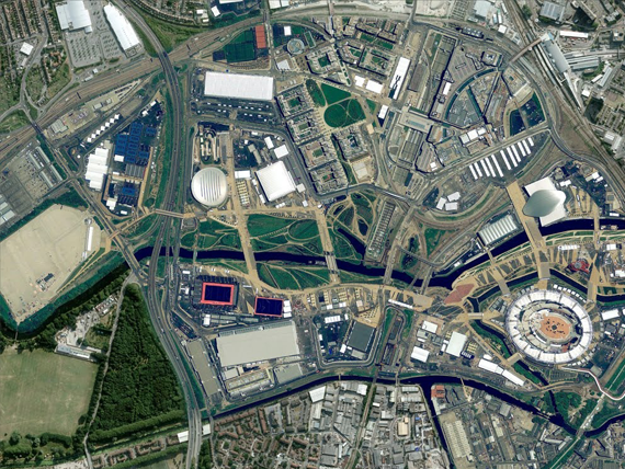
DATA SERVICES
Superior Quality Multi-Resolution Imagery Products to suit wide range of applications.

PRODUCTION SERVICES
Convert High Resolution satellite and aerial imagery into precise and accurate customized products.
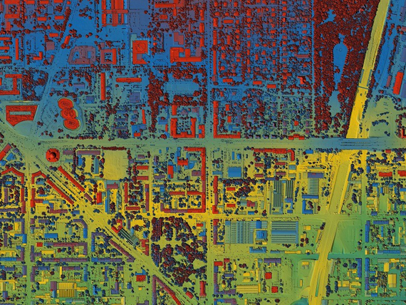
VALUE ADDED PRODUCTS
Enhance the usability of the data with our value addition services.
Welcome to SATPALDA: Your Comprehensive Source for high resolution satellite imagery and Geospatial Solutions
At SATPALDA, we take pride in being your premier destination for geospatial solutions and high-resolution satellite imagery. Our journey in the geospatial industry is marked by an unwavering commitment to excellence, and we are dedicated to providing the tools and insights you need to make informed decisions and achieve success in your projects.
High-resolution satellite imagery forms the cornerstone of our services. We understand that in today’s data-driven world, the quality of information is paramount. Whether your focus is agriculture, environmental monitoring, urban planning, or any other application, our high-resolution satellite imagery sets the gold standard. It offers the latest, most detailed data available, capturing the Earth’s landscapes with precision.
With SATPALDA’s high-resolution satellite imagery, you gain the ability to monitor changes, analyze land use, detect environmental shifts, and plan with a level of precision that was previously unimaginable. It’s a powerful tool that provides invaluable insights, guiding your decisions and actions.
A Leader Among Satellite Imagery Providers, we are one of the industry’s leading satellite imagery providers, SATPALDA is synonymous with trust, reliability, and accuracy. Over the years, we have cultivated a vast network of partnerships with satellite operators, giving us access to an extensive array of satellite data sources.
These sources include optical, radar, and multispectral data, ensuring we can meet your specific requirements, no matter how diverse or specialized. Our commitment to quality and accuracy means that you can rely on our data to drive your projects with confidence.
Comprehensive Geospatial Solutions
At SATPALDA, we understand that geospatial information goes beyond just imagery. That’s why we offer a suite of comprehensive geospatial solutions tailored to your unique project requirements. Our team of experts is well-versed in the complexities of the industry and stands ready to assist you at every stage of your project.
Our geospatial solutions encompass data analysis, processing, mapping, and software applications. These are not one-size-fits-all solutions, but customized services designed to streamline your workflow and deliver the precision and accuracy you demand.
Empowering Your Success
We firmly believe that success is not only about data; it’s about the decisions you make and the actions you take. SATPALDA is here to empower you by providing the tools and insights needed to make informed choices and drive your project to new heights. Our mission is to support your success by offering cutting-edge geospatial services and high-quality satellite imagery. With SATPALDA as your partner, you can harness the remarkable power of geospatial data to gain a competitive edge.
Our Vision
Our vision is to be at the forefront of the geospatial revolution, providing innovative solutions that address the world’s most pressing challenges. We envision a world where data-driven insights lead to more informed, efficient, and sustainable practices across industries and disciplines.
Connecting with SATPALDA
Now that you’ve had an introduction to SATPALDA, we invite you to explore our website further. Dive into the details of our services, learn about our team, and get in touch with us to discuss your specific project requirements.
We at SATPALDA are more than simply a business; we are your partner in utilising geospatial technology to its fullest potential. Become a part of the fascinating world of data-driven choices and geospatial innovation with us, and let’s work together to have a good influence.
Contact SATPALDA today, and let us guide you on the path to success with high-resolution satellite imagery and comprehensive geospatial solutions.
Our Partners
Across our partner programmes, we collaborate with technology companies and solutions providers to transform organizations, operations and industries.






Latest Blogs
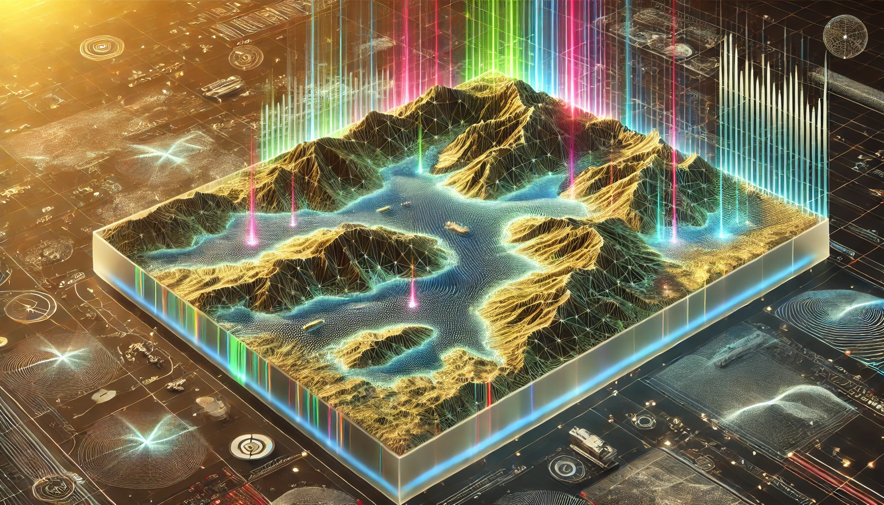
Select LiDAR Data Processing: Transforming Raw Data into Precise Maps
A team of urban planners is working tirelessly to design a smart city. They need accurate data to ensure every street, park, and building aligns

Components of Remote Sensing
This industry in the GIS is called remote sensing which collects information about objects or areas from a distance by aircraft or satellite. The process
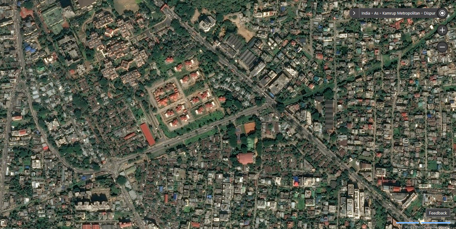
Satellite Town
Satellite towns are an emerging phenomenon in a rapidly urbanizing world. A smaller municipality or town situated near a major metropolitan city acts as a