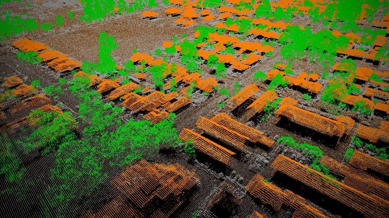
The basic mechanism is known as “time of flight” measurement where a laser beam is emitted towards an object, reflected off of the object and then collected in a sensor located within the LiDAR module. When the beam returns, it carries with it all kinds of information about the object that it contacted including distance and optical characteristics like reflectivity. Typical horizontal accuracies range between 20cm to 1.0m and vertical accuracies range 0.924 to 18.5cm. Derived products include DEM, DTM, DSM, contours, slope/aspect, 3-D topographic images, virtual reality visualizations and planimetric details.
Satpalda is specialized in handling lidar data processing services. Our Lidar services are significant in generating Digital Elevation Models (DEM), Digital Terrain Models (DTM) and Triangulated Inverse Network (TIN) which provides highly accurate detail of land surface.