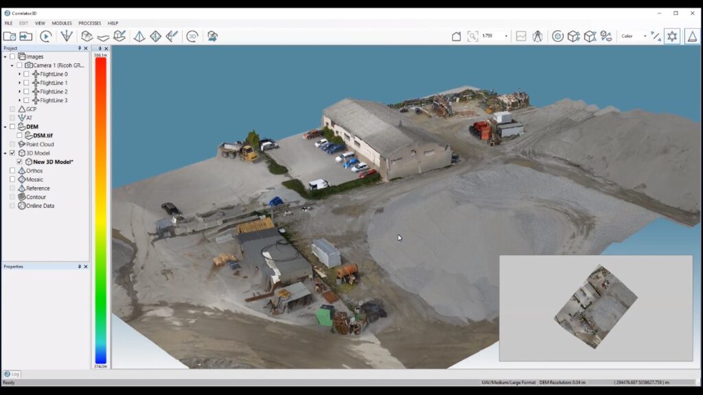
Correlator3d
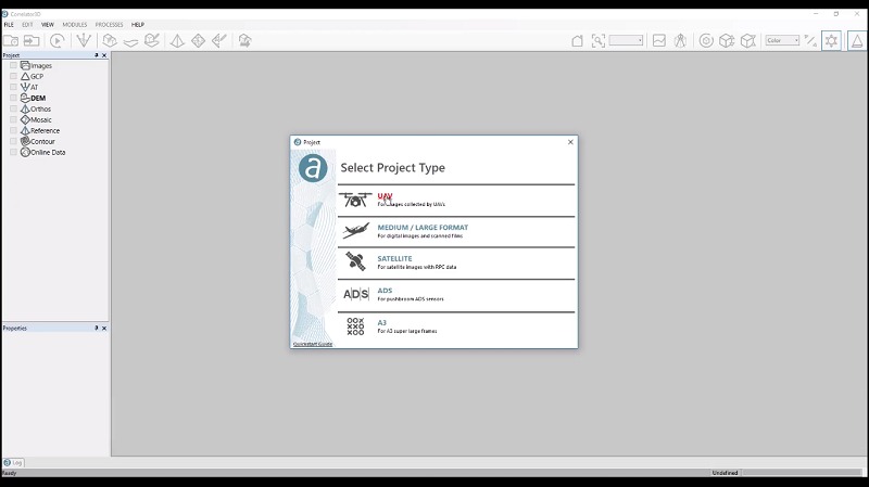
New Project Creation – Unlimited number of images can be added from any sensor source.
CORRELATOR3D
Sim Active’s Correlator3D is a patented end to end photogrammetry solution for the generation of high quality geospatial data from satellite and aerial imagery, including UAVs. Powered by GPU technology and multi-core CPUs, Correlator3D ensures matchless processing speed to support rapid production of large datasets. The launch and development in the Simactive software Correlator3D provides widespread applications in agriculture, emergency response, surveying and environmental monitoring.
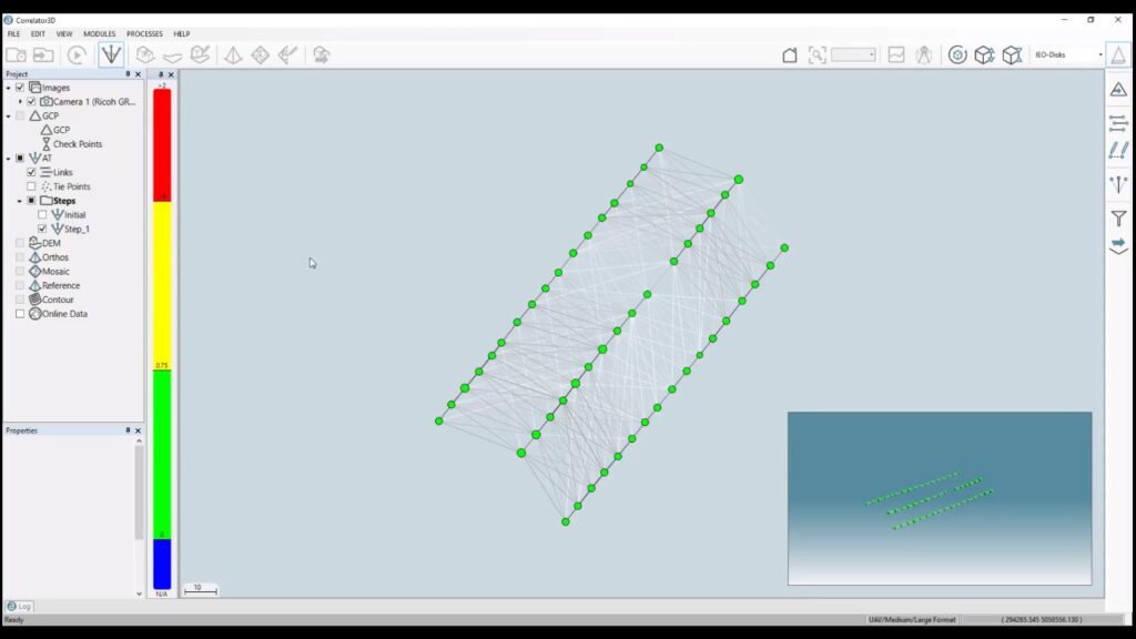
Perform Aerial Triangulation – it enables highly innovative tie-points extraction and bundle adjustment algorithm with high accuracy results.
SimActive Correlator3D has the following editing and processing tools:
- GCP Creation
- TiePoint Editing
- DEM Editing
- Mosaic Editing
- Aerial Triangulation
- DSM and PointCloud Generation
- DTM Extraction
- 3D Model Generation
- 3D Feature Extraction
- NDVI Map Creation
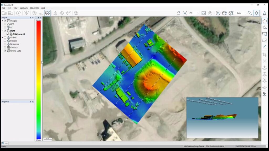
Generate Digital Surface Model & Point Cloud – It results ultra-dense output using unique autocorrelation techniques.
Its Unique Benefits Include:
- Simple and User friendly interface
- Unlimited number of images
- Survey grade accuracy with detailed reports
- Fast processing on GPUs and multi-core CPUs
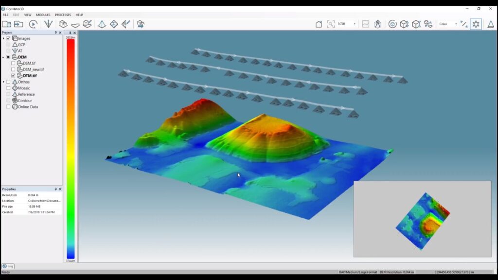
Extract Digital Terrain Model – Fully utomatic filtering of DSMs to extract DTMs.
Any Sensor with One Software Interface
Drones- Any UAV platform with all cameras and sensors and infrared multispectral imagery
Aircraft – Ultracam, DMC, RCD30, Phase One, ADS, VMA3, Scanned films, Multi-camera setup.
Satellite – Geoeye, WorldView, IKONOS, SPOT, RADARSAT-2, KOMPSAT, Pléiades
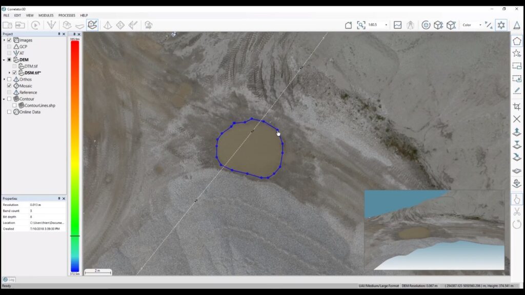
Edit Digital Elevation Model – It contains powerful editing functions to alter DEMs according to specific user preferences.
Additional Tools
- DEM Contour Extraction
- Point Cloud Colorization
- GCP Extraction
- Volume Calculations
- 3D Change Detection
- Script mode & Command Line
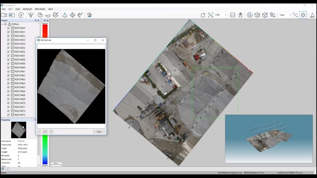
Orthorectify Images – It can produce individual orthorectified image
Simactive Correlator3D Workflow
An automated workflow is available for new users, while individual modules and tools can be accessed for advanced users. Moreover, a script mode can be used for batch processing.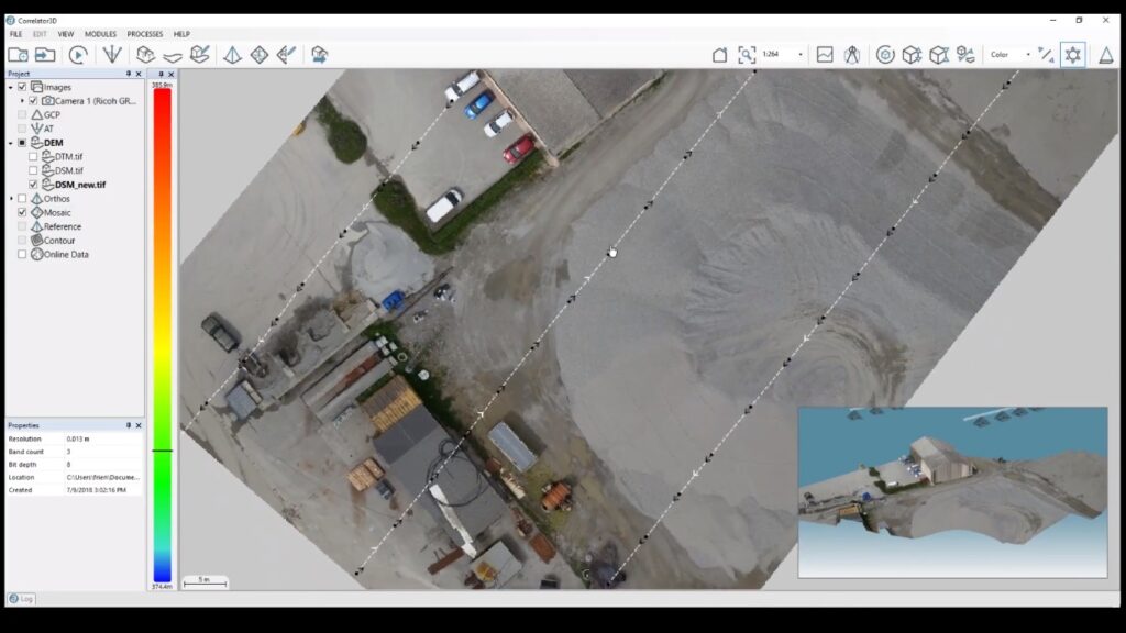
Create Mosaic – Automatic merging of orthophotos through seamline generation and color balancing to generate mosaics. The seamless mosaic can consist of unlimited images.
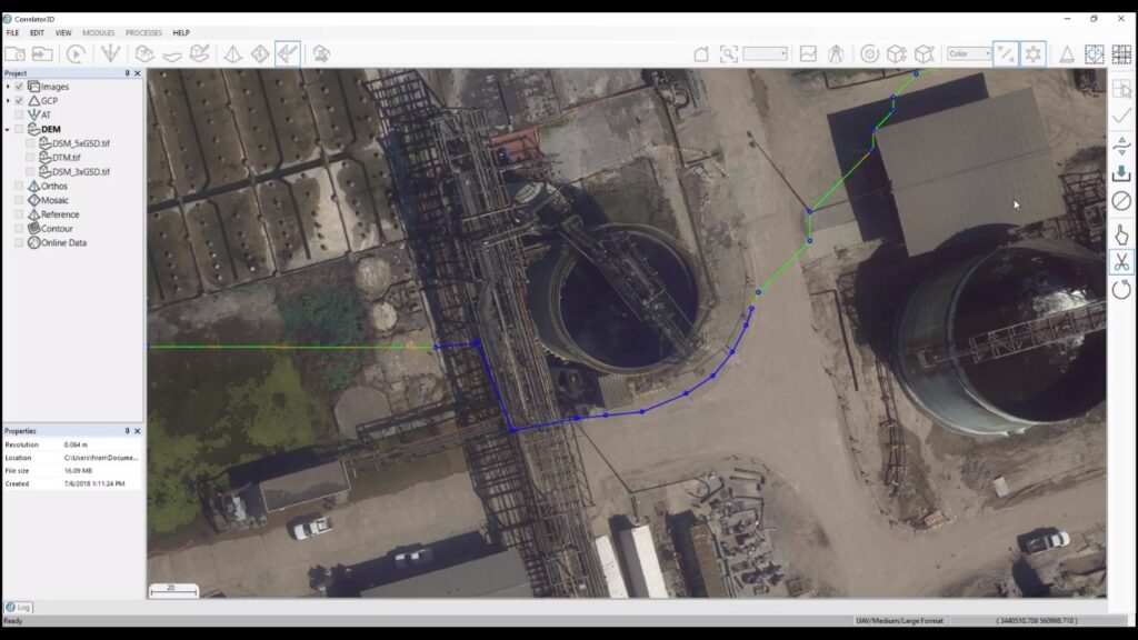
Edit Mosaic – It allows simultaneous multi-user seamline editing for the real-time updated final mosaic.
