- All Blogs
- Back
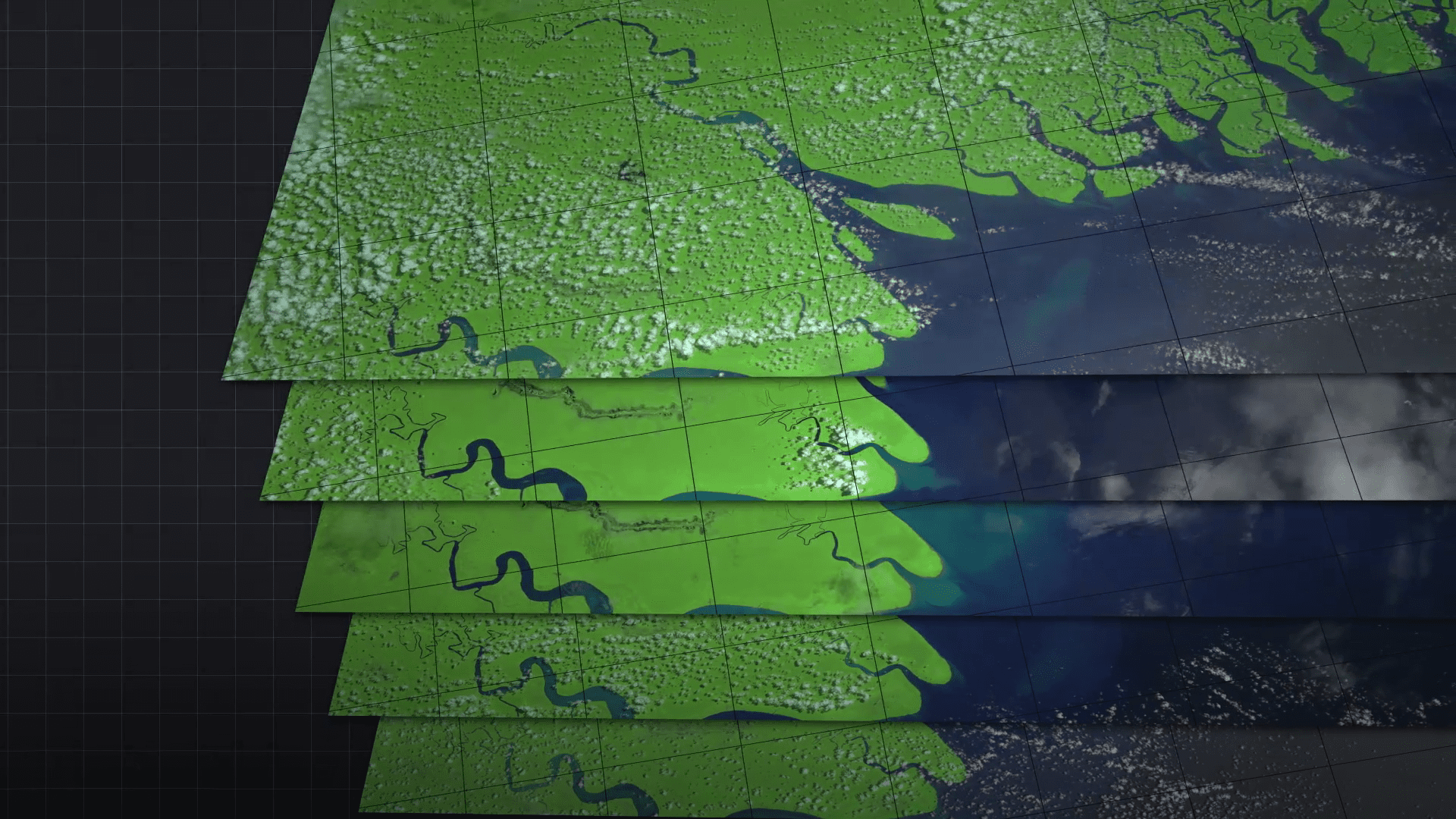
Geographic Information Systems emphasize the importance of the term “temporal resolution.” The frequency at which data has to be captured or observed above a given location…
GIS and remote sensing define spatial resolution as one of the definitions: it represents the degree of spatial detail in an image or dataset. It is…

Resolution in the GIS world relates to that of the quality and accuracy of spatial data. Resolution, referring to the amount of detail, is what geographic…
Aerial remote sensing is an essential technology meant for extracting information from the Earth’s surface using airborne onboard sensors. It is actually about receiving, measuring, and…

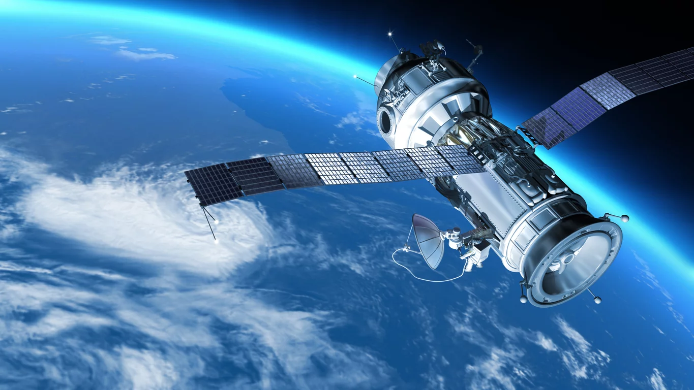
Remote sensing is a vital technology that revolutionized how we observe, understand, and interact with the Earth’s surface and atmosphere. It encompasses the acquisition, processing, and…
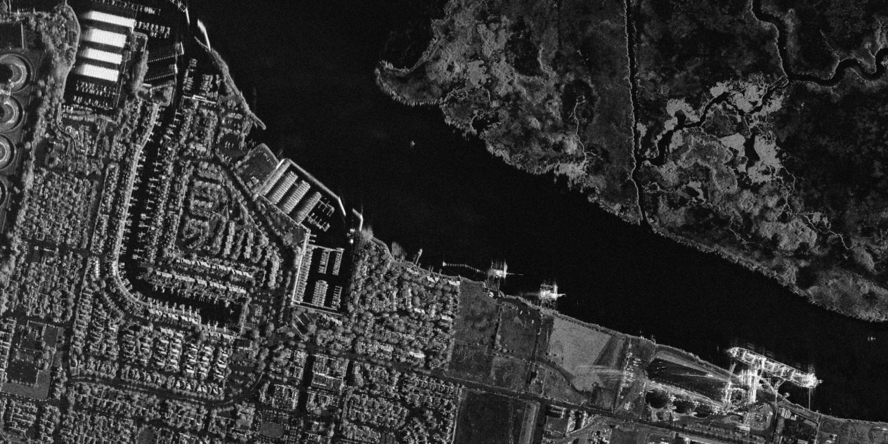
The term Synthetic Aperture refers to the technique SAR uses to achieve high spatial resolution where by moving the radar along a flight path and combining…
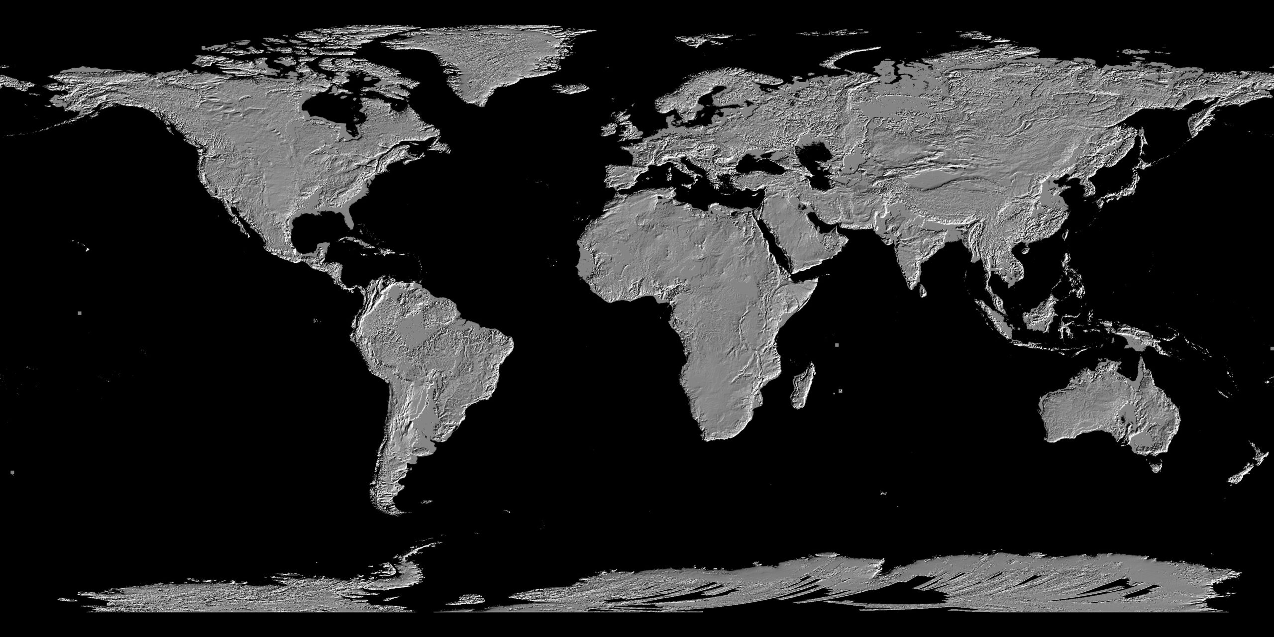
A Digital Elevation Model is essentially a raster dataset that stores elevation data for a geographic region. Each pixel (or cell) in the raster contains a…
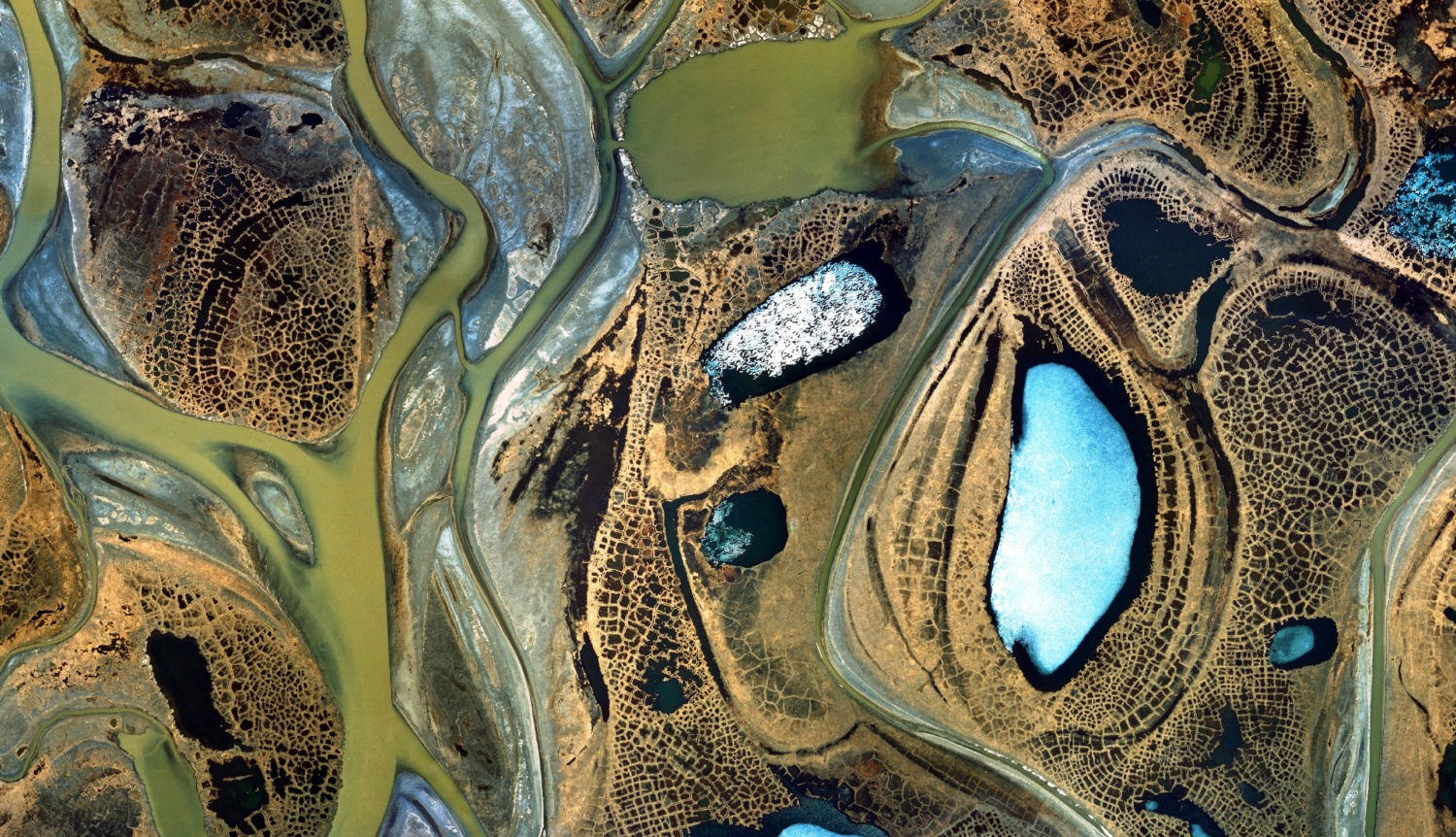
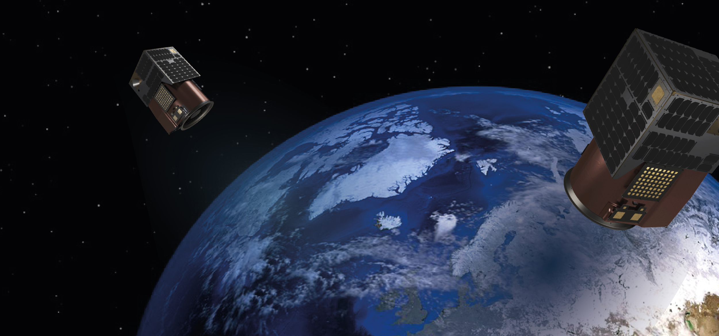
Satellite imagery is a critical component of the Geographic Information Systems (GIS) industry, offering a bird’s-eye view of the Earth’s surface. This technology captures images from…
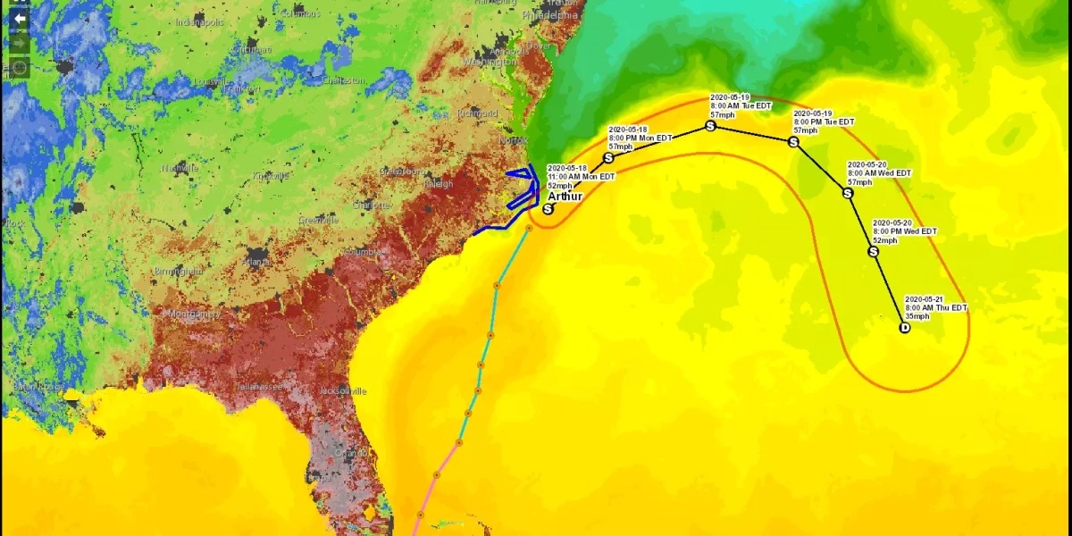
GIS is a technology that enables the collection, analysis and visualization of spatial data and in the context of disaster management, GIS helps in mapping hazards,…