- All Blogs
- Back
Imagine a company struggling to track their delivery trucks across a bustling city. Delays, missed routes, and wasted fuel were a daily headache. Then, they discovered…
In 2005, Switzerland experienced one of its most devastating floods, leaving vast areas and communities stranded. Emergency response teams struggled to assess the damage. Then came…
Imagine a city where traffic congestion is no longer a daily nightmare, infrastructure projects roll out faster, and environmental concerns are addressed before they escalate. For…
Imagine a city planner trying to decide the safest place to build a flood-resistant bridge. They don’t just look at a flat map, they rely on…
Imagine a farmer in Kenya struggling with unpredictable weather patterns. With one glance at satellite imagery, he gains insights into his fields—areas that need water, soil…
Imagine a farmer in Kansas managing crops with the precision of a surgeon. Thanks to remote sensing, satellite images show soil moisture, plant health, and weather…
A team of urban planners is working tirelessly to design a smart city. They need accurate data to ensure every street, park, and building aligns perfectly…
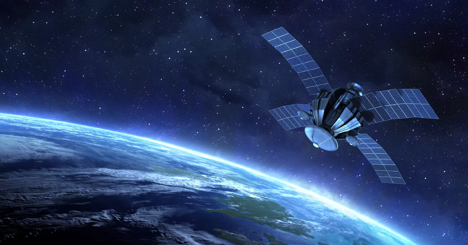
This industry in the GIS is called remote sensing which collects information about objects or areas from a distance by aircraft or satellite. The process identifies…
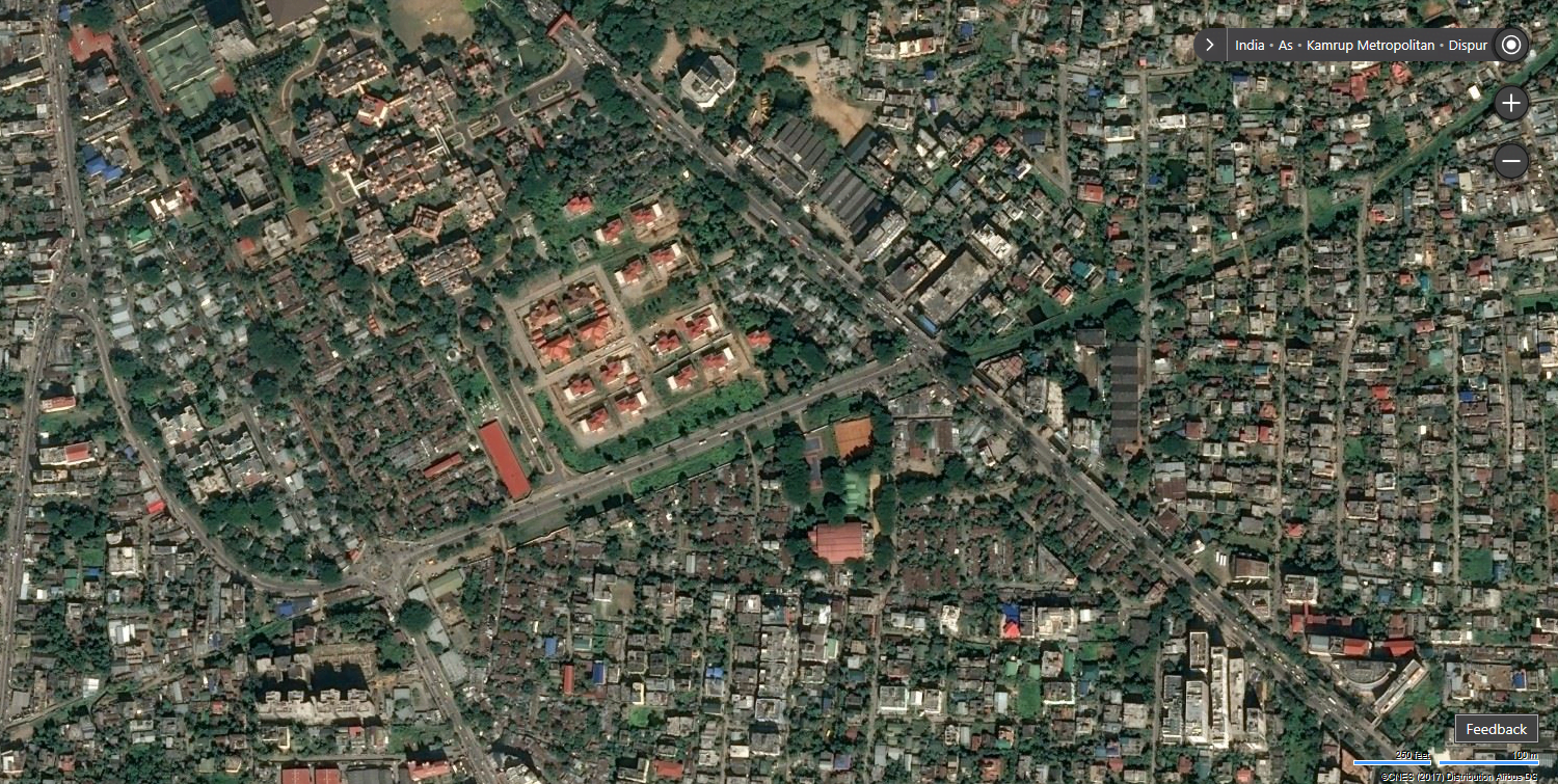
Satellite towns are an emerging phenomenon in a rapidly urbanizing world. A smaller municipality or town situated near a major metropolitan city acts as a complementary…